Drone Construction Site Monitoring in Hudson Valley
Good news for the Hudson Valley: keeping an eye on building projects is now much faster, thanks to drones.
Drones are no longer just for fun.
Businesses now rely on these flying machines to oversee their daily operations.
We’ll show you how drones are doing this for projects all over the Hudson Valley.
We’ll go over the perks, the everyday headaches, and all the cool stuff that might happen later.
The Rise of Drone Construction Site Monitoring in the Hudson Valley
The construction industry throughout the Hudson Valley is increasingly adopting drone technology.
Many companies now rely on drones to oversee their construction project development from start to finish.
Drones capture incredibly clear photos and videos from above, showcasing every aspect of a construction site.
You get so much more than just pretty pictures from above. Imagine the detailed maps you can create!
For any construction job, drones mean clearer blueprints and a safer environment for everyone working there.
Forward-thinking firms, much like larger companies such as Skanska USA, are recognizing that drone services offer a competitive edge in their national projects.
How Drones Are Used in Construction Site Monitoring
Drones are versatile tools for monitoring construction sites in the Hudson Valley.
Here’s how they’re being put to use across various construction projects:
Site Surveys and Mapping
Even before breaking ground, drones are invaluable for conducting comprehensive site surveys.
Aerial mapping services use drones to create detailed topographic maps and precise 3D models of the terrain.
This high-resolution aerial information is crucial during the planning and design phases of any construction project, particularly for large-scale real estate developments.
These initial land surveys provide engineers and architects with accurate data on contours, elevations, and existing features.
As construction proceeds, regular drone surveys continue to provide significant value.
They meticulously document the site’s evolution, offering clear visual evidence of progress against the project timeline through detailed site imagery.
The data collected, often in the form of point clouds or orthomosaic maps, can be integrated into CAD and BIM software.
This allows for direct comparison with design models, helping ensure the project stays on schedule and within specification.
Progress Tracking
Drones simplify and enhance the process of monitoring construction progress.
By capturing high-resolution images and producing footage of video production quality at regular intervals—daily, weekly, or bi-weekly—they create an irrefutable visual history of the project.
This documentation is crucial for tracking progress and ensuring quality throughout the construction lifecycle.
Project managers leverage this aerial imagery to keep stakeholders, including clients and investors, well-informed with transparent updates.
These visual reports are often more impactful and easier to understand than traditional written reports.
Furthermore, this consistent monitoring helps identify bottlenecks, schedule deviations, or workmanship issues that require immediate attention.
The ability to overlay current site imagery with design plans or previous captures allows for precise tracking of milestones.
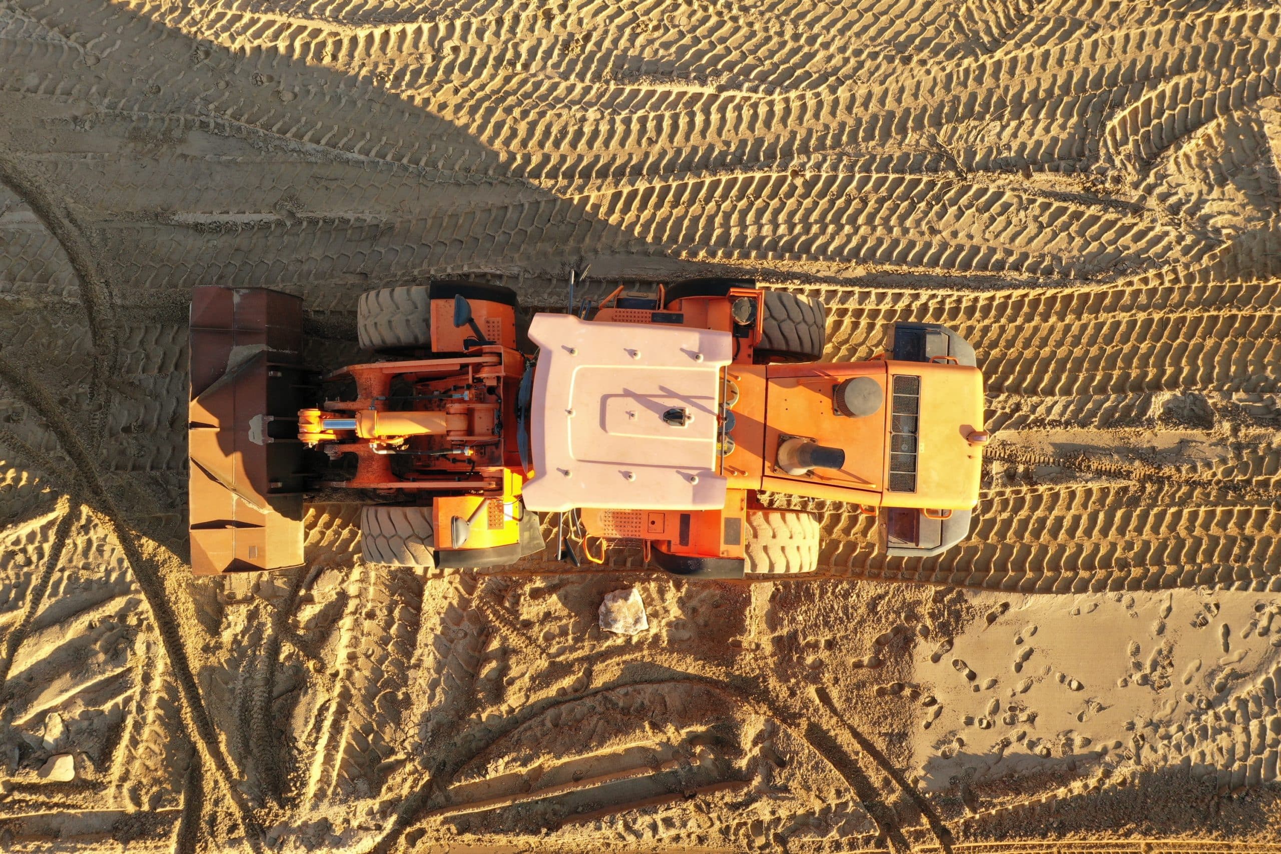
Equipment and Material Management
Managing equipment and materials across sprawling construction sites can be a logistical challenge.
Drones provide a comprehensive overview of the entire area, making it simpler to locate machinery, track inventory levels, and monitor stockpiles.
This aerial perspective helps optimize resource allocation and prevent loss or theft of valuable assets.
With up-to-date site imagery, managers can plan the movement of heavy machinery more effectively, identifying optimal routes and avoiding congestion in tight spaces.
This detailed site awareness enhances operational efficiency and minimizes the risk of accidents related to equipment maneuvering.
It also facilitates the verification of deliveries and ensures that materials are stored correctly.
Some advanced drone systems can even assist with volumetric calculations for stockpiles, such as soil or gravel.
This accurate data helps in precise material ordering and reconciliation.
Comprehensive Drone Inspections
Beyond general monitoring, drones excel at performing detailed drone inspections.
This capability is critical for quality control, safety compliance, and assessing hard-to-reach areas.
For instance, drones can inspect facades, roofing systems, bridges, and other infrastructure components quickly and safely through infrastructure inspections.
These inspections provide high-quality aerial views that can reveal cracks, leaks, corrosion, or other defects not easily visible from the ground.
Specialized sensors, such as thermal cameras, can detect heat loss, water intrusion, or electrical faults.
Such drone inspections are particularly useful for ongoing maintenance assessments on completed structures or for verifying the quality of installations during construction.
The data gathered, including images and video, creates a thorough record for analysis and reporting.
This documentation supports maintenance planning and warranty claims.
Environmental Monitoring
Another increasingly important application of drones in the Hudson Valley is for environmental monitoring.
Construction projects, especially large-scale ones, can have significant environmental impacts.
Flying overhead, drones collect information on soil erosion, water drainage, and the overall health of nearby plants.
This type of monitoring is crucial for compliance with environmental regulations and for implementing sustainable construction practices.
Drones can quickly survey large areas, providing data that helps mitigate negative impacts and protect local ecosystems.
This proactive approach to environmental stewardship is valued by communities and regulatory bodies alike, helping projects align with sustainable construction goals.
Challenges of Drone Construction Site Monitoring in Hudson Valley
While drones offer many benefits, there are some challenges to consider for effective drone construction implementation:
Regulations and Permits
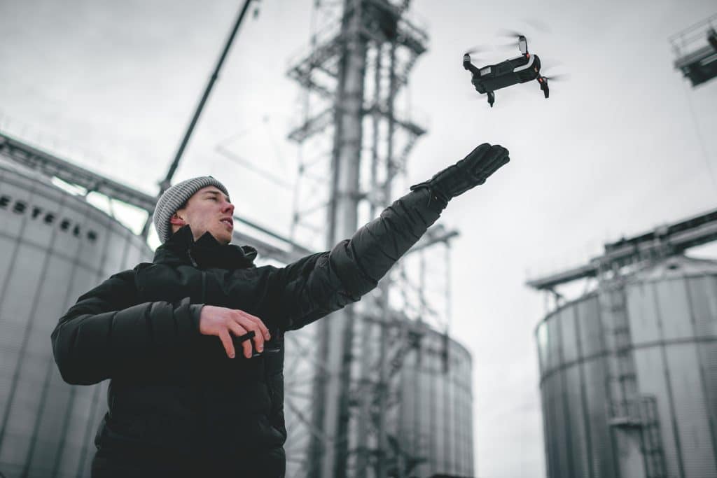
Operating drones for commercial purposes, such as construction site monitoring, requires adherence to strict regulations.
In the Hudson Valley, as elsewhere in the US, drone pilots must comply with Federal Aviation Administration (FAA) regulations, primarily Part 107. This includes obtaining a Remote Pilot Certificate and registering the drone.
Beyond federal rules, operators may need to obtain permits or waivers from local authorities, depending on the flight location, especially near airports or in sensitive areas.
Understanding airspace classifications, temporary flight restrictions (TFRs), and no-fly zones is critical.
It is also important to respect copyright laws associated with the captured data, including images, and ensure that their use for unauthorized purposes is strictly prohibited.
Managing these regulatory requirements can be complex, and staying informed about updates to FAA regulations is essential for legal and safe operations.
Non-compliance can lead to significant penalties.
Many Hudson Valley local construction companies choose to partner with professional drone services providers who are experienced in these matters.
Weather Conditions
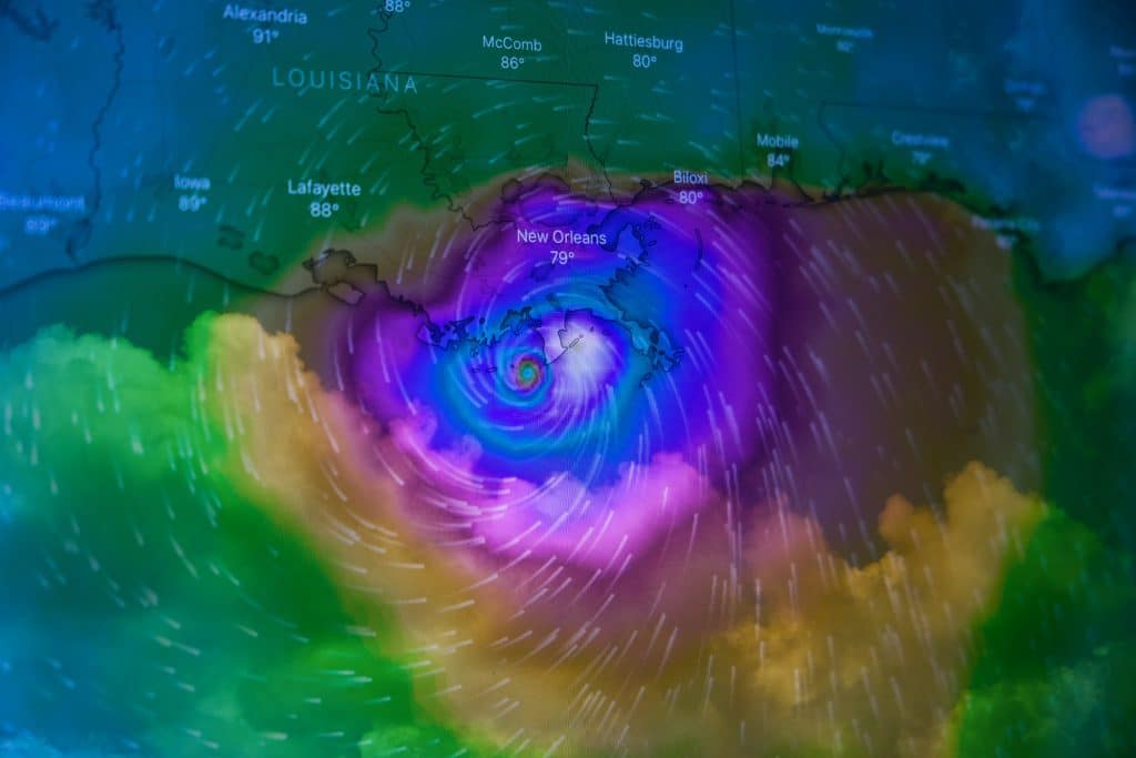
The diverse weather patterns of the Hudson Valley present a notable challenge for drone operations. Conditions such as strong winds, heavy rain, snow, or fog can make flying drones unsafe or altogether impossible.
These weather-related limitations can cause delays in scheduled site monitoring activities and impact data collection consistency.
Drone pilots must carefully plan flights by checking detailed weather forecasts.
They also need to be prepared to postpone or reschedule missions when atmospheric conditions are unfavorable.
The quality of aerial imagery can also be affected by poor lighting or precipitation, potentially reducing the value of the collected data for progress monitoring.
Having contingency plans is important.
This might involve identifying alternative flight windows or, in some cases, relying on ground-based methods if drone flights are repeatedly hampered by adverse weather.
Despite these challenges, careful planning can mitigate most weather-related disruptions to drone construction monitoring.
Data Management
Drones are capable of collecting vast amounts of data in a short period, including high-resolution images, videos, and sensor readings.
Managing this voluminous information—processing, storing, and analyzing it—can be a significant undertaking.
Construction teams require robust IT infrastructure and software solutions to effectively handle large datasets.
The sheer volume of data, especially from frequent flights or large sites, demands considerable storage capacity and processing power.
Specialized software is often required to stitch images into maps, create 3D models (such as point clouds from drones that capture high-resolution images), or analyze thermal data.
Ensuring data security and establishing clear protocols for data access and sharing are also crucial considerations.
Furthermore, skilled personnel are required to accurately interpret the aerial data and translate it into actionable insights for project managers.
Without proficient analysis, the full potential of drone-acquired information might not be realized.
Investing in training or partnering with experienced drone data specialists can help overcome this challenge and maximize the return on investment in drone technology.
Choosing Drone Services in the Hudson Valley
When selecting drone services for your construction project in the Hudson Valley, several factors should be considered.
Experience in the construction industry is paramount, as a provider familiar with job site workflows and data requirements will deliver more relevant insights.
Look for companies that can showcase a portfolio of similar projects or positive case studies.
Certification and compliance are non-negotiable. Confirm the drone service provider holds current FAA Part 107 certification for all pilots who will operate on your site and carries adequate liability insurance.
Inquire about their safety protocols and understanding of local airspace regulations, particularly for operations near populated areas or critical infrastructure, to ensure public safety is maintained.
Discuss your specific needs to get a custom quote.
A reputable provider will want to understand your project objectives, required deliverables (e.g., progress photos, topographic maps, 3D models), and desired frequency of flights.
Want a successful project with fewer mistakes and great control?
That happens when you nail down drone service details early. Ensure they align with your goals and budget from the outset.
Conclusion
Drones offer a huge upside for construction, from enhanced safety on construction sites to significant cost reductions and improved accuracy in progress tracking.
Although handling government rules and all the site data requires effort, their growth on job sites is evident.
Continuous advancements in drone capabilities, coupled with deeper integration with AI and BIM, indicate that their importance will only escalate.
For construction businesses and real estate developers in the Hudson Valley, adopting drone technology is a strategic move.
It represents an investment in superior project management, operational efficiency, and workplace safety.
Embracing these tools can provide a distinct competitive advantage and contribute to more successful project outcomes for any Hudson Valley local company.
