SkyeTech Aerial Updates
Visit our Current News to catch up on the latest updates and news about our business.
-
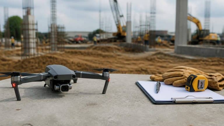
How to Map a Construction Site: A Step-by-Step Process
Learn how construction site mapping works, from flight planning and data capture to accuracy checks and handoff. Follow steps your crew can use today.
-
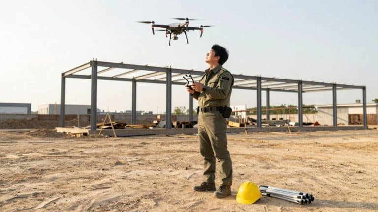
Drone Monitoring vs Manual Checks for Construction Sites
Drone monitoring catches grading errors and safety issues earlier than manual checks. See how the two methods compare on accuracy, speed, and cost.
-
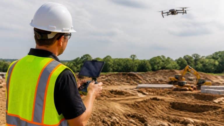
7 Ways Drones Improve Construction Site Safety
Construction site safety improves when drones handle risky inspections. Map unstable ground with a remote survey before crews are assigned to that area.
-
Plan and Track Construction Progress: A Step-by-Step Guide
Learn how to plan smarter and track construction project progress effectively. Step-by-step workflow, KPIs, and tools for construction managers.
-
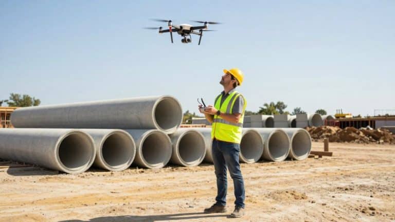
How to Find and Hire a Drone Mapping Service Near You
Drone mapping services near you can deliver site maps and progress data faster than manual surveys. Learn how to find, vet and hire the right provider.
-
How to Process LiDAR Point Clouds for Construction Projects
Learn how to process LiDAR point clouds for construction, from cleaning and classification to building an accurate 3D site model you can measure against.