Commercial Drone Photography for Project Milestones
See how commercial drone photography for project milestones gives you total project clarity. Track progress, improve safety, and communicate better with stakeholders.” }

See how commercial drone photography for project milestones gives you total project clarity. Track progress, improve safety, and communicate better with stakeholders.” }

Discover how construction site drone mapping and analysis revolutionizes project management, boosts efficiency, and cuts costs in the Northeast.

Learn how stockpile measurement with drones offers fast, safe, and accurate inventory data for construction and aggregate companies in the Northeast.

Discover how aerial progress reporting for commercial construction uses drone data, 3D models, and site maps to keep projects on time and under budget.
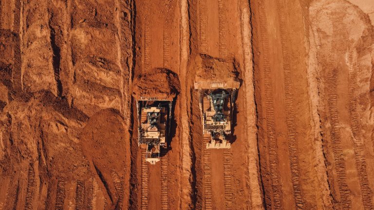
See how drone volumetrics for earthwork sites delivers accurate stockpile data. Learn the benefits for construction, aggregates, and agriculture.