Improve Efficiency: Stockpile Measurement with Drones
You’re probably sick of staring at massive piles of material on your site. Just how much material sits there? Nobody wants to guess anymore. Spending an entire day walking a pile with a GPS feels totally outdated.
Drone technology now offers a superior solution for precise stockpile measurement.
Imagine getting truly dependable information, delivered right when you need it.
Accurate stockpile measurement enables you to make informed business decisions, from bidding on jobs to ordering materials.
What’s Wrong with the Old Way of Measuring Stockpiles?
You’ve probably been there before. Your team spends hours, maybe even a full day, walking around stockpiles. They use equipment that can be tricky and the final number still feels like a rough guess.
Traditional methods are packed with problems. They eat up valuable man-hours that your survey teams could be spending on the actual job.
This isn’t just an inconvenience; it’s a direct hit to your bottom line and can disrupt your entire supply chain management.
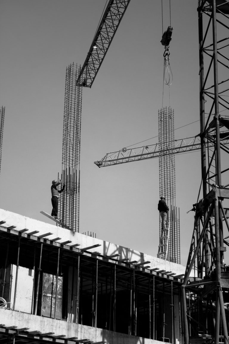
There’s also the big question of worker safety. Asking someone to climb an unstable pile of gravel or sand is a serious risk.
The potential for a slip or fall is always there, creating safety risks that no construction or aggregate company wants to face.
The collected data is also often inconsistent. These inaccuracies compound over time, leading to budget overruns, incorrect orders, and lost bids because you couldn’t trust your stockpile data.
How Drones Revolutionize Stockpile Measurement
Imagine obtaining those same stockpile measurements in a fraction of the time, without anyone ever having to set foot on the pile. That’s what drones bring to the table. It feels almost like magic, but it’s actually a smart technology called photogrammetry.
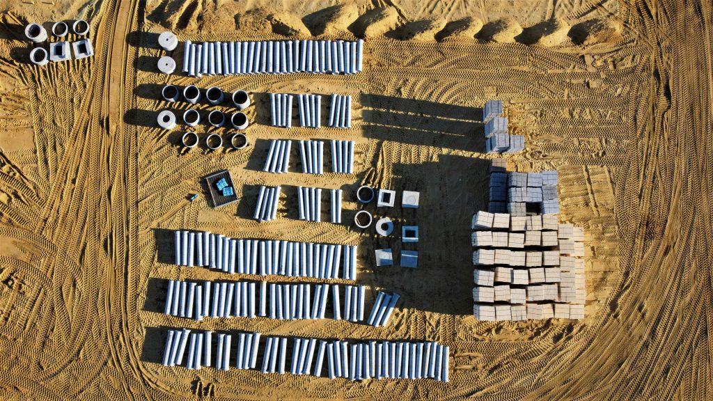
Here’s how it works in simple terms. A drone flies a pre-planned, automated path over your site to capture aerial images.
It takes hundreds of high-resolution, overlapping pictures from different angles, seeing every peak and slope of your stockpiles with incredible detail.
That’s just the first step. Special mapping software combines all those individual pictures into a single, seamless image.
This process creates precise, measurable 3D models and point clouds of your entire site, from which you can extract accurate volumetric measurements.
The Benefits of Using Drones for Stockpile Measurement
Moving from manual surveys to drones isn’t just a small step up. It’s a leap forward for your business. The advantages impact nearly every aspect of your operation, from the safety of your crew to the health of your budget.
Speed and Efficiency
Think about the time required to do a manual survey. You may need to shut down a portion of your yard or quarry. You have at least one person tied up for the entire day.
A drone can fly a 50-acre site in under an hour, making the data collection phase lightning fast. Instead of waiting days for a report from a third-party surveyor, you can have accurate volumes on your desk the very same day.
This lets you react quickly, make informed decisions, and keep your projects moving without delay, as it’s easier to cover large areas this way.
Unmatched Accuracy

“Close enough” doesn’t cut it when it comes to inventory.
A small percentage error on a massive project can result in tens of thousands of dollars in lost material or miscalculated costs. Drones eliminate that guesswork and provide accurate measurements.
When done correctly with ground control points, stockpile measurement with drones can achieve accuracy within 1 to 2 percent.
This level of precision is backed by industry reports and helps you manage your inventory with total confidence. You know exactly what you have, so your stockpile analysis can be used for solid planning.
Keeping Your Team Safe
Nothing is more important than your team’s safety. Traditional stockpile measurement tools force people to walk on and around potentially dangerous stockpiles.
This is especially true where wet or icy conditions can make these piles even more treacherous.
With a drone survey, the operator stays safely on the ground, far from any hazards. The drone does all the dangerous work. Reducing on-foot time in hazardous areas is a major win that helps improve safety records and lowers insurance risks.
Saving Money in the Long Run
It’s easy to think that new technology is expensive, but drones can actually save you money.
You cut down on labor costs for surveying and you don’t have operational downtime. The real cost savings, though, come from the accuracy of the drone data.
When you know your exact volumes, you don’t over-order materials. You can create more competitive bids because your numbers are solid.
It prevents the costly mistakes that come from working with bad data and ultimately helps cut costs across the board.
FAQS
When new tools arrive, questions pop up. Here are answers to some of the most frequently asked questions about using drones to measure stockpiles.
How accurate are drone stockpile measurements?
The accuracy is one of the biggest advantages. With a proper workflow that includes ground control points, drone measurements typically yield results within 1-2% of traditional survey-grade measurements. This level of precision is far superior to guessing or pacing off a pile.
How often should I measure stockpiles?

The speed and low cost of drone mapping allow for frequent stockpile measurement.
Many operations choose to measure stockpiles monthly, or even weekly, to maintain a real-time inventory.
This enhances supply chain efficiency and enables accurate tracking of material usage.
What kind of materials can be measured?
Drones are effective for measuring materials of nearly any type. This includes sand, gravel, stone, mulch, salt, topsoil, and other aggregate products.
As long as the drone’s camera can clearly see the surface of the pile, an accurate measurement is possible.
Does the weather affect a drone survey?
The weather is a factor. Drones cannot fly safely in heavy rain, high winds, or snow. However, a professional drone service provider is skilled at monitoring forecasts and scheduling flights during optimal weather windows to collect stockpile data without issue.
What is the difference between photogrammetry and LiDAR for stockpiles?
Photogrammetry utilizes high-resolution photographs to create 3D models and is the most common method for capturing volumetric measurements.
It is cost-effective and highly accurate for most applications.
LiDAR, which uses laser pulses to measure distances, can sometimes provide even higher accuracy, but it comes at a significantly higher price point and is not always necessary to measure stockpile volume effectively.
For most stockpile measuring needs, photogrammetry provides an ideal balance of accuracy and cost. Some complex sites with vegetation or very intricate shapes might require LiDAR.
A good drone services provider can help you decide which technology is right for you.
Conclusion
The old methods for measuring stockpile inventory are on their way out.
They are too slow, too risky, and just not accurate enough for today’s competitive landscape. You can’t afford to make decisions based on guesswork.
Drones have completely changed the equation for surveying stockpiles.
They offer a solution that is faster, significantly safer for your crew, and provides data with a level of accuracy you can build your business on.


