5 Reasons to Consider Construction Progress Aerial Documentation
Managing a construction project often feels like conducting a symphony with countless instruments, tight schedules, and significant financial stakes.
Everyone wants to know how the construction is shaping up.
From ground level, it’s tough to take in the whole spread-out area clearly.
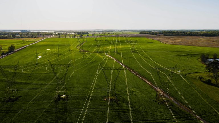
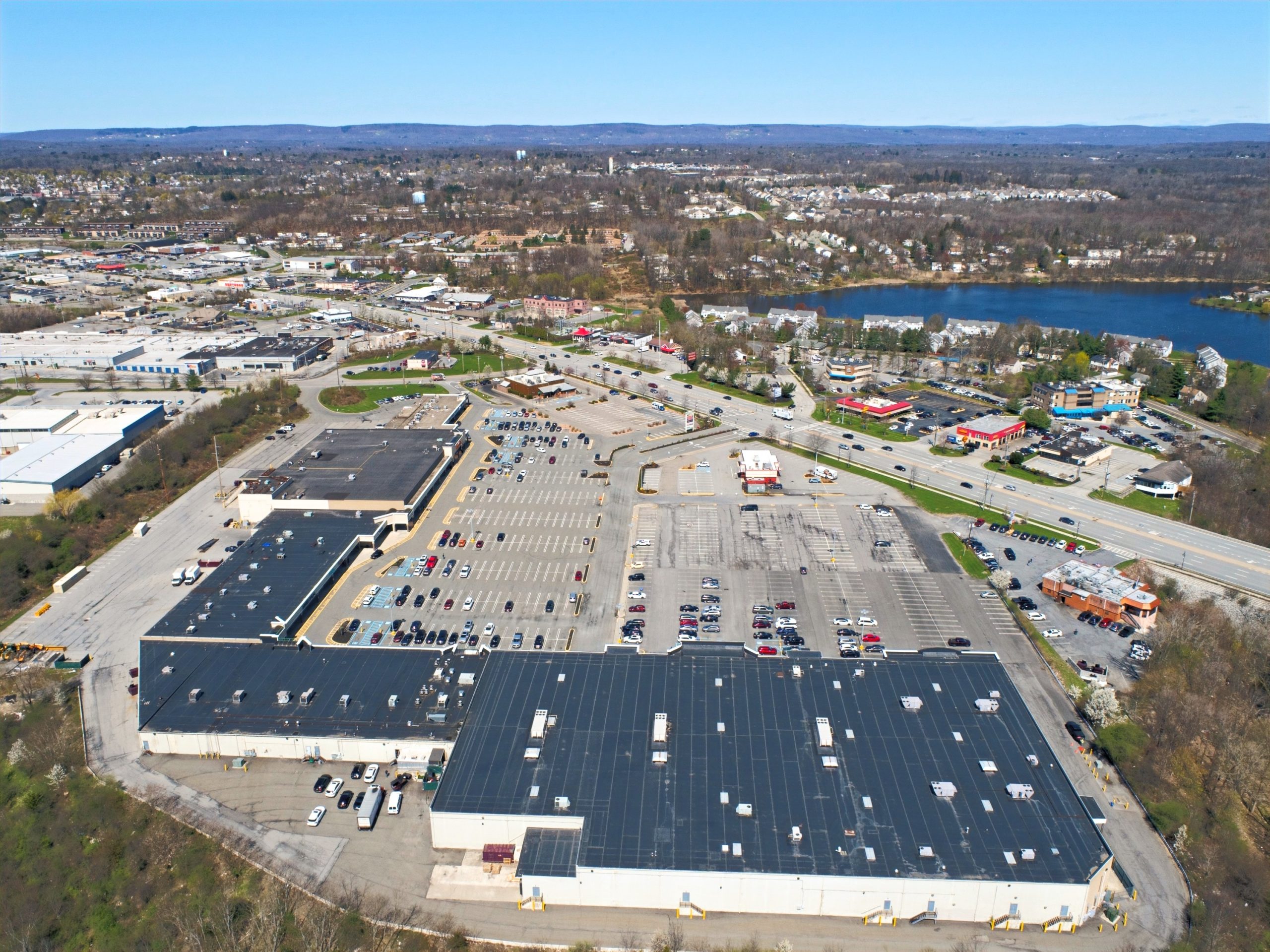
When you need to see the whole picture, nothing beats a shot from above.
We’ll explain how getting a bird’s-eye view helps track every step of a construction job.
Benefits of Construction Progress Aerial Documentation
Flying drones over construction jobs for aerial photos brings many wins.
1. Project Monitoring
From high above, drones give project managers a complete picture.
They can easily track progress across the entire site.
They can readily identify potential issues, bottlenecks, or delays related to specific areas that might be missed during ground-level inspections.
2. Enhanced Safety
Safety is a top priority on any construction site. Looking at a site from the air boosts safety.
It helps spot dangers without putting anyone at risk.
Drones can inspect difficult-to-reach locations, unstable structures, or physically access hazardous areas that would otherwise pose a risk to human inspectors.
This powerful way of handling safety means we can prevent crashes, reduce injuries, and truly save lives.
3. Time and Cost Savings
Traditional methods for site inspections are often time-consuming, labor-intensive, and can disrupt the construction schedule.
When you use drones for aerial views, the work gets done automatically and way quicker.
Cutting down on how long we spend checking things by hand means our skilled crew can put all their energy into the real work of putting structures together.
Over the life cycle of a construction project, these efficiencies compound, leading to significant cost reductions.
4. Enhanced Communication and Collaboration
High-quality aerial imagery and visual data improve communication among project teams, stakeholders, and clients.
Clear site photos and maps enable us to easily discuss project status, identify issues, and collaborate on solutions.
Getting on the same page eliminates confusion.
Many building firms utilize impressive drone shots and videos to capture attention.
They share these on social media and in advertisements to showcase their work.
This showcases their achievements and how they apply new technology, while also cultivating sustained interest among a broad audience regarding the project’s evolution.
5. Comprehensive Project Documentation

Aerial documentation creates an exhaustive and easily accessible archive of project documentation.
From the first shovel to the final nail, our collection of pictures, videos, and sensor data documents the construction project’s entire past.
Having these thorough pictures will help when you need to look back later.
Such comprehensive project documentation is also extremely useful for dispute resolution, quality control verification, and as-built records.
If questions pop up about the quality of work, where materials ended up, or what the site looked like at a specific moment, those aerial pictures offer solid proof.
How Construction Progress Aerial Documentation Works
Understanding the workflow of construction progress aerial documentation helps appreciate its efficiency and the quality of data it produces.
Step 1: Flight Planning
Before any drone flights commence, meticulous planning is performed. Before takeoff, we define the exact survey boundaries.
Then, we plot a safe flight path around any obstacles. We also make sure to follow all local air traffic rules and restricted areas.
Safety and data quality are primary concerns during this planning phase.
The flight plan dictates which specific areas of the construction site will be captured and from what altitudes and vantage points.
Obtaining complete aerial views and consistent images for comparison requires a strong plan.
This plan often considers factors such as sun angle for optimal shot capture and specific data requirements for project documentation.
Step 2: Data Capture
Once the flight plan is finalized and pre-flight checks are complete, the drone is launched.
Following its programmed path on its own, the drone’s smart sensors pull in tons of data: super clear photos, video, and specific environmental readings.
The drone expert may also perform manual flights for particular inspection tasks.
Modern drones used for construction progress monitoring are capable of capturing incredibly detailed aerial photos, high-definition aerial footage, thermal imagery, and even complex 3D mapping data through techniques like photogrammetry or LiDAR.
Step 3: Data Processing
After the drone flight is completed and the raw data is retrieved, it undergoes processing.
From thousands of aerial photos, we sort through the raw data and then carefully piece them all together.
This lets us build big, flat maps, stunning wide-angle views, or even very exact 3D models and point clouds.
This is where the actual value of the aerial imagery begins to emerge.
Step 4: Analysis and Reporting

The processed data is then meticulously analyzed to track project progress, identify discrepancies from plans, quantify volumes of stored materials, and generate comprehensive reports.
They include annotated aerial photos showing progress, changes in visuals over time, precise numbers, and a full summary of site conditions.
Challenges and Considerations When Implementing Drones
While construction progresses, aerial documentation and implementation drones offer substantial advantages, there are challenges and considerations that construction companies must address.
1. Regulatory Compliance
Drone operations are governed by aviation regulations that vary by country and locality.
You’ll find rules on your flying height, staying clear of airports, operating above people, and pilot licenses.
Since these rules get updated regularly, staying current means you’re always looking for new developments.
Any construction firm or drone operator absolutely must keep up with local and federal rules, get all the proper paperwork, and run their business safely.
2. Weather Constraints
Drones are inherently susceptible to weather conditions.
High winds, heavy rain, snow, fog, or extreme temperatures can make drone flights unsafe or impossible, potentially disrupting scheduled progress documentation.
This can impact the regularity of progress monitoring.
Project managers should always consider how bad weather might slow down data collection and prepare backup plans.
While some advanced drones have improved weather resistance, conditions on a project site can change rapidly.
Stay loose with your plans. And seriously, know what the weather’s doing around here.
3. Data Management
Flying drones over big construction sites gathers a ton of visual information: super clear photos, videos, and 3D maps.
Handling all that visual information, from organizing it to keeping it safe, turns into a huge task.
Construction firms must manage their project data well.
This means clear steps for handling information and secure places to keep it, online or on their own servers.
Maintaining honest data, allowing only authorized staff access, and fending off digital attacks are top concerns for any system.
4. Privacy Concerns

Capturing aerial photos and footage, especially in urban or populated areas, can inadvertently raise privacy concerns regarding neighboring properties or individuals.
When you send a drone into the sky, remember to act fairly.
Always respect personal space and consider how your actions might be perceived by others.
To ease worries, tell your neighbors, nearby property owners, and the public precisely what your drones are doing.
Implementing privacy-enhancing measures, such as blurring faces or avoiding direct overflight of private areas where possible, can help maintain good community relations.
Responsible data handling is also part of addressing privacy.
5. Initial Investment and Skill Requirements
Setting up an in-house drone program involves an initial investment in drones, sensors, drone software, and training for personnel to become drone experts.
While the long-term benefits often outweigh these costs, the upfront expenditure can be a consideration for some construction companies.
Hiring drone service providers can mitigate this initial outlay.
Hiring Drone Service Providers for Your Construction Project
For many construction companies, partnering with professional drone service providers is a practical and efficient way to implement aerial documentation.
Hiring drone service experts can provide access to the latest technology and skilled personnel without the need for significant upfront investment.
With this method, builders are free to pour all their energy into the actual hands-on construction.
When selecting a drone service provider, it’s essential to evaluate their experience specifically within the construction industry.
Consider a vendor whose personnel understand the practicalities of a construction setting, including precise project oversight and rigorous adherence to safety regulations.
A proven track record with similar construction projects is highly beneficial.
Before engaging a drone service, verify their regulatory compliance, including licensure and liability coverage.
Assess the specifications of their aerial platforms and their proficiency in data management.
Request example reports and professional references.
It’s crucial to understand their safety protocols and whether they adhere to flight regulations.
This ensures the safety of both your construction business and the project location.
The Future of Construction Progress Aerial Documentation
Cutting-edge technology is quickly pushing forward how we capture construction site progress from the air.
Remarkable new developments are on the way, ready to make it much stronger and completely rethink how we build.
1. AI and Machine Learning Integration

Artificial intelligence (AI) and machine learning (ML) are increasingly being integrated into drone software platforms for analyzing aerial data.
AI can spot items, catch shifts, follow project timelines, and even flag upcoming problems right there on the job site.
You’ll get through mountains of information in record time using this system.
2. Deeper Integration with BIM and Digital Twins
Building Information Modeling (BIM) is a foundational technology in modern construction.
The integration of aerial documentation data, such as point clouds and 3D models, with BIM models is becoming more seamless and powerful.
This creates a dynamic link between the planned design and the as-built reality.
The concept of “digital twins” – a living digital replica of the physical construction project – is advanced by this integration, enabling better project management throughout the entire life cycle.
3. Advanced Sensors and Payloads
The development of new and more sophisticated sensors that capture an even wider range of data is ongoing. Soon, drones could do much more than just deliver packages.
Picture them equipped to test the air, listen for loud sounds, or find gas leaks.
They might even use special radar to see precisely what’s under the ground. You’ll see every detail of the work site with these sensors.
4. Drone-in-a-Box Systems
‘Drone-in-a-Box‘ setups are making drone operations more straightforward.
They handle regular inspections and monitor project progress independently.
These systems involve a drone housed in a protective, self-charging base station permanently located on the construction site.
The drone can be deployed automatically on pre-programmed schedules or on demand.
DIAB solutions could make regular aerial data capture even more frequent and cost-effective, providing near real-time updates on site progress without requiring a pilot to be physically present for every flight.
Conclusion
Aerial imaging significantly elevates job site safety and operational flow.
It provides comprehensive visual evidence for tracking construction progress and creates thorough project archives.
Consequently, this technology quickly establishes itself as a core element of contemporary construction oversight.
Expect drones to play a significantly larger role in project completion.
Their improving technology, software, and data-crunching power will make them increasingly essential.