Drone Monitoring vs Manual Checks for Construction Sites
Quick Summary
Drone monitoring catches construction errors and safety issues early because each flight records the site as it actually stands that day. Software compares that data against the design or previous surveys, so grading errors and hazards surface while they are still cheap to fix. Drone data also measures planned versus actual progress, turning vague delay reports into numbers the team can act on.
- Progress reports show what someone believes happened, while drone data shows what actually happened.
- Drone data can flag grading errors early, which saved one client thousands of dollars.
- Drones can spot unprotected edges, blocked egress and unstable spoil piles without anyone climbing.
- Progress tracking compares percent complete and schedule variance against the baseline for each date.
- Drone imagery supplements an inspection; it does not replace it.
Table of Contents
- Why Early Error Detection Matters More Than Progress Reports
- How Drone Monitoring Works on an Active Site
- Drone Survey Accuracy for Earthworks: What the Numbers Show
- Automated Construction Progress Tracking: Planned vs. Actual
- Construction Site Safety Monitoring with Drones
- Drone Mapping for Construction Planning and Trade-offs
- Choosing a Monitoring Workflow and Requesting a Quote from SkyeTech Aerial
- Frequently Asked Questions
Drone Monitoring vs Manual Checks for Construction Sites
Last Updated: October 28, 2026
Why Early Error Detection Matters More Than Progress Reports
Most construction teams find problems late: a grading error surfaces when the next trade mobilizes, a safety gap after someone nearly falls. It is rarely a lack of effort. It is a lack of timely, accurate visibility.
Progress reports tell you what someone believes happened. Early error detection tells you what actually happened, while there is still time to fix it cheaply.
One of our clients put it plainly: SkyeTech gave them images detailed enough to spot grading errors early, which saved them thousands.
Drone monitoring and manual checks share a goal but reach it differently. Below, we compare them, explain where each fails, and offer a practical way to choose.
How Drone Monitoring Works on an Active Site
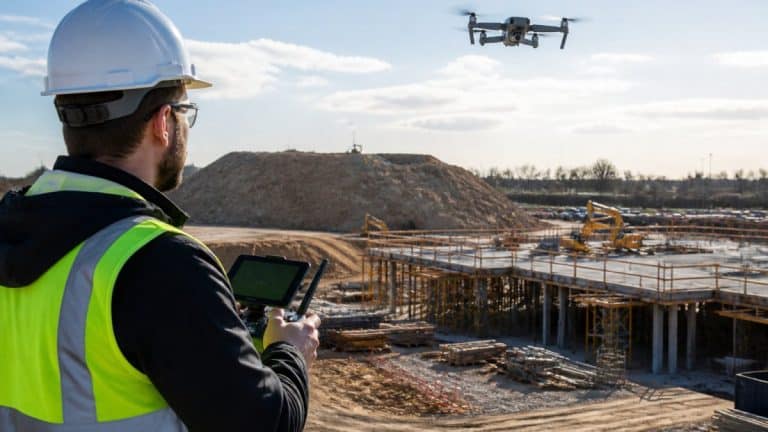
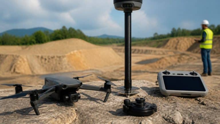
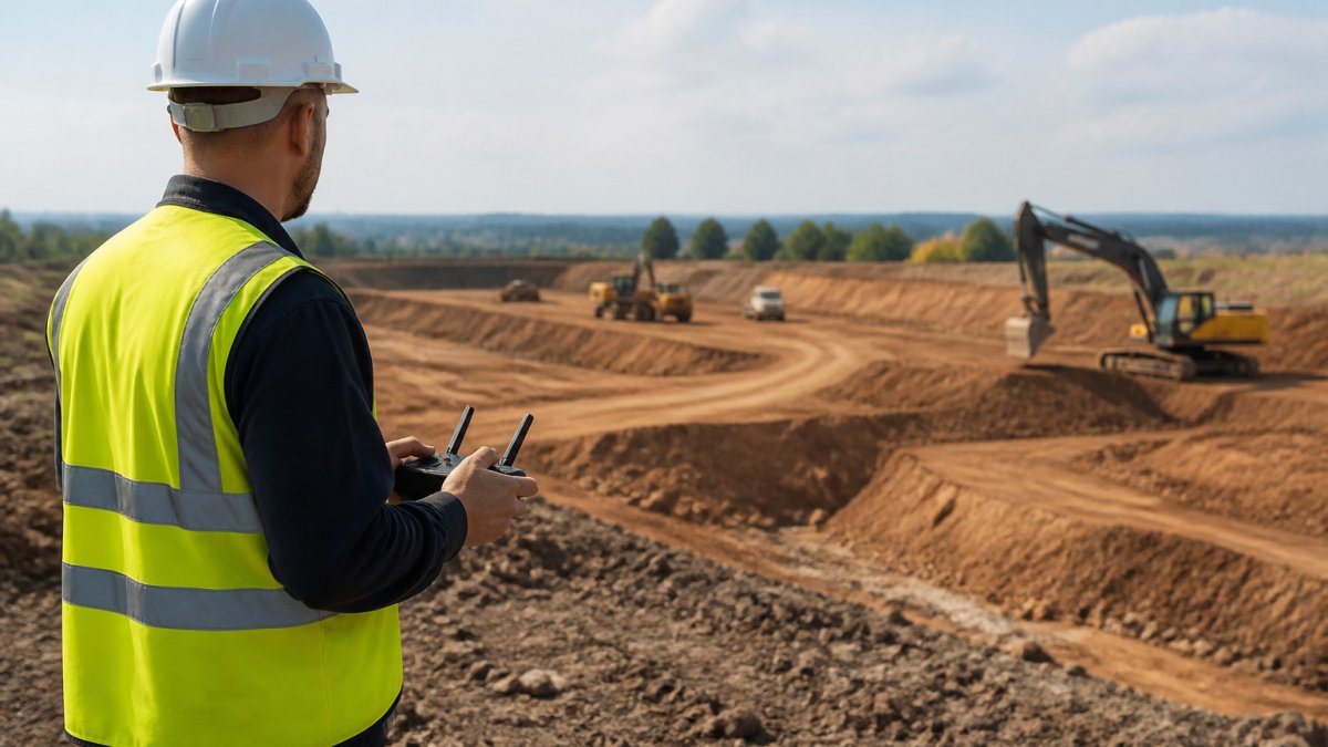
A drone monitoring program can fly the same site on a repeatable schedule. Each flight can capture photographs or LiDAR returns. Software can then process that data into orthomosaics and 3D models that show the site as it stands that day.
The process has three stages: the imagery is processed into a model, and the team compares that model against the design or previous survey.
Changes can be measured in the data. A stockpile that grew by a truckload or a slab a few inches out of tolerance shows up in the data, not in someone’s memory.
Drone Survey Accuracy for Earthworks: What the Numbers Show
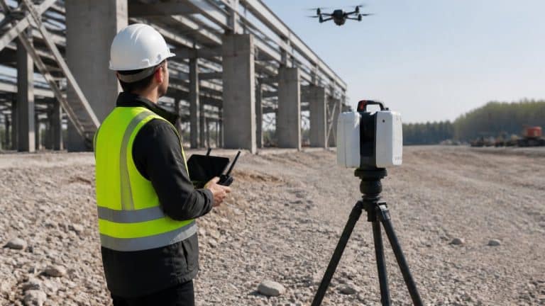
SkyeTech Aerial uses drone photogrammetry and LiDAR to deliver centimeter-level accuracy.
Accuracy depends on ground control points, flight altitude, image overlap, and processing quality.
Where Manual Surveys Miss Grading Errors
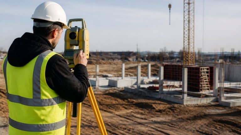
Manual surveys sample the site.
Drone data can show surface variations in the model. This is where early error detection earns its value.
Manual methods still have a place. Spot checks at critical elevations remain good practice.
Automated Construction Progress Tracking: Planned vs. Actual
Progress tracking compares planned work against actual work. Baselines define what should be complete by a given date; drone data can show what is physically in place.
A repeatable way to capture actual progress and compare it can help connect early error detection and progress tracking.
The Automated Progress Tracking Workflow
- Capture. A drone can capture site data on a schedule. Inconsistent capture can make change detection unreliable.
- Process. Imagery can be processed into an orthomosaic or 3D model.
- Compare. The model is overlaid on the design surface or the previous survey. Elevation differences, missing elements, and completed work are measured against the baseline rather than estimated from memory.
- Score. Each work item gets a status: complete, in progress, behind, or blocked. This is where planned-versus-actual becomes a number instead of a narrative.
- Alert and assign. Items that cross a threshold trigger a notification to a named owner with a due date. The failure mode is alerting everyone, which trains the team to ignore alerts.
Metrics and Alert Thresholds That Trigger Action
A practical set of progress-tracking measures includes:
- Percent complete by work item, compared with the baseline for that date. A common pattern is to flag any item more than one reporting cycle behind plan.
- Schedule variance in days, which turns a vague “behind” into a number the team can plan around.
- Elevation tolerance, such as a grading surface outside the design tolerance, which is an early error detection signal rather than a schedule signal.
- Quantity variance, where measured cut, fill, or stockpile volume differs from the planned quantity by more than an agreed margin.
- Open corrective actions past due, which catches the case where a problem was identified but never closed.
Integrations and Reducing Manual Status Updates
The value of automation is the manual status update it removes. Drone outputs can feed project management and scheduling systems so the planned-versus-actual view updates without someone retyping percentages.
Best for:
Trade-offs and Failure Modes
The fix is to pair the progress platform with drone data and a small set of thresholds. The platform manages the schedule and workflow; the drone supplies the physical evidence that keeps the schedule honest. Neither replaces the other, and together they make the planned-versus-actual view trustworthy over the life of a project. Consistent data collection often requires the specialized expertise found when hiring a drone photographer to ensure that every flight captures the precise angles necessary for accurate site analysis.
The article lists the progress-tracking measures a team can set up to turn planned-versus-actual into something it can act on:
| Measure | What it flags | Why it matters |
|---|---|---|
| Percent complete by work item | Items more than one reporting cycle behind plan | Compares each item with its baseline for that date |
| Schedule variance in days | Drift from the planned timeline | Turns “behind” into a number |
| Elevation tolerance | Grading surface outside design tolerance | Early error detection signal, not a schedule signal |
| Quantity variance | Cut, fill or stockpile volume off plan | Flags differences beyond an agreed margin |
| Open corrective actions past due | Identified problems never closed | Catches issues that were found but not fixed |
Construction Site Safety Monitoring with Drones
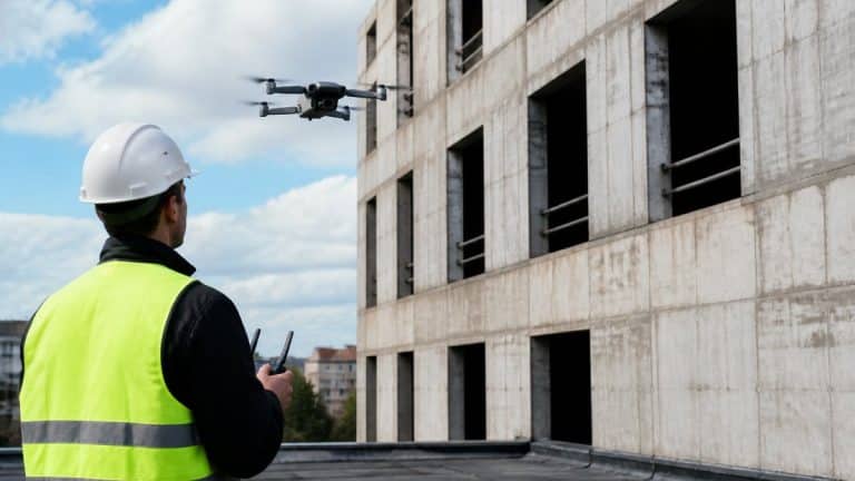
Drones can let a team inspect areas that would otherwise require a person to climb, lean out, or walk a trench edge. SkyeTech Aerial helps clients safely inspect hard-to-reach assets without ladders or lifts.
Unprotected edges, missing guardrails, blocked egress, and unstable spoil piles may be visible from the air.
Safety Leading Indicators You Can See from the Air
A drone model may show site conditions such as:
- Fall protection gaps on roofs, elevated decks, and open edges, where guardrails or covers are missing.
- Housekeeping and egress problems, such as blocked walkways, material piled in exit routes, or unmarked openings.
- Excavation and trench conditions, including spoil piles set too close to the edge or access ladders missing.
- Struck-by exposure, where equipment paths cross worker walkways or where materials are staged under lifting zones.
- Fire and electrical exposure, such as temporary power runs near combustible storage.
Safety Thresholds and Escalation
The escalation path should be written before the first flight. Name the safety manager as the reviewer, name the superintendent as the person who receives stop-work findings, and define what happens when a finding is not closed by its due date. Without that path, drone safety imagery becomes a folder of photos that no one acts on.
Drone imagery supplements an inspection; it does not replace it.
Where Safety and Progress Tracking Meet
That is the practical answer to the early-detection-versus-progress-tracking question. They are not competing methods. Early detection catches the condition before it becomes an incident or a rework cost, and progress tracking catches the drift before it becomes a delay. A drone program that serves both is cheaper than two programs that serve one each.
Drone Mapping for Construction Planning and Trade-offs
Drone mapping supports planning as well as monitoring. Orthomosaics and site analytics can support project planning. Volumetric measurements can help calculate site volumes and measure stockpiles.
The question is which method gives you enough coverage, accuracy, and timeliness for the decision in front of you.
Choosing a Monitoring Workflow and Requesting a Quote from SkyeTech Aerial
Start by listing the decisions your team makes each week. If they depend on knowing the actual condition of earthwork or stockpiles, drone data can support those decisions.
Finally, discuss your project requirements with SkyeTech Aerial.
Pricing depends on project requirements, so request a quote for current pricing. Request a free quote from SkyeTech Aerial to get an estimate tied to your project. For a deeper look at tracking planned against actual progress, read our step-by-step guide to planning and tracking construction progress.
Frequently Asked Questions
How can drone monitoring help identify construction errors early?
Drone surveys can provide 3D models and orthomosaics for project teams. SkyeTech Aerial uses photogrammetry and LiDAR to deliver centimeter-level accuracy.
Can drones detect safety issues on a construction site?
SkyeTech Aerial helps clients safely inspect hard-to-reach assets without ladders or lifts. Drone imagery does not replace on-site safety inspections.
How often should a construction site be surveyed with a drone?
Survey cadence depends on project requirements. Request a quote from SkyeTech Aerial for current pricing.