How to Find and Hire a Drone Mapping Service Near You
Quick Summary
To find a drone mapping service near you, define the outputs your project needs, confirm the pilot holds an FAA Part 107 certificate and carries liability insurance, and compare written quotes built on the same scope. Ask each provider for a specific accuracy target and a checkpoint report before signing.
- Define the decisions the data must support before requesting quotes.
- Ask providers for a Part 107 certificate and proof of liability insurance.
- Give every provider the same written scope: boundary, outputs, accuracy, timeline.
- Ask for a specific accuracy figure and a checkpoint report from ground control.
- Confirm file formats and coordinate systems match your engineers’ software.
Table of Contents
- What Drone Mapping Delivers for Construction and Land Projects
- Step 1: Define the Project Outputs You Need
- Step 2: Compare Drone Photogrammetry vs LiDAR for Your Site
- Step 3: Verify FAA Part 107 Requirements and Insurance
- Step 4: Estimate Drone Mapping Cost Per Acre and Request Quotes
- Step 5: Check Accuracy Claims and Data Delivery Before You Sign
- Booking Your First Drone Mapping Flight With SkyeTech Aerial
- Frequently Asked Questions
What Drone Mapping Delivers for Construction and Land Projects
Last Updated: November 10, 2026
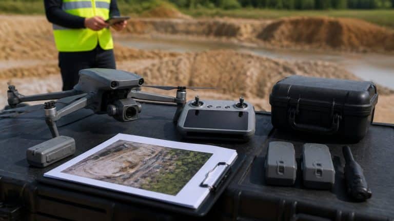
Finding a drone mapping service near you is easier when you know what the finished data should look like before you call anyone. SkyeTech Aerial builds high-precision imagery and data products for construction, infrastructure and land projects, including orthomosaics and 3D models. Those outputs let project teams check progress, measure volumes and catch grading errors that are easy to miss from the ground.
Drone mapping is the process of flying a UAS over a site, capturing overlapping images or laser returns, and processing them into measurable maps and models. The result is a georeferenced dataset that a project team can measure, compare over time and share with engineers and subcontractors.
Most construction and land projects use drone data for a handful of recurring jobs:
- Tracking earthwork and progress against the plan
- Calculating stockpile and cut-and-fill volumes
- Checking subcontractor work against the design
- Producing topographic maps for site planning
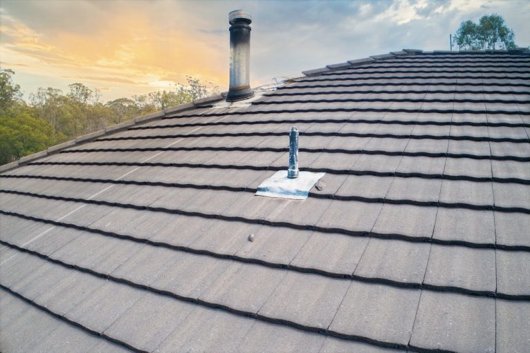
- Inspecting hard-to-reach assets such as roofs and elevated structures
The value depends on whether the output matches the decision you need to make. A pilot who delivers beautiful images but no usable elevation data has not solved your problem. Use the steps below to define that need first, then compare providers against it.
Step 1: Define the Project Outputs You Need
Start by listing the decisions the data must support. A grading crew needs a current surface model. A project manager needs a progress orthomosaic. A civil engineer needs survey-grade elevation data with known accuracy.
Write down the following before you request quotes:
| Output | Typical use | Questions to ask |
|---|---|---|
| Orthomosaic | Progress photos, site overview | How often will it be updated? |
| 3D model | Visual review, stakeholder reports | Does it need true-scale measurements? |
| Point cloud | Volumes, elevation analysis | What density and classification are required? |
| Contour map | Grading and drainage design | What contour interval do engineers need? |
A common mistake is ordering the most detailed product by default. Higher detail costs more and takes longer to process. If your weekly progress meeting only needs an orthomosaic, a point cloud adds expense without changing the decision. Be specific about outputs, and ask providers which deliverables are included in their base price.
Step 2: Compare Drone Photogrammetry vs LiDAR for Your Site
Photogrammetry and LiDAR are the two main ways drones capture site data. Photogrammetry builds 3D models and orthomosaics from overlapping photos and works well on open sites with visible ground features. LiDAR uses laser pulses to measure distance directly.
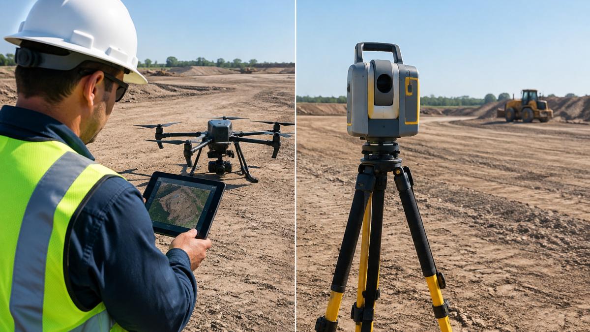
Choose based on site conditions rather than marketing claims:
- Open, bare-earth sites with good texture: photogrammetry is usually sufficient and cheaper
Ask any provider which sensor they will use, why, and how they will verify accuracy. For a deeper look at how these methods are processed, see USGS 3D Elevation Program overview.
Step 3: Verify FAA Part 107 Requirements and Insurance
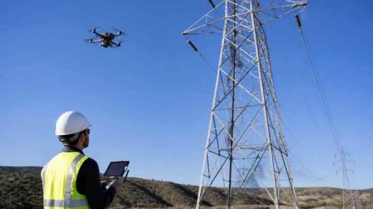
Commercial drone mapping in the United States requires the pilot to hold an FAA Part 107 remote pilot certificate. Operators must follow airspace rules, obtain any required authorizations, and keep the aircraft within the conditions the certificate allows. Confirm these points with every provider before you sign.
Ask for the following documentation:
- A copy of the pilot’s Part 107 certificate
- Proof of general liability insurance, with a certificate naming your company as additional insured where appropriate
- The company’s procedures for airspace checks, flight planning and site safety briefings
- Confirmation that the flight will be conducted under Part 107 operating rules
Your own insurance team may have specific requirements for adding drone operations to a site. Share them early so the provider can meet them. You can review the official rules at FAA Part 107 small unmanned aircraft rules.
Step 4: Estimate Drone Mapping Cost Per Acre and Request Quotes
Drone mapping pricing depends on quantity, dates, and delivery. Our guide walks through each cost driver so you can compare quotes on equal terms. You can budget more effectively by understanding the cost drivers and how they interact, so you can compare quotes on equal terms.
The biggest driver is site area, but cost does not scale linearly with acreage. Complexity such as buildings, trees and active equipment can require more flight planning, more ground control, and more processing time.
Other cost drivers include:
- Accuracy target: Survey-grade deliverables that require ground control points or RTK/PPK workflows take more field time and processing than visual-only orthomosaics.
- Output type: A single orthomosaic is cheaper than a classified point cloud, contour map, and 3D model delivered together.
- Revisit schedule: One flight is cheaper than weekly or monthly monitoring, but recurring flights often lower the per-flight price.
- Turnaround time: Rush delivery usually adds a premium.
- Travel distance: Providers may charge for travel beyond a certain radius, and remote sites can add mobilization costs.
- Site access and safety: Sites near airports, schools, or restricted airspace require additional coordination and may need FAA authorizations that add time.
Ask each provider to break out line items so you can see what is included and what is not.
When you request quotes, give every provider the same written scope: site boundary, acreage, required outputs, accuracy target, delivery format, and timeline. Ask them to quote the same scope and to list any assumptions. A quote that is far below the others often leaves out processing, ground control, or revisits, which can make the final invoice much higher than the initial number.
Insist on a written scope with deliverables and assumptions before you compare quotes.
For a broader look at how drone mapping costs are structured, consult Drone mapping cost factors overview.
Step 5: Check Accuracy Claims and Data Delivery Before You Sign
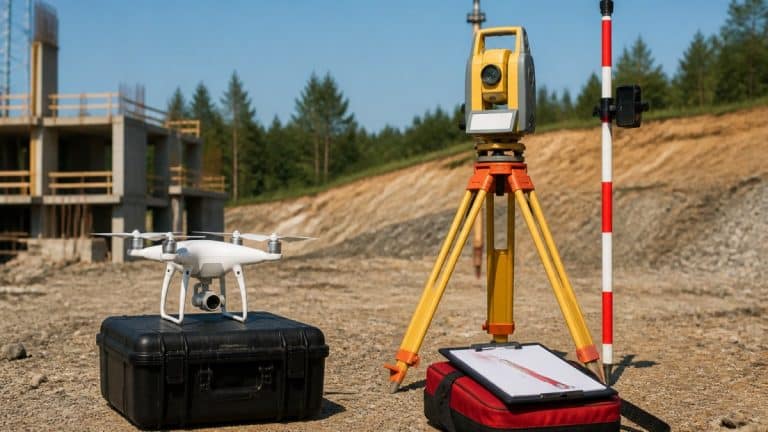
“High accuracy” means nothing until the provider defines it. Ask for a specific target, such as a horizontal and vertical accuracy figure in feet or centimeters, and ask how it will be verified. Good providers use ground control points surveyed with GNSS equipment and report checkpoint results.
Accuracy and precision are not the same thing. Learn practical ways to improve and verify drone mapping accuracy to see how these checks work in practice. Precision means the data is repeatable and consistent. Accuracy means the data matches true ground positions. A model can be precise but inaccurate if it is offset from the real world. Ask for both figures and for the checkpoint report that shows how the provider verified them.
The mechanism behind professional accuracy is ground control. Ground control points (GCPs) are targets placed on the site and surveyed with GNSS equipment to known coordinates. See how LiDAR point clouds are processed for construction projects to understand how elevation data is built from raw returns. The processing software uses those points to tie the drone data to the real world.
Ask which positioning method the provider uses and how they confirm the result.
Confirm the delivery details as well:
- Which file formats you will receive, such as GeoTIFF, LAS or LAZ, and OBJ or other 3D formats
- Whether the data will be in a coordinate system your engineers use
- How long processing takes after each flight
- Whether you get raw imagery in addition to processed products
- Whether the provider includes a checkpoint report with each deliverable
A provider who cannot produce a checkpoint report or explain their ground control workflow may not be delivering survey-grade data.
If your project requires integration with CAD, BIM, or GIS software, ask the provider how they handle coordinate systems and file compatibility before you sign. A deliverable that cannot be imported into your design software creates rework, not value.
Booking Your First Drone Mapping Flight With SkyeTech Aerial
Once you have defined your outputs, compared sensors, verified credentials and collected quotes, you are ready to book. SkyeTech Aerial’s pilots are FAA-certified, flights follow FAA Part 107 standards, and operations are fully insured. The team works with platforms such as DroneDeploy, Pix4D and DJI Terra, and it can deliver centimeter-level accuracy using photogrammetry and LiDAR. Clients use this data to plan smarter, verify subcontractor work and calculate site volumes.
Sarah T., Lead Construction Manager, described the result this way: “SkyeTech Aerial has revolutionized our project monitoring. The drone data is precise and delivered incredibly fast.” Amanda F. of Power Communications noted that highly detailed images helped her team spot grading errors early.
For your first project, send the outputs, site boundary and timeline you defined in Step 1. Ask for a written scope with the accuracy target and delivery schedule. Request a free quote to start the process, or learn more about our team and credentials before you decide.
Frequently Asked Questions
How much does a drone survey cost?
Drone survey pricing depends on acreage, flight area, required deliverables, accuracy level, turnaround time and how many site visits you need. Pricing is quoted per project, so the most reliable way to compare costs is to request written quotes that list each deliverable separately. Ask whether the quote includes data processing, orthomosaic and 3D model creation, and any elevation or volume calculations. For current pricing specific to your site, contact SkyeTech Aerial directly for a free quote.
Does a drone mapping pilot need a license in the United States?
Yes. Commercial drone operations in the United States generally require the pilot to hold an FAA Remote Pilot Certificate under 14 CFR Part 107. The pilot must pass the aeronautical knowledge test and keep the certificate current. Before hiring a provider, ask for the pilot’s certificate number and confirm that the company also carries liability insurance for the operation. Flights over people, at night or beyond visual line of sight can require additional approvals, so ask how the provider handles those conditions on your site.
What is the difference between photogrammetry and LiDAR for drone mapping?
Photogrammetry builds 3D models and orthomosaics by stitching together overlapping photographs, which works well for progress tracking, visual inspections and general site maps. LiDAR emits laser pulses to measure distances directly, so it can capture ground elevation under dense vegetation and produce dense point clouds for terrain modeling. Photogrammetry is usually the more economical choice for routine progress monitoring, while LiDAR is the better fit when vegetation or accuracy requirements call for it.
How do I verify the accuracy of drone mapping data?
Ask the provider how they establish ground control, whether they use RTK or PPK positioning, and what accuracy they can commit to in writing. Request a sample deliverable and check it against surveyed control points or known features on your site. Confirm which file formats you will receive, such as georeferenced orthomosaics, point clouds and digital elevation models, so they can be loaded into your GIS or project management software. Written accuracy statements tied to a specific method give you something concrete to hold the provider to.