Drone Volumetrics for Earthwork Sites: A Guide
You’re standing at the edge of your site, looking at massive piles of dirt and rock. You need to know exactly how much material there is. Getting it wrong costs you big time, but the old way of measuring takes forever and puts your crew at risk.
This is where new technology steps in to make your job a lot easier. Using drones for volume measurements is changing how earthwork projects get done.
It’s not just a fancy gadget; it’s a powerful tool for reliable volumetric data. This tool gives you the accurate data you need to stay on budget and ahead of schedule. So, lets explore how drone volumetrics for earthwork sites can work for you.
What Exactly Are Volumetric Calculations?
Simply put, volumetric calculations measure a three-dimensional space. Think about a stockpile of sand; volumetric measurement tells you exactly how much sand is in that pile. This process is fundamental to managing resources on any job site.
On an earthwork site, this is critical for daily operations. You are constantly moving dirt, gravel, or other materials, creating stockpiles that represent valuable assets.
You need to know the stockpile volume for inventory, or how much earth needs to be moved for a cut-and-fill operation.
Accurate numbers here affect everything from logistics to your financial statements.
A precise volume calculation influences how you bid on a job, track your progress, and manage your assets. Without solid stockpile measurements, you are essentially just guessing.
The Old Way vs. The New Drone Way
For many years, measuring stockpile volumes was a manual, boots-on-the-ground job. While this method of land surveying worked, it was far from perfect. Now, we have a much better way to gather data and perform volume calculations.
Traditional Methods: Slow and Sometimes Risky
The traditional approach required a survey crew to walk the entire site with equipment like total stations or GPS rovers. They would take measurement points across each stockpile to create a rough model. This data collection method was time-consuming and labor-intensive.
This process often takes days for a large site, creating a bottleneck for project managers. It also exposed surveyors to job site dangers, impacting situational awareness. Climbing unstable stockpiles or working near heavy machinery can lead to serious accidents.
Furthermore, manual measurements are prone to human error, and access to the entire surface of a pile is not always possible. Weather conditions could also cause significant delays. A few days of rain could push your survey back a week, disrupting your entire project timeline.
Enter the Drone: Fast, Safe, and Accurate
Now, picture a small, unmanned aerial vehicle flying over your site in a pre-planned grid pattern.
The drone survey can cover acres of land in a fraction of the time it would take a person to walk it. This modern approach to data acquisition transforms the entire process.
The drone captures hundreds of high-resolution, overlapping images from above. Specialized mapping software then pieces those images together like a complex digital puzzle. The final result is a highly detailed and measurable 3D model of your entire property.
From that model, we can perform stockpile volume calculations with precision. This drone-based volumetric method is not only faster but also much safer and more accurate than manual measurements.
Choosing the Right Technology: Photogrammetry vs. LiDAR
When it comes to capturing aerial data, drones primarily use one of two technologies: photogrammetry or LiDAR.
Both can produce accurate point clouds, but they work differently and are suited for different tasks. Understanding the distinction helps in selecting the right tool for your project.
Photogrammetry involves taking many overlapping photos and using software to stitch them together into a 3D model.
Drones capture images that are then processed to create a point cloud and other surface models. This method is cost-effective and produces visually rich, full-color models of your site.
LiDAR, which stands for Light Detection and Ranging, works differently. A LiDAR scanner sends out thousands of laser pulses every second and measures how long they take to return.
This technique is excellent for creating a dense point cloud, especially in areas with dense vegetation, as the laser pulses can penetrate the canopy to map the ground beneath.
What Industries in the Northeast Benefit Most?
Across the Northeast, from Connecticut to New Hampshire, businesses are using drone technology.
Certain industries find it particularly useful for their day-to-day operations. Here’s a look at who is getting the most out of drone-based volumetric analysis.
Construction
For any large construction project, managing earthworks is a major task. Drone data helps project managers track cut and fill balances with amazing precision. This prevents disputes with subcontractors and makes sure the project stays on track financially.
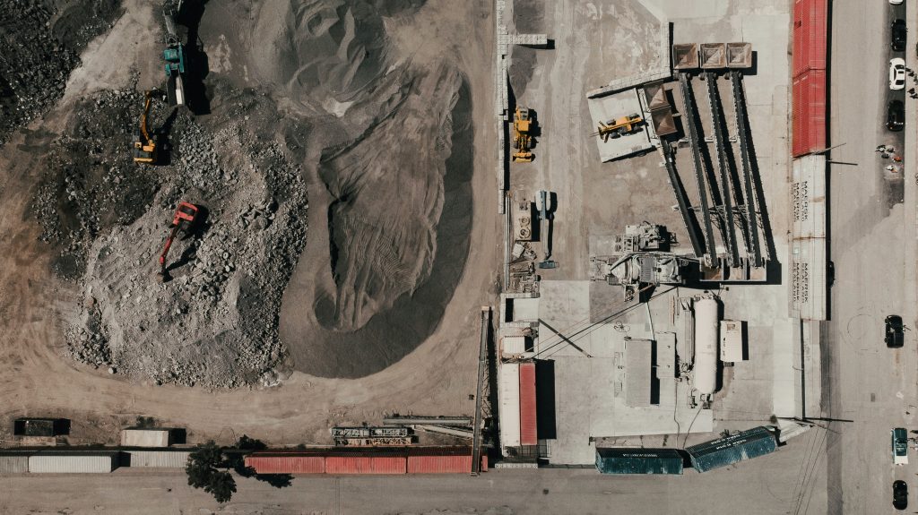
Aggregates
If you run a quarry or a sand and gravel pit, inventory is everything. Knowing exactly how much product you have on the ground is vital for sales and financial reporting. Drones offer a much more efficient way to conduct monthly or quarterly stockpile measurement audits.
Agriculture
Farmers are also finding uses for drone volumetric measurements. They can measure compost piles, silage pits, or other materials with ease. The technology can also be used for land-leveling projects to improve irrigation and drainage across fields.
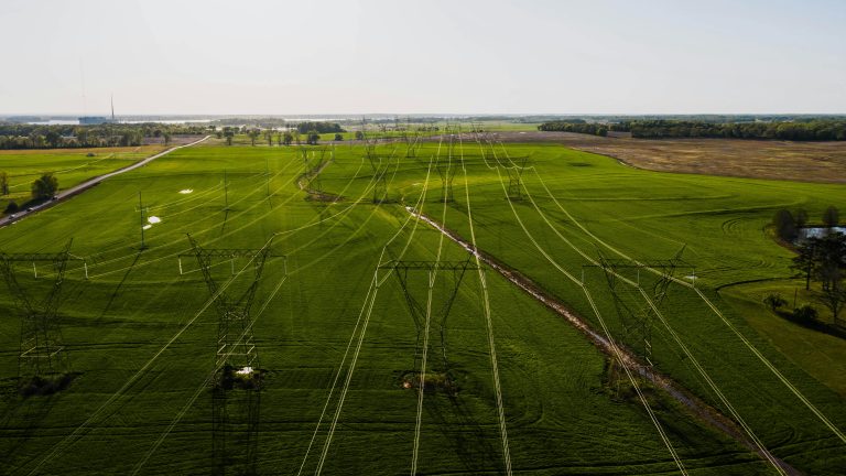
Infrastructure and Energy
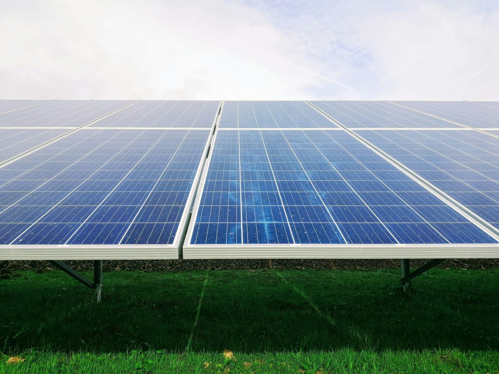
Large-scale projects like building new roads or preparing a site for a solar farm involve moving massive amounts of earth. Drone surveys help keep these huge projects on schedule. Managers receive frequent updates to oversee progress and manage resources effectively.
Common Questions About Drone Surveys
It’s normal to have questions when considering a new way of doing things. Many people wonder about accuracy, data security, and practical limitations. Let’s tackle a few of the most common ones we hear about drone surveying.
How accurate is it, really?
This is the most frequent question, and for a good reason. With GCPs, you can expect accuracy to be very high, often within a few percent of manual measurements.
Technology like RTK drones, such as some DJI drones, can increase this accuracy further by providing real-time corrections during flight.
The result is data you can trust for important financial decisions. The final measurements refer to a precise, verifiable digital surface model. This level of detail was previously unachievable without significant time and expense.
What about bad weather in our region?
We know New England weather can be unpredictable. Drones cannot fly in high winds, heavy rain, or snow. However, a drone flight for data acquisition is very quick.
Instead of needing two or three clear days for a ground survey, we only need a window of a few good hours. This makes it much easier to schedule the work and get it done. It minimizes downtime even with a tricky forecast.
Do I need to buy a drone myself?
You have a choice to make here. You could build your own drone program in-house, which means buying equipment like the drones, getting pilots certified, and learning complex software. The other option is to hire a professional service provider.
Hiring an expert lets you get all the benefits without the huge upfront investment and steep learning curve.
This provides you with actionable data from professionals who perform drone volumetrics daily. A professional service provider handles all the technical details, from flight to final report.
What about data ownership and security?
Data security is a valid concern in today’s digital world. When you hire a professional drone service, you should clarify who owns the cloud data and how it will be stored.
A reputable company will have a clear privacy policy outlining how the data collected is managed and protected.
Conclusion
Moving large amounts of earth is at the heart of so many industries. For too long, the tools we used to measure our work were slow, expensive, and carried significant risks. Today, that has changed for the better.
Drone technology provides faster, safer, and more accurate information than ever before. It helps you reduce waste, improve safety, and run a more profitable operation.
Adopting tools like drone volumetrics for earthwork sites is how modern businesses gain a competitive edge.