5 Ways LiDAR and Photogrammetry Differ Under Tree Cover
Last Updated: November 4, 2026
Quick Summary
For wooded sites, lidar generally gives better vegetation penetration than photogrammetry because some laser pulses pass through canopy gaps and reach the ground. Photogrammetry depends on matching visible features across photos, which is hard under dense foliage. Canopy density, understory and leaf-on or leaf-off conditions all affect results, so validate any terrain model in the field.
- Lidar pulses can reach the soil through gaps in the canopy, while photogrammetry relies on visible ground in overlapping photos.
- Canopy gap structure matters more than average tree height when determining how much ground a sensor can see.
- Leaf-off flights expose more ground and usually improve penetration in deciduous stands.
- Understory brush can be misclassified as terrain, so field checks matter even when the point cloud looks clean.
- Verify any terrain model with independently measured checkpoints, especially under dense canopy where residuals tend to be larger.
Table of Contents
- Why Vegetation Changes the Mapping Decision
- How LiDAR and Photogrammetry Capture Terrain Under Foliage
- LiDAR vs Photogrammetry Accuracy in Wooded Terrain
- How Canopy Density, Leaf-On and Leaf-Off Conditions Change Results
- Photogrammetry Ground Mapping Under Trees: What Is Realistic
- LiDAR Point Cloud Classification and Bare-Earth Models
- Choosing a LiDAR and Photogrammetry Drone Workflow for Your Site
- Request a Quote for Your Next Wooded Site Survey
- Frequently Asked Questions
Choosing between LiDAR and photogrammetry becomes harder once trees enter the picture. For many wooded sites, the real question is not which technology is better, but which one can actually reach the ground beneath the canopy. SkyeTech Aerial works with construction, infrastructure and land professionals who face this decision on real projects, and the answer depends on site conditions as much as on the sensor.
USGS 3D Elevation Program overview describes lidar as a remote sensing method that measures distance with pulsed laser light, which is why it is often used for terrain work. Photogrammetry, by contrast, builds 3D models from overlapping photographs. Both methods can produce useful terrain data, but tree cover limits each one in different ways.
Why Vegetation Changes the Mapping Decision
Canopy blocks the view. A flat, open lot gives both methods a clear line to the surface. A mixed hardwood stand does not. Leaves, branches and understory brush all sit between the sensor and the ground, and they change what the data can show, which is why vegetation penetration varies so much from one site to the next.
This is the core of the vegetation penetration problem. The question is how much of the true ground surface survives the trip through the trees. Teams that skip this check often end up with a surface model that looks complete but describes the top of the canopy rather than the terrain underneath.
How LiDAR and Photogrammetry Capture Terrain Under Foliage
The two methods reach the ground in fundamentally different ways. Understanding that difference explains most of the performance gap you will see in the field.
How Laser Pulses Reach the Ground
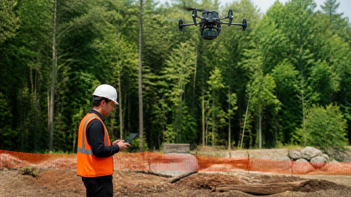
Lidar sends thousands of laser pulses per second. Some pulses strike a leaf and return immediately, while others pass through a gap in the canopy and reach the soil. A single pulse can produce multiple returns, which is what allows a lidar system to separate vegetation from bare earth. Filtering those returns is where the useful ground points come from.
Why Image Matching Struggles Beneath Canopy
Photogrammetry depends on finding the same feature in several overlapping photos. Under dense foliage, the ground is often hidden or inconsistent between frames, so the software has little to match. The result is a model that reconstructs the canopy surface well and the ground poorly. Good ground coverage usually requires a more open canopy than a single flight can provide.
LiDAR vs Photogrammetry Accuracy in Wooded Terrain
Accuracy is where many buyers start, and it is also where comparisons are most often oversimplified. Vertical accuracy for ground elevation matters most on grading and drainage work, while horizontal accuracy matters for boundary and volume work.
In wooded terrain, lidar can hold up better for ground elevation because some pulses reach the soil. Photogrammetry can still deliver useful results over open ground near the edges of a site, but its ground accuracy generally drops where canopy is heavy.
How Canopy Density, Leaf-On and Leaf-Off Conditions Change Results
Vegetation is not a single obstacle. Penetration depends on canopy structure, season, and vegetation type, and treating all tree cover as equivalent is the most common reason two surveys of the same site produce different ground models.
Canopy structure matters more than canopy height
A closed hardwood canopy with overlapping leaves and few gaps behaves very differently from a conifer stand with drooping branches, or an open oak savanna with scattered crowns. What controls ground returns is the fraction of the sky the sensor can see through, the gap structure, not the average tree height. Dense, layered canopies with a continuous mid-story leave few paths to the soil. Sparse or clumped canopies leave many.
Understory is the hidden variable. Low brush, saplings, and ferns sit close to the ground and can be misclassified as terrain in an automated pass. A model can look smooth and complete while actually describing the top of the understory rather than the soil. This is why field checks matter even when the point cloud looks clean.
Leaf-on versus leaf-off
Leaf-off conditions, typically late autumn through early spring in most of the country, expose far more ground and branch structure. Deciduous trees drop their leaves, and the remaining trunks and branches leave larger gaps for both laser pulses and camera lines of sight. The same site flown in full leaf can show a very different surface, with fewer ground returns and a terrain model that leans more heavily on interpolation.
Evergreens complicate the seasonal rule. Conifers keep their needles year-round, so leaf-off gains are smaller in a pine stand than in a hardwood stand. A mixed site can therefore show uneven improvement across the tract, with good ground coverage under the deciduous areas and poor coverage under the conifers.
What changes in the data
When canopy is dense or in full leaf, expect fewer ground points, a terrain surface that depends more on interpolation between the points that do reach the soil, and greater uncertainty in low-lying or obscured features such as ditches and swales. When canopy is sparse or leaf-off, ground-point density rises and the bare-earth model tracks the real surface more closely.
Watch out: scheduling a leaf-on flight for a hardwood site and then comparing it to a leaf-off survey from another project will produce misleading conclusions about which method performs better.
The table below summarises how canopy conditions change what each sensor can capture, based on the points made in this section.
| Condition | What changes in the data | Practical takeaway |
|---|---|---|
| Dense, layered canopy | Fewer ground points; more interpolation | Expect a weaker bare-earth model |
| Sparse or clumped canopy | More ground-point density | Bare-earth model tracks the real surface more closely |
| Leaf-off (late autumn to early spring) | Exposes more ground and branch structure | Penetration improves for deciduous stands |
| Leaf-on | Fewer returns reach the soil | Ground coverage drops under hardwoods |
| Evergreen conifers | Needles stay year-round | Leaf-off gains are smaller in pine stands |
| Understory brush and saplings | Can be misclassified as terrain | Field checks matter even with a clean cloud |
Photogrammetry Ground Mapping Under Trees: What Is Realistic
Photogrammetry under trees works best in a narrow set of conditions. Open clearings, sparse stands and leaf-off flights give the software enough visible ground to match. Outside those conditions, expect a surface model that describes the canopy top.
Be realistic about deliverables. A photogrammetry orthomosaic can still be valuable for visual site records, even when the ground model is limited. Treat the two outputs separately rather than assuming one dataset serves every purpose. ASPRS guidance on accuracy standards for geospatial data
LiDAR Point Cloud Classification and Bare-Earth Models
A lidar point cloud is only as useful as its classification. Ground points are separated from vegetation and structures, then interpolated into a bare-earth model (What is the difference between lidar data and a digital elevation model (DEM)?). This step determines whether the final terrain surface reflects the real ground.
Poor classification is a common cause of disappointing results. Dense understory can leave few ground points, and the interpolated surface may smooth over real features. Ask your provider how classification was performed and how ground points were checked.
Choosing a LiDAR and Photogrammetry Drone Workflow for Your Site
Start with the deliverable, then match the method to the site conditions. A short decision path handles most wooded projects.
A practical decision path
- Do you need bare-earth terrain for grading, drainage, or cut-and-fill? If yes and the site has meaningful canopy, lidar is usually the better fit because some pulses reach the soil and the returns can be classified into ground and vegetation.
- Do you need a visual record, texture, or a surface model of open areas? Photogrammetry delivers color and detail that a lidar point cloud does not, and it is often enough where canopy is light or the ground is visible.
- Do you need both terrain and visual context? Use a hybrid workflow: lidar for the ground surface and photogrammetry for imagery and texture, then combine them.
- Is the site dense, in full leaf, or heavy with understory? Expect fewer ground returns from either method and plan field validation accordingly.
Hybrid workflows and sensor fusion
Many projects benefit from flying both sensors. Lidar supplies the bare-earth terrain and reliable ground points under canopy, while photogrammetry supplies an orthomosaic and realistic visual context that helps clients read the site. Combining the two gives ground detail and visual realism in one deliverable, which is often more useful than either dataset alone. The trade-off is cost and processing time, so reserve the hybrid approach for projects where both terrain accuracy and visual context matter.
Field validation and ground truth
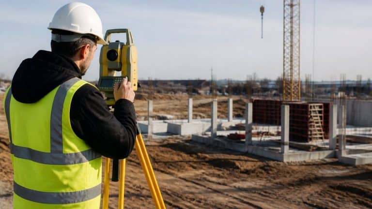
No terrain model should be accepted on the point cloud alone. Verify it with checkpoints and control points measured independently, ideally with a ground survey such as RTK GPS or a total station on a sample of open and wooded locations. Compare the modeled elevation to the measured elevation at each checkpoint and review the residuals. A common pattern is tight agreement in open areas and larger residuals under dense canopy, which tells you where the model is weakest. Ask your provider how ground points were classified and how many checkpoints were used.
LiDAR limitations under vegetation
Lidar does not pass through solid foliage. Returns depend on gaps in the canopy, pulse characteristics, scan angle, and acquisition settings. A dense, closed canopy can leave very few ground points, and the interpolated surface may smooth over real features. Lidar is the stronger tool under trees, but it is not a guarantee of full ground coverage.
SkyeTech Aerial flies to FAA Part 107 standards. Our team can recommend a workflow once we understand your canopy, season, and deliverable needs.
Request a Quote for Your Next Wooded Site Survey
Wooded sites reward careful planning. Share your site boundary, the deliverables you need and the season you plan to fly, and our team will recommend the right method. Get a free quote for expert drone mapping and data analysis for your wooded site. Request a free quote from SkyeTech Aerial to get started with a survey scoped to your canopy and project goals.
Frequently Asked Questions
Is LiDAR more accurate than photogrammetry?
Not automatically. LiDAR often produces more reliable ground elevations where vegetation is present because laser pulses can return from the ground between branches. Photogrammetry depends on image overlap and visible surfaces, so its accuracy under dense canopy is usually lower. Accuracy in either case depends on flight planning, ground control points, checkpoints, and processing quality. Verify results against surveyed checkpoints on your own site before relying on either output for earthwork or volume decisions.
Can LiDAR penetrate vegetation?
LiDAR can return signals from the ground beneath vegetation, but the proportion of ground returns depends on canopy density, leaf-on or leaf-off conditions, scan angle, and point density. Dense, leaf-on canopy typically reduces ground returns, while leaf-off conditions or sparse understory generally improve them. Ground detection should be quantified with checkpoints rather than assumed, especially in mixed or thick woodland.
Can drone photogrammetry map the ground beneath trees?
Only partially. Photogrammetry reconstructs surfaces from overlapping images, so it mainly captures the canopy top. Ground areas visible through gaps can be reconstructed, but terrain hidden beneath dense foliage is generally not captured. For a bare-earth model under trees, a LiDAR-based workflow or a combined approach is usually more dependable.
When should you use LiDAR instead of photogrammetry for a wooded site?
Consider LiDAR when the deliverable requires terrain beneath vegetation, such as a digital terrain model for grading, drainage, or volume work. Photogrammetry remains useful for visual detail, orthomosaics, and surfaces that are open to the sky. Many projects benefit from using both, with LiDAR providing ground elevation and photogrammetry providing color and texture. Confirm the choice against your deliverables and site conditions before flight.