Benefits of Drone Site Monitoring in 2026
Table of Contents
- What Drone Site Monitoring Delivers Today
- Construction Drone Progress Monitoring: Real-Time Project Visibility
- Drone Construction Site Mapping for Precise Planning
- Drone Photogrammetry for Construction: Accuracy and Data Quality
- Drone Surveys for Construction: From Measurement to Decision-Making
- Safety, Compliance, and Operational Limits in 2026
- Making the Case: ROI and Implementation Planning
- Frequently Asked Questions
Last Updated: October 21, 2026
What Drone Site Monitoring Delivers Today
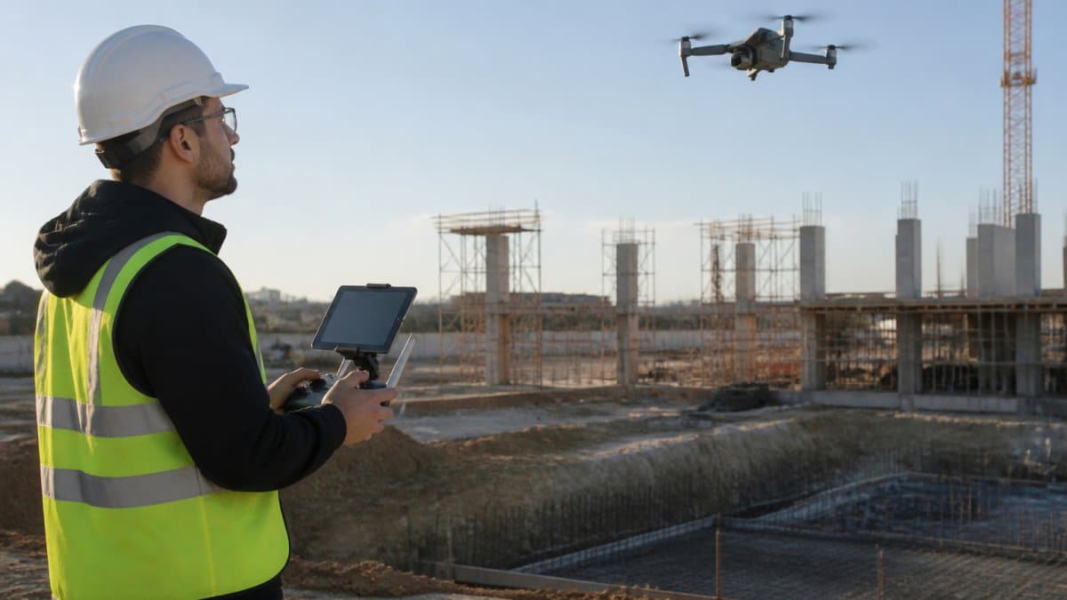
Drone site monitoring has shifted from a nice-to-have to a competitive necessity for construction and infrastructure teams. It captures aerial imagery and precise measurements that manual inspections cannot match at scale.
The core value is straightforward: you see your site from above with centimeter-level accuracy. Progress tracking becomes measurable, subcontractor compliance becomes verifiable, and hard-to-reach assets get inspected without sending crews into hazardous areas.
What sets this apart from traditional site surveys is speed and repeatability. A manual survey of a large site takes days; a drone flight takes hours.
Construction Drone Progress Monitoring: Real-Time Project Visibility
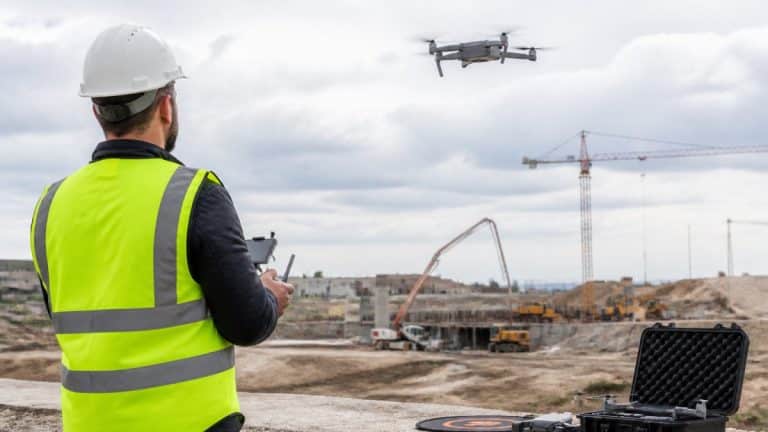
Construction drone progress monitoring transforms how teams track advancement from groundbreaking to final inspection.
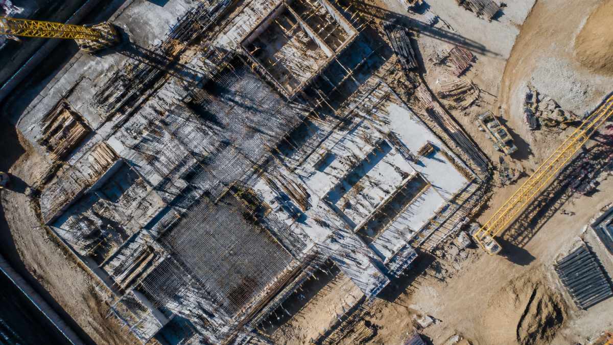
The practical benefit is measurable accountability. When a subcontractor claims 60% completion of foundation work, drone imagery shows the actual percentage.
Progress monitoring also catches scheduling conflicts early.
Routine drone inspections reduce time spent on site walks. A 30-minute flight covers what might take three hours on foot, especially on large or complex sites.
Drone Construction Site Mapping for Precise Planning
Drone construction site mapping creates a digital representation of your site that planning teams can reference without traveling there, which matters most during early design and when coordinating across distributed teams.
Aerial mapping captures topography, existing structures, utility locations, and site boundaries in a single flight, feeding directly into planning software.
Precision is critical: a site map that misses a grade change by two feet creates downstream design conflicts.
Site mapping also documents existing conditions before construction starts, protecting you if disputes arise about site conditions or pre-existing damage.
Drone Photogrammetry for Construction: Accuracy and Data Quality
Drone photogrammetry for construction converts overlapping aerial photographs into precise 3D models and measurements, and the accuracy matters because your decisions depend on it.
Photogrammetry analyzes hundreds of photographs from slightly different angles, matches points across images, and calculates their 3D position.
That accuracy changes what you can measure: stockpile volumes become precise, grade elevations become verifiable, and material quantities can be calculated with confidence rather than guesswork.
Data quality also depends on flight planning and weather.
Drone Surveys for Construction: From Measurement to Decision-Making
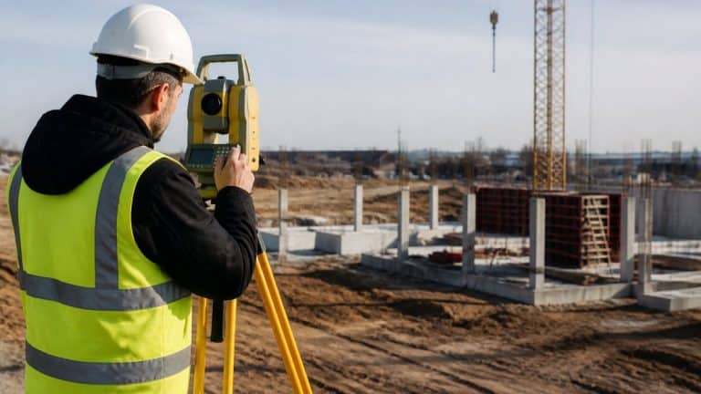
Drone surveys for construction establish baselines, track changes, measure quantities, and document conditions, each requiring slightly different flight parameters and processing.
A baseline survey captures your site’s condition before work begins. That becomes your reference point for all future measurements.
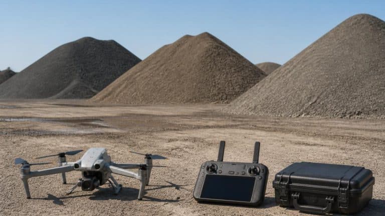
Volume calculations are particularly useful for earthworks and material management: measure stockpile volumes, calculate cut-and-fill quantities, and track material movement, with results feeding directly into billing and inventory management.
As-built surveys document what was actually constructed versus what was planned, a record that matters for warranty claims, future renovations, and regulatory compliance.
Safety, Compliance, and Operational Limits in 2026
Drone site monitoring delivers its safety and efficiency gains only when flights are legal, repeatable, and defensible. In 2026 the regulatory picture is mature enough to plan around, but hard edges still separate a professional program from an occasional flight.
The regulatory baseline
Commercial drone operations on a jobsite fall under the FAA’s Small UAS Rule, commonly called Part 107. That framework sets the operating rules most teams encounter: a remote pilot certificate for the person flying, visual line of sight to the aircraft, altitude and airspace limits, and right-of-way rules.
- Pilot certification is not optional. Every commercial flight needs a remote pilot in command who holds a current certificate. A site superintendent who happens to own a drone is not a compliant operator.
- Airspace matters before you launch. Sites near airports, in controlled airspace, or under temporary flight restrictions require authorization through the FAA’s systems before flight. Teams that plan flights the morning of a pour routinely lose the window.
- Waivers exist but take time. Operations beyond visual line of sight, at night without anti-collision lighting, or over people require specific approvals. If your monitoring plan depends on any of these, build the approval timeline into the schedule, not the other way around.
Treating compliance as a vendor problem works only if the contract states who holds the certificate, files airspace requests, carries insurance, and owns the data. Put those answers in writing before the first flight.
Privacy and data governance
A drone flight captures more than your site: neighboring properties, workers, and sometimes the inside of partially enclosed structures. That creates obligations that are easy to overlook.
- Neighbor privacy. Flight paths should avoid lingering over adjacent property. A documented flight plan that stays over the site boundary is both a courtesy and a defense if a complaint arises.
- Worker privacy and notice. Many crews accept aerial monitoring once it is explained. Posting notice, limiting capture of break areas, and stating what is recorded and why reduces friction and supports workplace policies.
- Data retention and access. Decide how long imagery is kept, who can view it, and how it is secured. Timestamped aerial records are valuable evidence, which also makes them sensitive. Role-based access and a written retention schedule protect the owner and the contractor.
- Ownership. The contract should state whether the owner, the general contractor, or the service provider owns the raw imagery, the processed models, and the derived measurements.
Aerial imagery can capture people and property outside the project. Confirm your flight plan, notice practices, and data retention policy before the first flight, not after a complaint.
Operational limits you should plan around
The technology is capable, but not unconditional. These limits most often disrupt a monitoring schedule.
- Weather. Wind above roughly 20 to 25 mph degrades stable capture, and rain or snow grounds most aircraft. In many regions that removes a meaningful share of scheduled flight days, so build weather make-up days into the plan.
- Battery and flight time. Most site-monitoring aircraft fly in the range of 25 to 45 minutes per battery, less in wind or cold. Large sites need multiple flights or a launch-point plan.
- Line of sight. Part 107 requires the pilot to see the aircraft. Tall structures, cranes, and dense trees can block that view, which limits where and how you can fly without a waiver.
- Occlusion and accuracy limits. Dense vegetation, reflective surfaces, and water can degrade photogrammetry. Ground control points and checkpoints improve accuracy, but some conditions still call for a ground survey or a physical inspection.
Safety gains that hold up
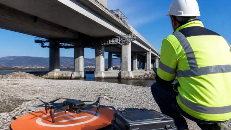
The safety case is real and specific. Roof, facade, tower, and bridge inspections that would put crews at height or in confined spaces can often be done from the air, removing fall exposure and reducing the number of people near hazardous operations. The inspection still happens; the risk shifts from workers to equipment and planning.
The 2026 advantage is not that drones can fly. It is that a compliant, insured, documented flight program turns aerial data into evidence you can use in disputes, insurance claims, and regulatory reviews.
Making the Case: ROI and Implementation Planning
The adoption decision usually comes down to two questions: where does the value show up, and how do we start without disrupting the job? The answers differ by stakeholder and project phase, which is why a generic ROI claim rarely convinces a leadership team.
Where the value shows up, by stakeholder
- Owners and developers. The value is verification and risk transfer. Timestamped aerial records show what was built, when, and under what conditions. That supports draw requests, insurance claims, and dispute resolution. Owners also gain planning-grade site models before construction begins.
- General contractors. The value is schedule and accountability. Progress imagery makes subcontractor claims checkable, surfaces idle equipment and stacked crews early, and gives project managers a shared visual record for owner briefings.
- Surveyors and site engineers. The value is repeatability. A drone flight does not replace the surveyor; it gives the surveyor a faster, denser data set to check and extend. Baseline, change-detection, and as-built records become routine rather than episodic.
- Earthworks and material teams. The value is quantity confidence. Stockpile volumes, cut-and-fill quantities, and material movement can be measured from photogrammetry and checked against tickets and billing.
How the value maps to project phases
- Bidding and preconstruction. A baseline flight documents existing conditions and topography, which supports takeoffs, site logistics planning, and pre-bid risk assessment.
- Construction. Weekly or milestone flights build the progress timeline, support pay applications, and catch scheduling conflicts before they cascade.
- Closeout and warranty. As-built records and final-condition imagery support punch lists, warranty discussions, and future renovations.
A practical cost comparison
A transparent comparison is more useful than a headline ROI figure. The table below frames the trade-offs most teams weigh; actual figures vary by site size, flight frequency, and software stack.
| Cost category | Manual survey and inspection | Drone site monitoring |
|---|---|---|
| Field labor | Crew hours per survey, repeated each cycle | Short flight plus pilot time per cycle |
| Equipment | Total station, levels, lifts, or scaffolding | Aircraft, batteries, and processing software |
| Safety exposure | Work at height and in confined spaces | Reduced worker exposure; equipment risk remains |
| Data turnaround | Days per survey | Hours to a day for processed outputs |
| Repeatability | Costly to repeat frequently | Same flight path can be repeated weekly |
| Accuracy | High with skilled crews | Centimeter-level with ground control |
| Best fit | Small sites, precise legal surveys, subsurface work | Large sites, progress tracking, stockpiles, inspections |
The honest conclusion is not that drones replace manual work everywhere. Routine, repeatable measurement and inspection shift to the air, while precise legal surveys and subsurface work stay on the ground.
A 2026 implementation plan
A monitoring program that survives contact with a live jobsite follows a sequence.
- Pick one high-value use case. Progress tracking, stockpile measurement, or asset inspection. Prove value on one workflow before expanding.
- Define the flight plan. Set the area, altitude, overlap, and ground control points so flights are repeatable and outputs are comparable over time.
- Assign responsibilities. Name the pilot, the data owner, the reviewer, and the person who acts on findings. Ambiguity here is the most common reason programs stall.
- Choose the software path. Decide how imagery becomes orthomosaics, point clouds, measurements, and reports, and how those outputs reach project management and BIM tools.
- Set cadence and review. Weekly or milestone flights, a standing review meeting, and a documented action log turn data into decisions.
- Review and expand. After a few cycles, compare outputs against the original use case and add the next workflow only when the first is routine.
Start with a cadence you can sustain. A weekly flight that actually happens beats a daily plan that collapses in the first month.
Integration and interoperability
The value of drone data depends on where it lands. Orthomosaics, point clouds, and volume reports should connect to the project management and BIM tools your team already uses.
SkyeTech Aerial helps construction and infrastructure teams implement drone site monitoring by handling flight planning, data collection, and processing, and by delivering outputs that fit existing project workflows. Our FAA-certified pilots follow Part 107 standards and deliver centimeter-level accuracy using photogrammetry and LiDAR. The FAA’s Part 107 regulations govern all commercial drone operations, and we maintain full compliance plus insurance coverage for every flight.
The barrier to adoption is not the technology but the discipline of picking one use case, planning repeatable flights, and integrating the outputs. Teams that do that find the value compounds; teams that buy a drone without a plan usually stop flying within a quarter.
Frequently Asked Questions
What data can drones collect on a construction site?
Drones capture orthomosaics (high-resolution aerial images), 3D point clouds, thermal data, and volumetric measurements. Using photogrammetry, they generate accurate site maps, progress documentation, and stockpile calculations. This data supports progress tracking, error detection, safety inspections, and compliance verification without manual site surveys.
How accurate are drone surveys for construction sites?
Modern drone photogrammetry and LiDAR deliver centimeter-level accuracy when properly calibrated with ground control points. This precision is sufficient for detecting grading errors, measuring material volumes, and verifying subcontractor work. Accuracy depends on flight planning, weather conditions, and data processing, professional operators ensure consistency across multiple site visits.
How often should a construction site be monitored by drone?
Frequency depends on project phase and milestones. Active construction phases benefit from weekly or bi-weekly flights to track progress and catch errors early. Infrastructure projects may require monthly monitoring. Weather delays and seasonal factors affect scheduling. Regular intervals establish a documented timeline and reduce the risk of discovering problems late in the project.
What are the downsides of using drones in construction?
Weather delays flights and impacts data quality. Initial setup requires coordination with site management and safety protocols. Data processing takes time before actionable insights are available. Drone operations require FAA Part 107 certification and insurance. Integration with existing project management software may require additional workflow adjustments. However, these limitations are offset by safety gains and long-term cost savings.