How to Justify Drone Services for Construction
Table of Contents
- Why Construction Teams Are Adopting Drone Services
- Building Your Construction Drone ROI Case
- Construction Site Progress Monitoring With Drones
- Construction Drone Mapping and 3D Models for Planning
- Selecting a Construction Drone Service Provider
- When Drone Services May Not Make Sense
- Presenting the Case to Your CFO and Leadership
- Frequently Asked Questions
Last Updated: October 11, 2026
Why Construction Teams Are Adopting Drone Services
Construction teams face constant pressure to stay on schedule, control costs, and prevent safety incidents. Yet traditional methods, manual surveys, ground-level inspections, and paper-based tracking, create blind spots and waste time.
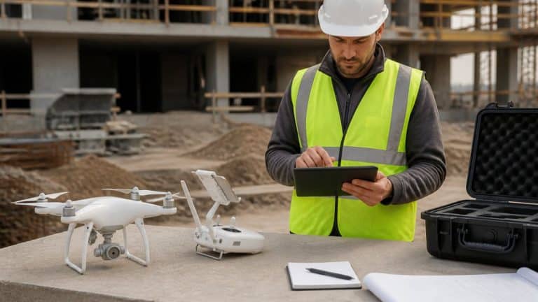
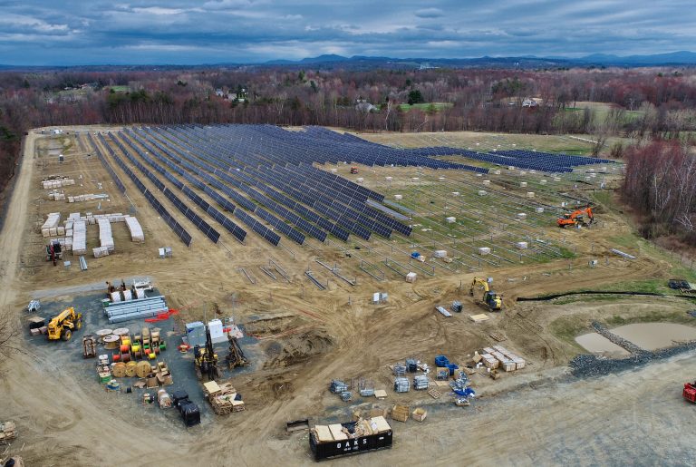
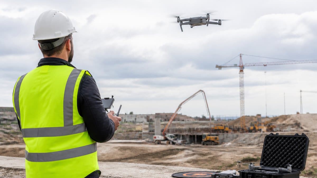
That’s why many construction firms now use drone services for construction to justify drone services construction site documentation and progress monitoring. Drones capture high-resolution aerial data that reveals what ground-level inspections miss, enabling teams to catch problems early and make faster decisions. This elevated perspective proves particularly valuable when assessing structural integrity, as a drone roof inspection provides the precise visual evidence needed to determine if maintenance is required before minor wear becomes a costly liability.
Drones equipped with photogrammetry and LiDAR technology generate precise 3D models and orthomosaics that teams can measure, analyze, and share instantly, changing how projects are planned, tracked, and executed.
Building Your Construction Drone ROI Case
To justify drone services construction projects, you need a structured business case that quantifies costs, savings, and payback period.
The Three-Part Business Case Framework
A defensible ROI case has three components: baseline costs, drone service costs, and quantified benefits.
Step 1: Map Your Current Workflow and Baseline Costs
Document how you currently collect site data and monitor progress. For each activity, record labor hours, hourly rates (fully loaded), equipment and travel costs, frequency, and indirect costs from delays.
Example baseline: Monthly site survey ($2,230) + weekly progress photos ($1,360) = $3,590 per month or $43,080 annually.
Step 2: Define Drone Service Costs
Typical pricing models: per-flight fees, monthly retainers, or project-based fees. Request quotes from qualified providers.
Step 3: Quantify Savings and Benefits
Now calculate what you save or gain:
Labor time savings: Manual surveys require 48 hours per survey; drone flights require 2 hours. Annual savings from 12 surveys: $35,400.
Rework prevention: Estimate historical rework costs. If drone monitoring catches 2 major errors per year that would have become rework, annual savings: $13,120.
Schedule acceleration: Aerial data available within 24 hours enables faster corrective action. Assuming one week of schedule compression per project and 2 projects per year: $80,000 annual benefit.
Safety and compliance: Drone inspections replace high-risk manual inspections, reducing worker exposure and equipment costs. Assuming 4 high-risk inspections per year: $8,000 annual savings.
Total Annual Benefits: Labor savings ($35,400) + rework prevention ($13,120) + schedule acceleration ($80,000) + safety savings ($8,000) = $136,520.
Step 4: Calculate Payback and ROI
Annual drone service cost vs. annual benefits can yield a strong case for finance approval.
Building Your Pilot Proposal
Propose a pilot on one project or phase. Include project scope, baseline metrics, drone service plan, success metrics, timeline, budget, and risk mitigation.
Example: A pilot on a foundation phase can demonstrate expected savings and net pilot cost.
Presenting to Leadership
Lead with payback, not technology. Opening: “Drone services can pay for themselves through labor savings and rework prevention. We’re proposing a pilot to validate.” Support with baseline costs, drone costs, quantified benefits, payback timeline, pilot scope, and risk mitigation.
Construction Site Progress Monitoring With Drones
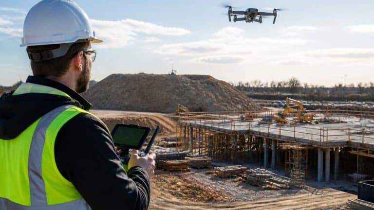
Progress monitoring is where drone services deliver the most consistent value. Regular aerial data collection creates a visual timeline of your project.
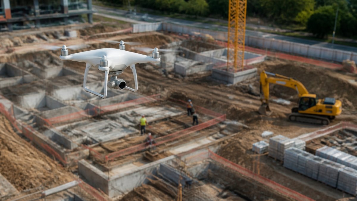
Weekly or bi-weekly drone flights show exactly where work stands. Subcontractors can’t claim progress that isn’t there. Delays become visible immediately, not discovered at the end-of-month meeting. This visibility drives accountability and faster problem-solving.
Progress data also feeds into schedule management. When you can see actual progress against the planned schedule, you catch delays early. Early detection means time to adjust resources or sequences before the delay cascades to the critical path.
Construction drone mapping and 3D models create a shared reference point for all trades. Everyone sees the same data. Disputes about what’s complete or what remains shrink when the evidence is a precise 3D model, not competing opinions.
Construction Drone Mapping and 3D Models for Planning
Drone-generated 3D models from photogrammetry show topography, structures, utilities, and constraints with centimeter-level accuracy. This data improves earthwork calculations, layout verification, utility avoidance, and material staging. Teams using construction drone mapping and 3D models for planning report fewer surprises and errors.
Selecting a Construction Drone Service Provider
Provider quality depends on equipment, expertise, and process integration with your existing systems. A provider with excellent accuracy but incompatible deliverables will create friction and waste ROI.
Certifications and Regulatory Compliance
Verify FAA Part 107 certification, insurance coverage, and understanding of airspace restrictions and local regulations. Ask how the provider has handled constraints on similar projects.
Data Accuracy and Technical Specifications
Ask what accuracy level the provider guarantees (centimeter-level is standard for quality providers). Verify use of ground control points. Understand the drone platform, sensors, processing software, and turnaround time.
Deliverables and Data Formats
Ask what deliverables you’ll receive and in what format. Verify open formats (GeoTIFF, LAS) with proper metadata. Confirm integration with your project management, CAD, and analysis tools. Open formats provide flexibility; proprietary portals lock you in.
Measurement and Analysis Capabilities
Ask what analysis the provider includes.
Basic providers deliver raw data only. You measure and analyze yourself.
Mid-tier providers include:
- Volume calculations (stockpile measurements, cut-and-fill)
- Distance and area measurements
- Change detection (comparing two flights to show what moved or changed)
- Orthomosaic with measurement tools embedded
Full-service providers offer:
- Custom reporting (progress summaries, KPI dashboards)
- Integration with your project schedule (comparing actual progress to planned)
- Anomaly detection (flagging areas that deviate from plan)
- Time-series analysis (tracking change over multiple flights)
Determine which level matches your team’s capability. If your team lacks GIS or surveying expertise, a provider who includes analysis and reporting saves you from hiring that skill. If you have in-house expertise, you may prefer raw data and the flexibility to analyze it yourself.
Data Ownership and Licensing
Ask who owns the data after the project ends.
- You own it: You can use it indefinitely, share it with consultants, archive it, or re-use it on future projects
- Provider owns it: You have a license to use it during the project; after project closeout, the provider may delete it or restrict your access
- Shared ownership: Common for ongoing service relationships
For construction, you should own the data. It’s part of your project record and may be needed for warranty claims, disputes, or future renovations. Confirm this in writing before signing a contract.
Operational Workflow and Scheduling
Understand how the provider operates on your site.
Scheduling and coordination:
- How far in advance must you request a flight? (Same-day requests vs. 48-hour notice)
- Who coordinates with your site safety and project management? (Direct contact with the provider, or through a project coordinator?)
- What happens if weather cancels a flight? (Automatic reschedule, or do you request again?)
- Can the provider fly during active construction, or only during crew breaks?
Data delivery workflow:
- Where will processed data be delivered? (Email, cloud portal, direct integration with your software)
- Who has access? (Just the project manager, or your entire team?)
- How long is data retained? (Indefinitely, or deleted after project closeout?)
- What happens if you need to re-process data with different settings? (Free, or additional fee?)
Communication and support:
- Is there a dedicated contact for your project, or a general support line?
- How quickly do they respond to questions about data or processing?
- Do they provide training on how to use the data and tools?
Comparing Providers: A Checklist
When evaluating multiple providers, use this checklist to compare apples to apples:
- FAA Part 107 certification and insurance coverage amount
- Accuracy guarantee (horizontal and vertical, with or without GCPs)
- Drone platform and sensors (RTK capability?)
- Processing software and turnaround time
- Deliverable formats (GeoTIFF, LAS, etc.) and metadata completeness
- Integration with your existing software (CAD, project management, analysis tools)
- Measurement and analysis capabilities included vs. extra cost
- Data ownership and retention policy
- Scheduling flexibility and weather contingency process
- Dedicated project contact and support response time
- References from similar projects (size, complexity, industry)
- Cost: per-flight, monthly retainer, or project-based
The cheapest provider is rarely the best. A provider who costs 20% more but delivers data in your native format, integrates with your software, and provides same-day turnaround will save you time and money in the long run.
When Drone Services May Not Make Sense
Drone services aren’t right for every project. Small projects with short timelines may not generate enough data collection events to justify the cost. A single-day demolition or a small interior renovation doesn’t need aerial monitoring.
Weather also matters. Drone flights require adequate visibility and wind conditions. In regions with frequent rain or high winds, scheduling reliable flights becomes difficult. If your project timeline doesn’t allow for weather delays, drone services may create more frustration than value.
Access can also be a limiting factor. Some sites have airspace restrictions or surrounding buildings that make safe drone operations impossible. Urban infill projects or sites near airports may not be suitable for drone flights.
Finally, if your team lacks the internal capability to interpret and act on drone data, the investment may not pay off. Drone services deliver data, not decisions. Your team must have the knowledge and process to convert that data into action.
Presenting the Case to Your CFO and Leadership
Your CFO wants one thing: return on investment. To present the case effectively, lead with numbers, not technology.
Structure your pitch around three elements:
-
Baseline costs: What does your current method cost? Manual surveys, labor hours, equipment rental, and staff time all add up.
-
New costs: What will drone services cost? Request a quote from a qualified provider. Include equipment costs if you’re buying instead of outsourcing, or service fees if you’re contracting.
-
Savings and benefits: Time savings, rework prevention, safety improvements, and faster decision-making. Quantify each in financial terms.
The strongest pitch includes a pilot project. Propose one site or one phase where you’ll test drone services. Measure the results against your baseline. Real data from your own project is far more persuasive than industry averages.
Present the case as a pilot, not a company-wide commitment. Pilots feel lower-risk. They generate proof. Once leadership sees results on one project, expanding to others becomes easier.
Justifying drone services for construction comes down to clear data and honest math. Measure your baseline, quantify your benefits, and test on a pilot project. When you can show that drone services save time, prevent errors, and improve safety, the case makes itself.
SkyeTech Aerial helps construction teams build that case. Our FAA-certified pilots deliver centimeter-level accurate data using best-in-class platforms like DroneDeploy and Pix4D.
Ready to see how drone services perform on your project? Request a free quote from SkyeTech Aerial and let’s build your ROI case together.
Frequently Asked Questions
How can construction companies justify hiring drone services?
Build a business case by calculating three key benefits: labor time saved through faster site documentation, rework costs avoided by catching errors early, and safety improvements from eliminating high-risk inspections. Compare the service cost against these measurable savings. Most construction teams see the investment pay for itself when drone services replace traditional site surveys and progress documentation.
What should I look for when selecting a construction drone service provider?
Verify FAA Part 107 certification, insurance coverage, and experience with your project type. Ask about data accuracy (centimeter-level precision is standard), how they deliver results (3D models, orthomosaics, reports), and whether their software integrates with your project management system. Request references from similar projects and compare turnaround times for site visits and data delivery.
How do you measure the return on investment of construction drone services?
Track three metrics: hours saved on site surveying and progress reporting, rework costs prevented through early error detection, and labor hours eliminated by reducing manual measurement tasks. Calculate the service cost per project and divide it by total savings. Document baseline costs before using drones, then compare against project costs after implementation to show actual ROI.
What are the main downsides of using drones in construction?
Weather delays flights, so poor visibility or high winds can push data collection to another day. Drone regulations limit flights near airports and require clear airspace. Initial learning curves apply if your team is new to drone data workflows. Upfront service costs can be high on small projects where traditional methods suffice. Integration with existing software may require additional setup or training.