Professional Drone Services: The 2026 Buyer’s Guide
Table of Contents
- What Sets Professional Drone Services Apart from Hobbyist Operators
- FAA Part 107 Certified Drone Pilots: What to Verify Before You Hire
- Drone Photogrammetry for Construction: Progress Tracking and Subcontractor Verification
- Drone Inspection Services Cost: How Pricing Models Work
- Infrastructure and Industrial Inspections: Hard-to-Reach Assets Without Ladders or Lifts
- Post-Processing and Deliverables: What You Actually Receive
- Insurance, Liability, and Risk Management for Drone Operations
- Conclusion: Choosing the Right Professional Drone Services Partner
- Frequently Asked Questions
Last Updated: October 4, 2026
What Sets Professional Drone Services Apart from Hobbyist Operators
Professional drone services are commercial aerial data operations run by trained, certified pilots using survey-grade equipment and software. They deliver measurable, repeatable results for construction, infrastructure, and inspection work. At SkyeTech Aerial, we build every flight around the decisions you need to make, not around pretty pictures.
The gap between a hobbyist and a professional operation shows up in the data. A recreational pilot captures images. A professional drone services provider captures measurements you can defend in a budget meeting.
The Equipment and Software Difference
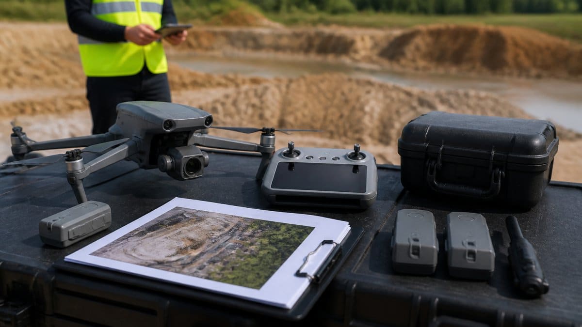
Consumer drones fly with a single camera and no ground control. Survey-grade platforms carry calibrated sensors, and they feed data into photogrammetry and LiDAR software such as DroneDeploy, Pix4D, and DJI Terra. That software turns raw images into models with real-world coordinates.
Calibration matters more than megapixels. A calibrated sensor produces consistent results across flights, which is what lets you compare this month’s site model to last month’s.
Why Data Accuracy Matters for Your Project
Small errors compound. A grading mistake caught early costs a fraction of one found after paving. Accuracy is the whole point of hiring professional drone services instead of sending someone out with a measuring tape.
FAA Part 107 Certified Drone Pilots: What to Verify Before You Hire
FAA Part 107 certification is the legal baseline for commercial drone flight in the United States. Any provider flying for hire without it is operating outside federal rules, and that puts your project at risk.
Ask for the certificate, not a verbal promise. Under the FAA’s Part 107 small unmanned aircraft rule, remote pilots in command must hold a valid certificate and follow operating limits covering altitude, airspace, and visual line of sight.
Certification, Insurance, and Compliance Checklist
Use this list before you sign anything:
- Current FAA Part 107 remote pilot certificate for every pilot on your job
- Certificate of insurance showing general liability coverage and aviation-specific limits
- Additional insured endorsement naming your company
- Written flight planning and airspace authorization process
- Documented maintenance and pre-flight inspection records
- Emergency procedures and incident reporting policy
Hiring an uncertified operator can void your own liability coverage if something goes wrong on site. The low bid is not worth that exposure.
Drone Photogrammetry for Construction: Progress Tracking and Subcontractor Verification
Drone photogrammetry for construction is the process of stitching overlapping aerial images into measurable 3D site models. It gives you a dated, objective record of what was actually built each week. That record settles disputes before they start.
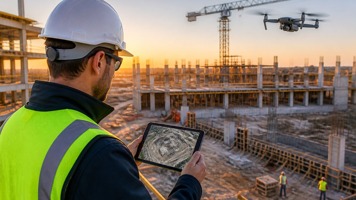
Our clients use this for subcontractor verification. When earthwork quantities are in question, a stockpile measurement from a dated flight ends the argument quickly. As one lead construction manager told us, “SkyeTech Aerial has revolutionized our project monitoring. The drone data is precise and delivered incredibly fast.”
Orthomosaics, 3D Models, and Stockpile Measurements
An orthomosaic is a flat, geometrically corrected aerial image map that you can measure directly. A 3D model adds elevation. Together they let you calculate site volumes, track cut and fill, and measure stockpiles without walking the site.
| Deliverable | What It Shows | Typical Use |
|---|---|---|
| Orthomosaic | Corrected top-down map | Progress documentation |
| 3D model | Surface with elevation | Cut and fill analysis |
| Stockpile report | Volume by pile | Billing verification |
| Elevation map | Grade comparison | Grading error detection |
Drone Inspection Services Cost: How Pricing Models Work
Drone inspection services cost depends on scope, not on a flat rate. Providers price by the acre, by the flight, by the asset, or on a recurring schedule. We quote each project after reviewing site size, access, and deliverable requirements. Most competitors stop there and leave you to guess. The useful question is not “what does a drone flight cost” but “what is included in the number, and what will change it.”
Three models dominate the market:
- Per-flight pricing. Best for one-time inspections or single-site captures. The quote usually covers mobilization, flight time, and a defined deliverable set.
- Per-acre or per-asset pricing. Common for large sites and utility corridors. The unit price drops as acreage rises because mobilization is spread across more ground.
- Subscription or recurring pricing. Best for ongoing progress tracking across multiple job sites. You pay for a schedule, not a single capture, which keeps the data comparable month over month.
What Actually Drives the Quote
Four levers move the number more than anything else:
- Site size and shape. A long, narrow utility corridor takes more flight lines and more battery swaps than a compact square of the same acreage.
- Access and travel. Remote sites add mobilization time. Urban sites add coordination time.
- Airspace complexity. Flights near controlled airports require coordination and planning hours that a rural field does not.
- Deliverable depth. Raw imagery costs less than processed orthomosaics, 3D models, or thermal imaging analysis. Each processing step adds labor.
Comparing Bids Without a Line-Item Breakdown
A common pattern is that the lowest bid excludes processing, and the highest bid bundles deliverables you will never open. Ask every provider to quote the same scope: same acreage, same deliverable list, same turnaround. When the scopes match, the prices become comparable. When they do not, the cheap quote is usually cheap because it is smaller.
If you have several sites, ask about a recurring schedule. Batching flights across nearby locations usually lowers the per-site cost compared with booking each one separately. Ask, too, whether the provider charges for weather standbys or reschedules, those terms matter more than the headline rate.
What to Ask Before You Sign
- Which pricing model applies, and what is the unit?
- What deliverables are included, and what costs extra?
- What is the turnaround time, and does rush delivery change the price?
- How are weather delays and reschedules handled?
- Is travel or mobilization billed separately?
A provider who answers these clearly is quoting a scope. A provider who answers vaguely is quoting a hope.
Infrastructure and Industrial Inspections: Hard-to-Reach Assets Without Ladders or Lifts
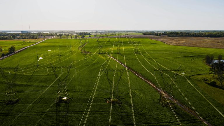
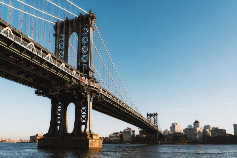
Infrastructure inspection by drone replaces ladders, scaffolding, and bucket trucks for many asset types. Bridges, rooftops, towers, pipelines, and solar arrays can be documented from the air with high-resolution imagery.
The safety case is straightforward. Every avoided lift removes a fall hazard and a crew from a dangerous position. Industrial maintenance teams use drone imagery to plan repairs before anyone climbs anything.
Thermal imaging adds a second layer. It surfaces hot spots on electrical equipment and moisture intrusion in roofing that a visual camera alone would miss.
Post-Processing and Deliverables: What You Actually Receive
Post-processing is where raw captures become usable project documentation. A professional drone services provider should tell you exactly what files you get and in what format.
Typical deliverables include:
- Georeferenced orthomosaics in standard image formats
- 3D models and point clouds
- Volume and stockpile reports
- Annotated inspection imagery with defect callouts
- Elevation and contour maps
Ask how the data integrates with your existing project management software. A file dump that nobody can open is not a deliverable. SkyeTech Aerial builds outputs that drop into the systems your team already uses.
Insurance, Liability, and Risk Management for Drone Operations
Risk management for drone operations covers three areas: aviation safety, insurance, and data handling. A serious provider documents all three before the first flight. Most articles tell you to “check insurance” and stop. Here is what to actually ask for and how to read it.
The Insurance Documents to Request
Ask for a certificate of insurance and read it, do not just file it. Look for:
- Aviation-specific liability coverage. Standard business policies often exclude aircraft, so a general liability certificate alone may not cover a drone incident.
- Hull coverage. This covers the aircraft itself. It matters to you only if the provider is flying a platform you are paying to have in the air, but it signals a provider who treats the equipment as an asset.
- Additional insured endorsement. This names your company on the policy, so you have a direct path to coverage if a claim arises from the flight.
- Limits that match the asset. Compare the liability limit against the value of what is being inspected. A rooftop inspection and a transmission tower carry different exposure.
Verifying a Pilot’s Credentials
Insurance is only half the file. Confirm the pilot’s FAA Part 107 remote pilot certificate is current, and confirm the provider has a written flight planning and airspace authorization process. Ask for sample deliverables and a description of how the provider handles an incident on site. A provider with a documented incident-reporting policy is a provider who has thought about what happens when something goes wrong.
Data Handling as a Risk Category
Aerial data often captures more than the asset. Site layouts, security details, and personnel can end up in the imagery. Ask where the data is stored, who has access, and how long it is retained. A provider who cannot answer this is a provider who has not considered your exposure.
The cheapest quote usually reflects the thinnest insurance and the least documented process. Price the risk, not just the flight.
Conclusion: Choosing the Right Professional Drone Services Partner
Matching a provider to your project comes down to evidence. Ask for certification documents, insurance certificates, sample deliverables, and a clear explanation of how they handle weather delays and scheduling. If any answer is vague, keep looking.
SkyeTech Aerial handles this work for construction, infrastructure, and inspection teams. Our pilots are FAA-certified and fully insured, our flights follow FAA Part 107 standards, and our photogrammetry and LiDAR workflows deliver centimeter-level accuracy in every model and orthomosaic we produce. Request a free quote and see what your site looks like with data you can actually build from.
Frequently Asked Questions
How much do professional drone services charge?
Pricing for professional drone services depends on the scope of work, site size, flight frequency, and the deliverables you need. A single real estate shoot costs far less than ongoing construction progress monitoring with orthomosaics and 3D models. Most providers offer per-project, per-acre, or monthly retainer models. Request a quote with your specific site details to get accurate numbers.
What certifications should professional drone service providers hold?
Any commercial drone operator in the U.S. must hold a Remote Pilot Certificate under FAA Part 107. Beyond that, look for liability insurance coverage, documented flight operations procedures, and experience with your industry. FAA Part 107 certified drone pilots have passed an aeronautical knowledge exam and follow strict operating rules including altitude limits and airspace authorization requirements.
How does drone photogrammetry for construction improve project outcomes?
Drone photogrammetry for construction captures hundreds of overlapping images that software stitches into orthomosaics and 3D models. These deliverables let you measure stockpiles, track grading progress, verify subcontractor work, and spot errors early. One construction manager reported that SkyeTech Aerial’s detailed images helped spot grading errors early, saving thousands in rework costs.
What should be included in a professional drone service contract?
A solid contract should specify the scope of flights, deliverables (orthomosaics, 3D models, raw images), turnaround times, insurance coverage, weather contingency plans, and data ownership terms. It should also confirm the operator’s FAA Part 107 certification and liability insurance limits. Ask about integration with your project management software so the data feeds directly into your existing workflows.