Benefits of LiDAR for Site Inspection
Last Updated: October 23, 2026
Quick Summary
The benefits of LiDAR for site inspection include rapid data collection in hours instead of days, millimeter-level accuracy for detecting deviations, and detailed 3D models that reveal problems traditional surveying misses. This eliminates disputes about what was built versus what was planned and catches mistakes before they become expensive rework.
- Drone-based LiDAR scans typical construction sites in hours instead of days, with data ready for analysis within 48-72 hours.
- LiDAR penetrates vegetation, works in shadows and low light, and handles reflective surfaces better than photogrammetry.
- Progress tracking with LiDAR provides objective verification of work completion and early detection of deviations from plan.
- LiDAR accuracy depends on range, surface reflectivity, scan density, calibration, and atmospheric conditions, not just sensor specifications.
- Safety benefits include fewer workers at height and less time near heavy equipment when operational procedures are followed.
Table of Contents
- What LiDAR Site Inspection Delivers
- Speed and Efficiency in Data Collection
- LiDAR vs Photogrammetry for Site Inspection
- Drone LiDAR Mapping for Construction Progress Tracking
- LiDAR Accuracy and Limitations You Should Know
- 3D Site Modeling for Better Project Planning
- Real-World Applications and Safety Benefits
- Frequently Asked Questions
What LiDAR Site Inspection Delivers
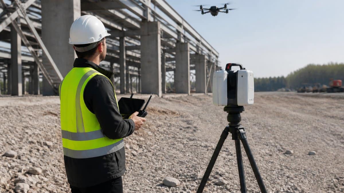
LiDAR technology captures precise 3D data of construction sites and infrastructure assets using laser scanning. The benefits of LiDAR for site inspection include rapid data collection, millimeter-level accuracy, and detailed 3D models that reveal problems traditional surveying misses.
Site inspections traditionally rely on manual measurements, photographs, and written notes. This approach is slow, prone to human error, and often misses critical details. LiDAR changes this entirely.
The technology scans surfaces from multiple angles, creating point clouds with millions of data points per second.
The real advantage isn’t just speed. It’s confidence. When you have precise measurements of every surface, grade, and structure, you eliminate disputes about what was built versus what was planned.
Speed and Efficiency in Data Collection
Traditional surveying requires crews to physically measure every dimension. This takes time, ties up personnel, and delays project decisions.
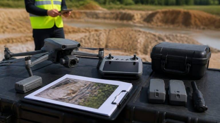
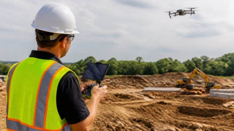
A typical construction site that takes days to survey manually can be scanned in hours using drone-based LiDAR (Integrating surveying technologies on megaprojects helps minimize risks).
This speed advantage compounds across multiple sites. Teams managing several projects simultaneously can collect current data on all of them without overwhelming their schedules.
Key efficiency gains:
- Eliminates manual measurement of large areas
- Reduces on-site crew time and safety risks
- Delivers data ready for analysis within 48-72 hours
- Supports frequent monitoring without operational disruption
- Captures hard-to-reach areas without equipment rental or ladder work
The efficiency extends beyond data collection. Once captured, the point cloud data integrates directly into planning software, eliminating manual data entry.
LiDAR vs Photogrammetry for Site Inspection
Both LiDAR and photogrammetry capture 3D site data, but they work differently and suit different purposes.
Photogrammetry reconstructs 3D models from overlapping photographs. It’s effective for visible surfaces and produces excellent color-coded models.
LiDAR uses laser pulses to measure distance directly.
| Capability | LiDAR | Photogrammetry |
|---|---|---|
| Works in shadows | Yes | No |
| Penetrates vegetation | Partial | No |
| Requires good lighting | No | Yes |
| Color accuracy | No | High |
| Reflective surface handling | Excellent | Poor |
| Vegetation filtering | Advanced | Limited |
| Best use case | Structural, terrain, complex sites | Visual documentation, color models |
For site inspection, LiDAR excels when accuracy matters most.
Many teams use both. LiDAR provides precise measurements and structural detail. Photogrammetry adds color and visual reference. Combined, they give you complete site intelligence.
Drone LiDAR Mapping for Construction Progress Tracking
Drone-based LiDAR transforms how teams monitor construction progress.
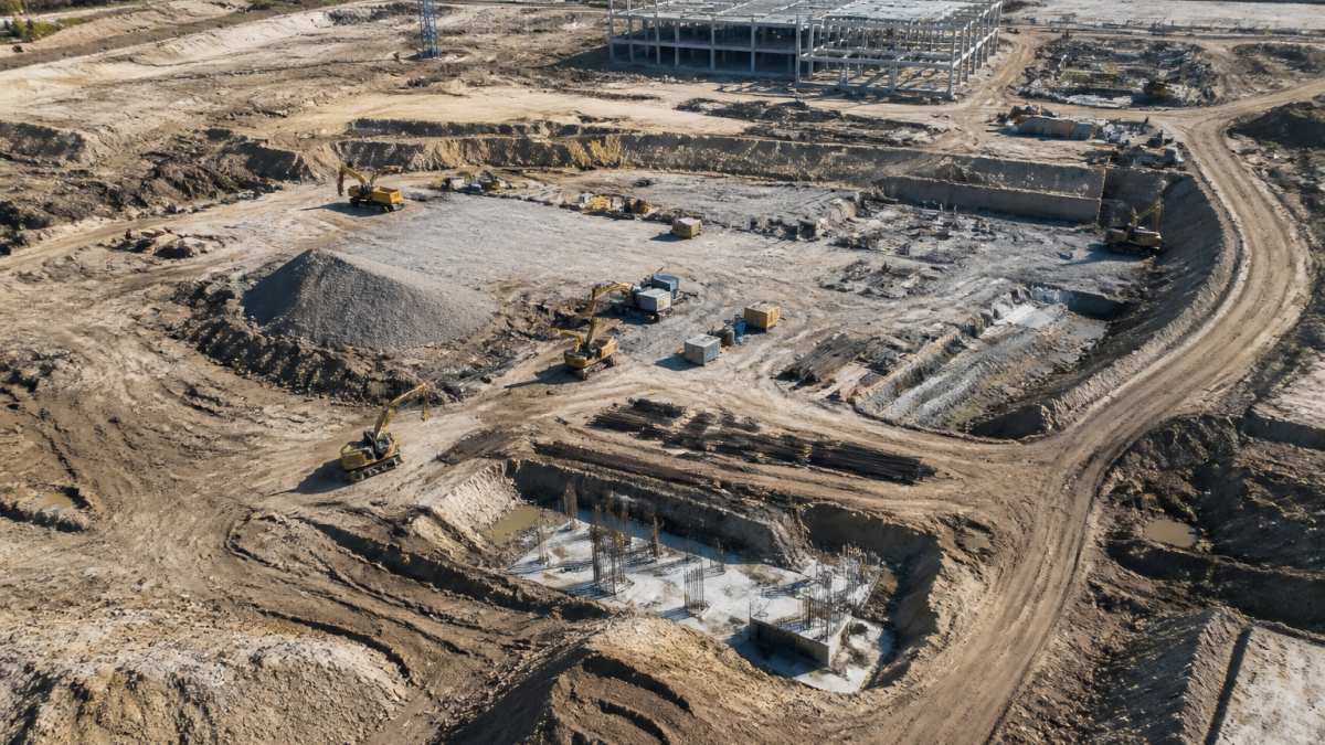
Progress tracking with LiDAR works like this: capture baseline data at project start, then collect repeat scans at regular intervals.
This approach eliminates subjective judgment. When a subcontractor claims work is 80% complete, you verify it with data.
Frequent monitoring also catches problems early. If grading is off by inches, you know within days, not weeks.
Progress tracking benefits:
- Objective verification of work completion
- Early detection of deviations from plan
- Reduced disputes with subcontractors
- Faster decision-making on schedule adjustments
- Clear documentation for project records
The data also supports scheduling.
LiDAR Accuracy and Limitations You Should Know
LiDAR delivers strong accuracy, but the number on a spec sheet is not the number you get on every site. The practical question for inspection work is not “how accurate is LiDAR?” but “what accuracy can I prove on this site, on this surface, under these conditions?” That distinction separates a useful inspection deliverable from a false sense of precision.
What drives accuracy in a site scan
Several factors combine to determine the final accuracy of a point cloud:
- Range and incidence angle. Accuracy degrades as distance from the scanner increases and as the laser hits a surface at a shallow angle. A surface scanned from directly above returns cleaner measurements than one grazed from the side.
- Surface reflectivity. Hard, matte surfaces such as concrete, asphalt, and steel return strong signals. Dark, wet, or highly reflective surfaces scatter or deflect the beam. Water returns essentially no usable data, and polished glass or wet pavement can produce noisy or missing points.
- Scan density. More points per unit area means finer detail and better feature detection, but it also means larger files and longer processing. Density should be set by the smallest feature you need to inspect, not by the maximum the sensor allows.
- Calibration and control. Scanner calibration, drone positioning, and ground control points anchor the point cloud to real-world coordinates. Without independent control, the cloud may be internally consistent but offset from the project datum.
- Atmospheric conditions. Rain, fog, dust, and smoke reduce effective range and introduce noise. Wind moves the drone and shifts the scanner, adding measurement error that is hard to separate from real surface variation.
Accuracy limits by use case
A common pattern is that LiDAR comfortably supports progress verification, volume measurement, and deviation detection on hard surfaces, but it is not a substitute for a licensed survey when boundary, legal, or millimeter-critical dimensional work is required. For earthworks, accuracy is usually limited by surface roughness and vegetation rather than by the sensor. For façades and roofs, occlusion and reflective materials are the main constraints. For interiors, tight spaces and clutter reduce coverage and require more scan positions.
Do not treat a single scan as ground truth for as-built dimensions. Occlusion, reflective surfaces, and processing choices can all shift results. Where dimensional compliance matters, verify against independent control.
How to validate results before you rely on them
A practical validation workflow looks like this:
- Establish control. Place or verify ground control points and check them against the project datum before scanning.
- Run a check scan. Scan a known feature, such as a building corner or a surveyed monument, and compare the measured position to its known coordinates.
- Compare to independent data. Overlay the point cloud on existing survey data or a prior scan and measure the offset at stable features.
- Check residuals. Review the alignment error reported by your processing software and confirm it falls within the tolerance your inspection requires.
- Document the result. Record the control used, the residuals, and the conditions so the deliverable can be defended later.
Most practitioners find that a short validation step at the start of a project prevents disputes at the end. It also tells you early whether conditions on a given day are good enough for the accuracy your inspection needs.
When to bring in independent verification
Bring in a licensed surveyor or independent verification when the work involves legal boundaries, structural sign-off, payment disputes tied to quantities, or any dimension where a small error carries large consequences. LiDAR is fast and thorough, but it is one input into a quality system, not a replacement for professional judgment.
3D Site Modeling for Better Project Planning
Three-dimensional site models created from LiDAR data transform planning.
These models reveal planning conflicts that 2D drawings hide. How does the new building relate to existing utilities?
The benefits of LiDAR for site inspection extend into the planning phase.
3D models also improve stakeholder communication.
For infrastructure projects, 3D models support asset management. Utilities, roads, and facilities are documented in accurate spatial context.
Many teams integrate 3D models into project management systems. Progress tracking compares current conditions to the model.
Real-World Applications and Safety Benefits
LiDAR inspection extends beyond construction progress tracking, and the safety story is more than “workers stay on the ground.” The real value comes from matching the method to the use case and managing the operational risks that come with capturing data on active sites.
Applications where LiDAR fits best
- Earthworks and grading. Compare current surfaces to design to verify cut and fill, detect grade deviations, and measure stockpile volumes. Hard, open surfaces are where LiDAR performs most reliably.
- Façades and roofs. Capture building envelopes without sending workers onto steep or fragile roofs. Occlusion and reflective cladding are the main constraints, so plan multiple scan positions.
- Bridges and structures. Inspect undersides, bearings, and hard-to-reach elements from a distance. Tight geometry and shadowed areas require careful flight planning.
- Utilities and corridors. Map linear assets and surrounding conditions. Vegetation and buried infrastructure limit what the laser can see, so pair LiDAR with other records.
- Interiors and confined spaces. Capture as-built conditions without extended worker exposure. Clutter and tight spaces reduce coverage and require more scan positions.
Where LiDAR struggles
LiDAR is not the right tool for every inspection. Water surfaces return no usable data. Dense vegetation blocks ground returns. Transparent or highly reflective materials produce noisy or missing points. Weather such as rain, fog, and high wind degrades results and can ground the aircraft. For these cases, combine LiDAR with photogrammetry, ground-based scanning, or manual inspection.
Operational safety procedures
Safety benefits do not happen automatically. They depend on disciplined procedures:
- Permissions and airspace. Confirm the flight is authorized, check airspace restrictions, and follow the operating rules that apply to the aircraft and location. Keep current documentation with the crew.
- Exclusion zones. Establish and mark zones around the aircraft’s operating area. Keep workers and equipment clear of the flight path and landing area.
- Working near people and machinery. Plan flights to avoid hovering over workers or active equipment. Use visual observers and clear communication with site supervision.
- Site access planning. Coordinate with site management, identify overhead hazards such as power lines and cranes, and schedule flights around active operations.
- Weather limits. Set wind, visibility, and precipitation thresholds in advance and stop work when they are exceeded.
- Data and privacy. Limit capture to the inspection area and handle imagery and point clouds according to site and privacy requirements.
Build a short pre-flight checklist that covers permissions, exclusion zones, weather limits, and communication with site supervision. It is the simplest way to turn a safety benefit into a repeatable procedure.
The safety payoff
The payoff is real when procedures are followed: fewer workers at height, fewer entries into confined spaces, and less time spent near heavy equipment. That reduces exposure and supports a stronger safety record. The benefit comes from the combination of remote capture and disciplined operations, not from the technology alone.
Common applications:
- Bridge and structural inspection
- Pipeline and utility assessment
- Roof and façade inspection
- Stockpile volume measurement
- Slope stability assessment
- Parking lot condition evaluation
- Electrical transmission line inspection
Each application leverages the same core advantage: accurate, rapid data collection without putting workers at risk, provided the operational risks are managed deliberately.
Frequently Asked Questions
How accurate is LiDAR for construction site inspections?
LiDAR can capture spatial data at millimeter-level accuracy when deployed correctly on construction sites. This precision allows you to detect grading errors, measure stockpile volumes, verify subcontractor work, and track progress against design specifications. Accuracy depends on scan density, flight altitude, and equipment calibration. Most commercial drone-based LiDAR systems deliver centimeter-level accuracy suitable for construction monitoring and quality control applications.
What is the difference between LiDAR and photogrammetry for site inspection?
LiDAR uses laser pulses to measure distance and create 3D point clouds, while photogrammetry reconstructs 3D models from overlapping photographs. LiDAR performs better in dense vegetation and low-light conditions because it doesn’t depend on visible features. Photogrammetry produces detailed color information and works well on clear days with good lighting. Many projects benefit from both technologies combined, LiDAR for structural measurement and photogrammetry for visual documentation and orthomosaics.
Can drone LiDAR mapping handle large construction sites?
Yes. Drone LiDAR mapping covers large areas efficiently by capturing millions of data points per flight. A single flight can survey hundreds of acres, making it practical for sprawling construction sites, infrastructure corridors, and utility projects. Multiple flights from different angles provide complete coverage of complex terrain and hard-to-access areas. This capability reduces survey time significantly compared to traditional ground-based methods.
What are the main limitations of LiDAR for site inspection?
LiDAR performance can be affected by weather, rain, fog, and snow reduce data quality. Dense vegetation may obscure ground-level features. Reflective surfaces like water can create noise in the data. LiDAR also requires post-processing to convert raw point clouds into usable 3D models and orthomosaics. Understanding these limitations helps you plan inspections during suitable weather and validate data quality before making critical decisions.