Boost Construction Project Progress Tracking with Drones
For any building project, hitting deadlines and staying within the budget are the toughest parts. You’ve been there: walking the job site, reviewing blueprints, chatting with supervisors, yet a piece of the puzzle still feels missing.
Crucial information gets overlooked, messages stop flowing, and little issues quickly turn into costly headaches.
What if you could get a bird’s-eye view of your entire site, updated as often as you need? Drones now let us easily track the progress of building projects.
This technology gives you accurate, real-time data to make better decisions, helping you catch mistakes early and keep all teams informed.
What is Project Monitoring?
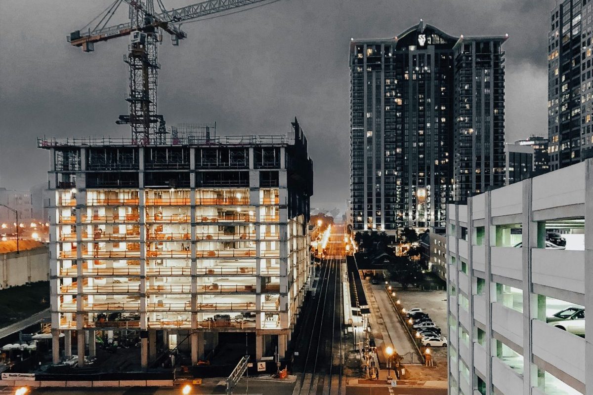
It is a straightforward process where a specialized construction drone flies a pre-planned route over your job site. While it flies, the drone operation involves capturing hundreds or thousands of high-resolution images from multiple angles.
This process is repeated on a set schedule, whether daily, weekly, or bi-weekly. This is not just about taking progress photos. Special drone software then processes these images, stitching them together to create a complete and measurable model of your site progress.
You get a perfect snapshot of your project’s status frozen in time. Compare this to traditional methods, where a project manager spends hours walking the site, taking notes. That method is slow, often inaccurate, and introduces unnecessary safety risks to personnel.
With monitoring drones, you get better information in a fraction of the time with superior accuracy.
The Benefits That Change Everything on a Job Site
Switching to drone construction monitoring is more than a small upgrade. It is a fundamental change that brings huge benefits to your operations. The advantages impact nearly every part of a project, from the budget to the safety of your crew on construction sites.
Unmatched Data Accuracy and Frequency
With drones, you get highly accurate data, with measurements often down to the centimeter. This level of precision was once only possible with expensive and slow ground-based survey crews. You can see exactly what is happening across the entire site without guesswork.
The frequency is another major advantage. You can decide to have a drone fly your site weekly or even daily if the project construction phase demands it. This consistent stream of high-quality data means you always have an up-to-date view of progress, so you are no longer making decisions based on old information.
Big Savings on Time and Money
Time is money in construction, and drones save you a lot of both. A drone can survey a 100-acre site in just a few hours. This is a task that would take a traditional survey team several days to complete, significantly reducing labor costs.
Recent studies show using drone surveying can slash data collection time by up to 90%. The most significant savings come from catching problems early. When you compare today’s drone map with yesterday’s, you can spot issues instantly.
A Safer Construction Site for Everyone

Job site safety is a top priority, and construction work has known hazards. Drones can help reduce these safety risks dramatically.
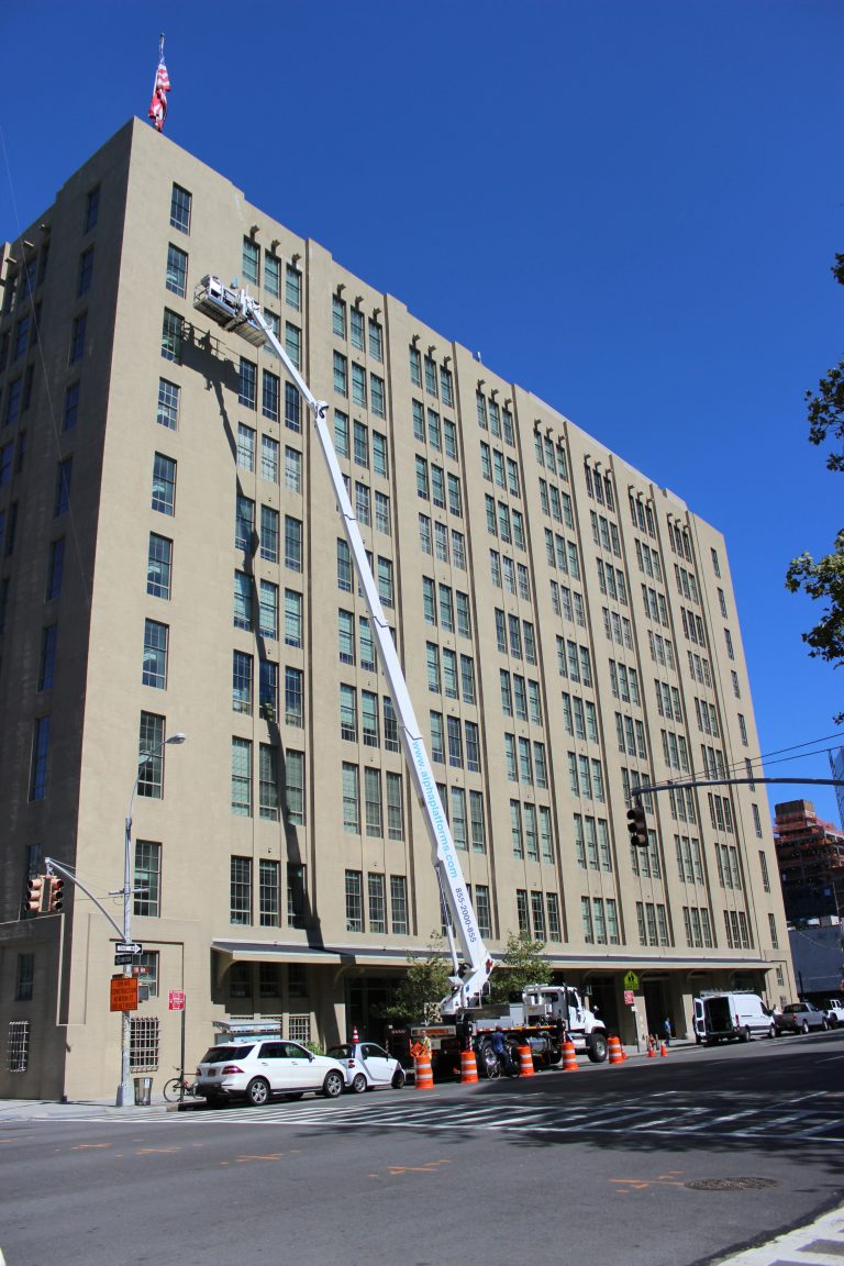
They let you inspect hard-to-reach or dangerous areas without putting a person in harm’s way.
Need to check the progress on a roof or inspect high-up steel beams? A construction drone can do it safely from the ground, mitigating potential public safety issues on or near the site.
Drones are also useful for monitoring site conditions after extreme weather events, assisting in disaster response without risking personnel.
Thermal cameras can even detect issues like heat escaping from a newly insulated building envelope.
Improved Communication and Collaboration
Miscommunication is a project killer, leading to rework, delays, and frustrated teams. Drones provide everyone with a single source of truth. The project manager, site foreman, client, and investors can all look at the same visual data, which can be easily shared via a simple link to an email address.
When your whole team is working from the same visual information, collaboration improves and projects run smoother. Stakeholders can get regular progress updates without having to travel to the site. This transparency builds trust and keeps everyone on the same page.
A Closer Look at the Technology Behind Drone Progress Tracking
The concept is powerful, but how does it actually work? The technology can be broken down into a few key components. It starts with the drone itself and ends with a useful data report.
The Drones and Their Payloads
Not just any off-the-shelf drone is suitable for professional construction monitoring. Professionals use commercial drones built for stability, reliability, and extended flight time. These drones carry high-resolution camera sensors, or payloads, that capture high-quality data.
The most common payload is a high-resolution RGB camera, similar to a powerful digital camera, but specifically designed for mapping. For more advanced needs, drones provide options to carry LiDAR sensors. LiDAR uses laser pulses to create highly detailed 3D maps and accurate models of the terrain and structures.
Other specialized payloads include thermal cameras for detecting energy loss or water intrusion and multispectral sensors for environmental monitoring. The choice of payload depends on the specific goals of the construction site monitoring task. This flexibility allows for a wide range of inspection solutions.
The Magic of Photogrammetry Software
The drone captures the images, but the transformation of that data happens back at the office. We use powerful drone software for a process called photogrammetry. This software analyzes thousands of overlapping photos taken by the drone.
It identifies common points in the drone imagery and uses them to build a detailed, geographically accurate model. The result is not just a collection of progress photos. It’s a rich dataset that you can measure and analyze from any angle.
This process allows you to create digital twins of your construction projects. This gives you an interactive and measurable record of your site at any point in time. It’s a powerful tool for documentation and analysis.
The Data Deliverables You Can Actually Use
The final step is turning all that site data into something useful for you. You do not need to be a software expert to get value from it. We process the data into easy-to-understand formats that integrate into your workflow.
- High-Res Photos & Videos: These are great for quick visual updates, team meetings, or creating marketing materials for your project. Aerial footage provides a compelling perspective.
- 2D Orthomosaic Maps: Think of this as your own private, super-high-resolution Google Map of your job site. It is updated whenever you want, allowing for precise measurements of distance and area.
- 3D Point Cloud Models: This is a digital twin of your site. You can fly through it virtually, measure distances, calculate volumes, and check elevations against your design files.
- Progress Reports: We can generate reports that show side-by-side comparisons of your site over time. These reports clearly highlight what has changed, making it easy to track progress and share data with stakeholders.
This processed data can be integrated with your existing project management software. It makes it easy to keep your teams informed. The solutions products generated are immediately valuable.
Getting Started: What You Need to Know

Are you thinking this could work for your next project? Adopting drone technology is easier than you might think. But there are a few important things you should know first.
Can I Just Buy a Drone and Fly It Myself?
It can be tempting just to buy a drone and attempt this yourself, but it is not that simple. For any commercial use, the drone pilot must have an FAA Part 107 certification. Flying in the crowded airspace of the Northeast also comes with its own set of rules and potential interactions with law enforcement or air traffic control.
Then there is the issue of insurance, which is critical, as well as an understanding of the local privacy policy. Beyond the regulations, correctly processing the drone data needs special software and expertise. Doing it wrong can give you bad information, which is worse than no information at all.
The time investment in training, processing, and equipment maintenance is significant. For most construction companies, these are resources better spent on their core business. The learning curve is steep, and mistakes can be costly.
The Case for Hiring a Professional Drone Service Provider
Working with a professional drone services provider, like us at SkyeTech Aerial, is a better path. We handle all the complex parts of the operation. This includes licensing, insurance, and compliance with all FAA and local flight rules.
We have the right commercial-grade equipment and the powerful software needed to create accurate results. Our experience means we know what to look for on construction sites. We turn raw data into actionable insights that help you track progress effectively.
This lets you focus on what you do best: building.
What to Look for in a Drone Partner
When choosing a partner, there are a few key things to consider. You want a partner who will help your project succeed.
- Certification and Insurance: Make sure they are fully licensed by the FAA and carry substantial liability insurance. Always ask for proof of these documents before they begin any work.
- Industry Experience: Look for a drone services provider who has specific experience working on construction projects. They will understand your needs, speak your language, and know how to capture high-quality data relevant to your challenges.
- Clear Deliverables: They should be able to clearly explain the data they give you and how you can use it. Ask to see examples of their final reports and models to ensure they meet your needs.
- Collaborative Approach: The best partner acts as part of your team. They should communicate well, be responsive, and be focused on helping you solve problems and achieve project goals.
Conclusion
Drones provide the clarity and high-quality information you need to keep projects on track and on budget.
From detailed maps to 3D models, the insights gained from regular progress updates are invaluable. This technology allows for better decision-making throughout the project lifecycle.
For businesses seeking a competitive edge, initiating drone-based construction project progress tracking is a smart move that yields tangible results. It transforms how you monitor construction, bringing a new level of control and predictability to your projects.