How to Process LiDAR Point Clouds for Construction Projects
Learn how to process LiDAR point clouds for construction, from cleaning and classification to building an accurate 3D site model you can measure against.

Learn how to process LiDAR point clouds for construction, from cleaning and classification to building an accurate 3D site model you can measure against.
Learn how lidar mapping captures site data and turns it into 3D models your construction team can measure, check, and share with confidence.
Get a progress monitoring template that tracks planned versus actual work, budget, and site evidence. Get the structure and a worked example.
Utility tower inspection requires careful planning. Learn the safety steps, from hazard checks to drone use, that keep crews safe and findings accurate.
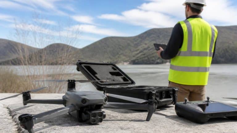
Drone service in the Hudson Valley: learn the FAA rules, what to ask providers, and how to check survey deliverables before you sign a contract.
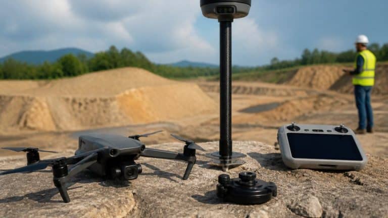
Improve drone mapping accuracy with seven field-tested steps, from ground control points and RTK or PPK positioning to image overlap and accuracy checks.

Verify subcontractor work in 5 steps to catch safety issues early and stay compliant. Learn the inspection framework that saves time.
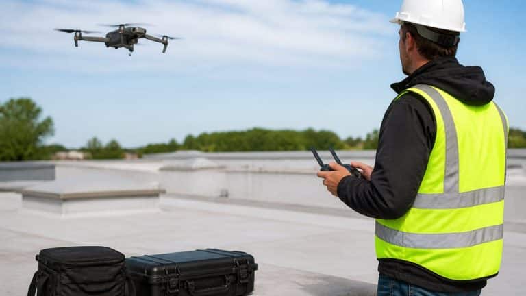
Understand drone roof inspection cost factors, pricing models, and what affects your quote. Learn how drone inspections compare to traditional methods.
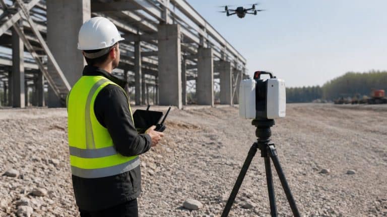
Discover how LiDAR technology improves construction and infrastructure site inspections with accurate 3D data, faster monitoring, and safer operations.
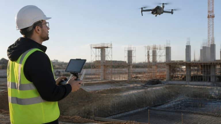
Discover how drone site monitoring improves construction tracking, safety, and accuracy in 2026. Learn real benefits and implementation strategies.