Aerial Progress Reporting for Commercial Construction Boost
Discover how aerial progress reporting for commercial construction uses drone data, 3D models, and site maps to keep projects on time and under budget.


Discover how aerial progress reporting for commercial construction uses drone data, 3D models, and site maps to keep projects on time and under budget.
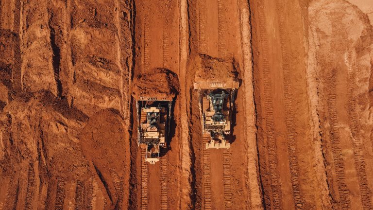
See how drone volumetrics for earthwork sites delivers accurate stockpile data. Learn the benefits for construction, aggregates, and agriculture.