Construction Progress Monitoring System: A Complete Guide
Quick Summary
A construction progress monitoring system collects regular site data, such as drone flights, 360 photos and field photos, and compares what has been built against the schedule. It turns that data into a record of percent complete, installed quantities and schedule variance, so project managers can spot delays before they become claims.
- Capture site data on the same cycle as your schedule updates, such as every two weeks.
- Compare each new capture against the same baseline model to keep trends reliable.
- Tag each model element to a schedule activity and cost code for accurate tracking.
- Review schedule variance as a trend, since repeated lag signals a resourcing or sequencing problem.
- Assign a named reader to every report, or it becomes noise within a month.
Table of Contents
- What a Construction Progress Monitoring System Does
- Why Manual Site Reporting Falls Short
- How Drone and 360 Capture Feed a Monitoring System
- Automated Construction Progress Tracking in Practice
- Construction Monitoring Drone Platforms and What to Compare
- Calculating Return on Investment and Getting Team Buy-In
- Booking Your First Site Survey With SkyeTech Aerial
- Frequently Asked Questions
What a Construction Progress Monitoring System Does
A construction progress monitoring system collects site data on a regular schedule and compares what has been built against what the plan says should exist by now. You can see how this works on real projects in drone-based progress tracking examples.
The system is not one tool. It usually combines three layers: data capture (drones, 360 cameras, field photos), processing (photogrammetry software that builds 3D models and orthomosaics), and reporting (dashboards that line up the model against the schedule). Each layer can be upgraded or replaced without rebuilding the others.
A flight every two weeks, compared against the same baseline each time, shows trends that a single snapshot never will.
Why Manual Site Reporting Falls Short
Manual reporting depends on someone remembering to walk the site, measure what they see, and type it into a spreadsheet. That process is slow, and it tends to happen when the project is already behind.
Manual methods also struggle with accuracy. Tape measures and visual estimates are fine for a single element, but they do not scale to earthwork volumes, roof areas or long linear runs. Small grading errors compound across a site, and they often surface only at inspection.
A common mistake is assuming manual reports are cheap because they require no new equipment. The real cost shows up as rework, change orders and the hours spent reconciling conflicting field notes with the schedule.
How Drone and 360 Capture Feed a Monitoring System
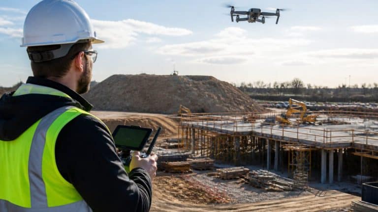
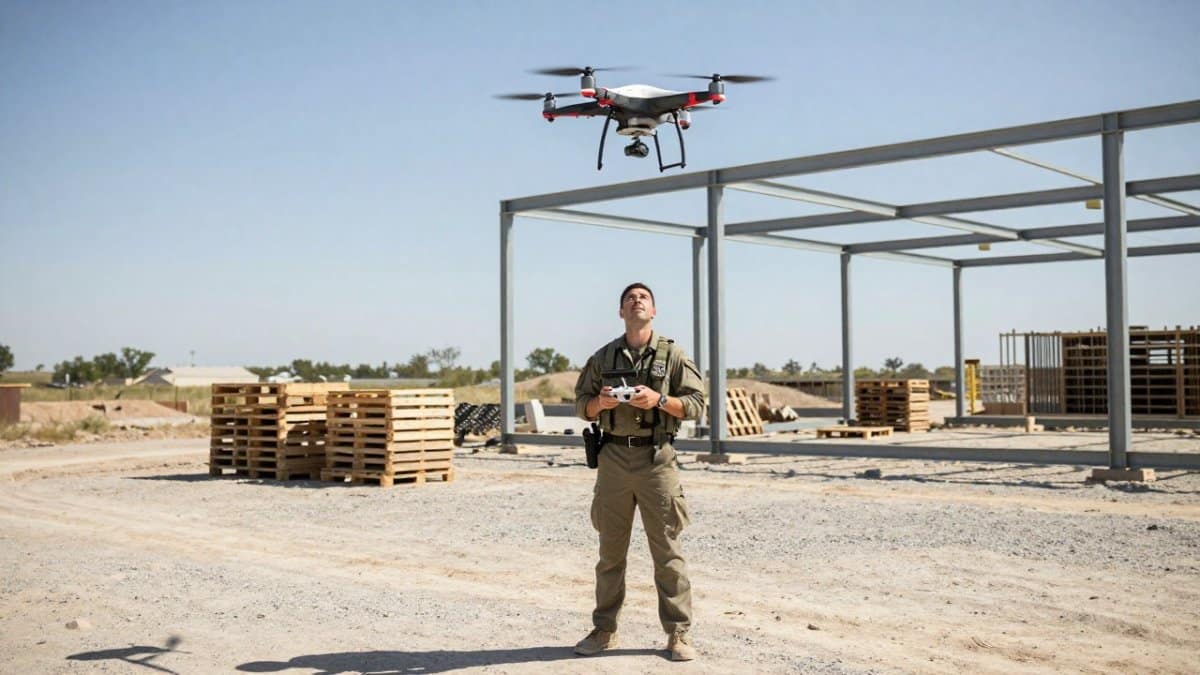
Drones and 360 cameras produce the raw record that the monitoring system depends on. A drone flight with photogrammetry processing generates an orthomosaic and a 3D point cloud of the site.
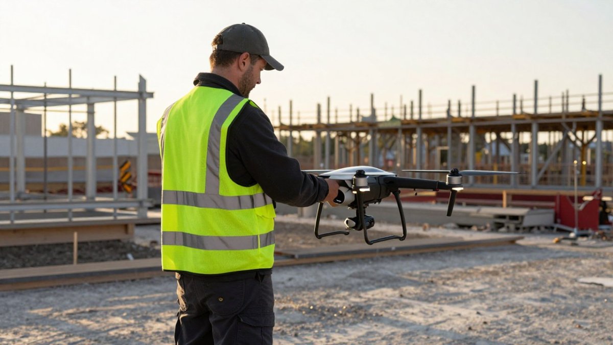
Data quality depends on consistency. Flying the same route at the same altitude, with the same overlap, each time keeps the models comparable.
Capture frequency should match the pace of the work.
Comparing Actual Progress to the Baseline Schedule
The baseline schedule is the reference point. You can follow a ready-made progress monitoring template to set up your own baseline.
To make this work, tag each model element to a schedule activity. A foundation pour, for example, should map to a specific model area and a specific task. When the model shows that area complete, the activity can be marked complete with evidence attached.
Variance should be reviewed as a trend. One late activity is a scheduling issue. The same activity running behind across three consecutive captures is a resourcing or sequencing problem that needs a decision.
Automated Construction Progress Tracking in Practice
Automation matters most in the reporting step, but the gains come from how the steps connect. See how aerial progress reporting turns drone data into schedule and budget decisions.
- Capture scheduling. The project controls manager sets a recurring flight or walkthrough date tied to the schedule update cycle, not to the calendar month. If the schedule updates every two weeks, capture every two weeks so each report compares like with like.
- Data intake. The field engineer uploads images to the processing platform the same day. Delayed uploads are the most common reason automated reports arrive too late to change a decision.
- Processing and alignment. Photogrammetry software builds the point cloud and orthomosaic, then aligns the new model to the same control points and baseline used on the prior capture. Alignment drift is the silent killer of trend comparisons.
- Element tagging and quantity takeoff. Each model element is mapped to a schedule activity and a cost code. The system estimates percent complete from installed quantities, and the scheduler reviews any activity where the model and the field report disagree by more than a set tolerance.
- Report distribution. A variance report goes to the project team, the owner’s representative, and the trade foremen whose work is flagged. Distributing to foremen is what turns a report into a conversation.
The time between capture and decision shrinks from weeks to a day or two when these handoffs are staffed. The failure mode is treating automation as a software purchase rather than a workflow with named owners at each step.
Automated tracking works best when it is paired with human review. The software can measure quantities; it cannot tell you why a crew is behind.
Watch out: if the only person who can run the processing step is on vacation, the whole program stalls.
Construction Monitoring Drone Platforms and What to Compare
Each has different strengths in mapping speed, model accuracy and integration with construction workflows. The right choice depends on your capture hardware, your team’s technical skill and the outputs your stakeholders need.
When comparing platforms, look at:
- Supported capture hardware and file formats
- Processing time for a site of your typical size
- Accuracy documentation and how it is verified
- Export options for BIM and project management tools
- Pricing structure, including per-flight, per-acre or subscription models
Pricing depends on quantity, dates, and delivery. Visit SkyeTech Aerial’s website for current prices or to request a quote.
Evaluating Accuracy, Certification and Insurance
Accuracy claims should be backed by a verification method. Ask how the provider checks models against surveyed control points, and what tolerance they commit to for your type of work.
Certification matters for safety and legal compliance. Flights should be conducted by FAA-certified pilots operating to FAA Part 107 standards. Ask for proof of both.
Watch out: a low hourly rate that omits insurance, certified pilots or processing costs often produces a higher total cost once the missing pieces are added.
When comparing platforms, the article points to a short list of criteria that matter most.
| Criterion | What to check | Why it matters |
|---|---|---|
| Capture hardware and formats | Supported hardware and file formats | Must work with your existing capture gear |
| Processing time | Time for a site of your typical size | Delays erode the value of each report |
| Accuracy documentation | How accuracy is documented and verified | Claims should be backed by a verification method |
| Export options | BIM and project management export | Models must feed your existing tools |
| Pricing structure | Per-flight, per-acre or subscription | Compare total cost, including hidden extras |
Calculating Return on Investment and Getting Team Buy-In
Most ROI conversations fail because they compare a software subscription to nothing.
A practical framework has four cost buckets on the left and three benefit buckets on the right.
Costs to quantify:
- Rework and corrective work, estimated from your last 12 months of change orders and punch-list back-charges.
- Schedule recovery costs, including overtime and acceleration premiums logged when a delay was caught late.
- Manual reporting labor, calculated as hours per week spent walking, measuring, photographing, and reconciling field notes, multiplied by a loaded labor rate.
- The monitoring program itself, including capture, processing, and the staff time to run the workflow.
Benefits to quantify:
- Earlier detection. Estimate how many days sooner a typical issue would surface with a two-week capture cycle versus a monthly manual report, then multiply by the daily cost of that issue.
- Fewer disputes. Count the claims or back-charges in the past year that hinged on a disagreement about what was built and when, and estimate the share that a dated visual record would have resolved.
- Reduced reporting labor, calculated as the manual hours replaced by automated reports.
Present the result as a payback period in months rather than a single annual figure.
Adoption is often the harder problem. Field crews may see drone flights as surveillance, and office staff may resist another system to maintain.
Results like this are a strong argument for buy-in, but measure your own project’s numbers before presenting them to leadership.
Watch out: an ROI model built only on software fees and labor savings will look thin.
Booking Your First Site Survey With SkyeTech Aerial
The simplest way to test a monitoring system is a single site survey on an active project. That gives you a baseline model, a sense of data quality and a clear picture of what a recurring program would involve.
Before booking, review About Us to see who SkyeTech Aerial is and how our pilots and processing team operate. Then request a free quote with your site size, project phase and reporting needs, and our team will recommend a capture schedule that fits your build timeline.
Frequently Asked Questions
What is the best software for tracking construction progress?
The right choice depends on your project size, existing systems and how often you need updates. Evaluate platforms on how well they import drone orthomosaics and 3D models, how they compare field data to the baseline schedule, and whether they integrate with your scheduling and BIM tools. Request a demonstration using one of your active sites so your team can judge data quality and reporting speed before committing. SkyeTech Aerial can explain how its imagery feeds into common platforms; contact the team for current pricing, which varies by project scope and delivery schedule.
How does drone-based imagery improve construction site documentation?
Drone flights capture the entire site in a single pass, producing geo-referenced orthomosaics and 3D models that show installed quantities, grading and material placement. Because each flight creates a dated record, teams can compare week-to-week conditions and document progress without relying on handwritten notes. Photogrammetry and LiDAR data can reveal grading errors that are difficult to spot from ground level. Your documentation becomes easier to defend in disputes because it is visual, time-stamped and repeatable.
How do construction monitoring systems integrate with BIM models?
Monitoring systems typically overlay site imagery and point-cloud data onto building information models, so project teams can compare as-built conditions against design intent. This makes deviations visible early, such as a misaligned slab edge or a utility run that does not match the model. Integration quality depends on coordinate alignment and file format support, so confirm that the data your provider delivers can be imported into your existing BIM environment before you start.
What is the difference between manual progress tracking and automated monitoring systems?
Manual tracking relies on superintendents walking the site, filling out daily logs and estimating percent complete. Automated monitoring collects scheduled flights or 360 captures and measures progress against the baseline schedule with less subjectivity. Manual methods still have a place for detailed inspections, but automated systems reduce the time spent on routine reporting and provide a consistent visual record. Many teams use both, with automated data guiding where field verification is needed.
How can construction progress monitoring reduce project delays and budget overruns?
Monitoring helps you spot schedule variance early, while there is still time to adjust crew assignments, material deliveries or sequencing. Accurate quantity measurements can also catch overbilling or underperformance by subcontractors before invoices are paid. When leaders see the same visual data as field crews, decisions about resource allocation happen faster. The benefit comes from acting on the data consistently, not from collecting it alone.
What certifications should a drone provider have for construction work?
In the United States, commercial drone operations are governed by the Federal Aviation Administration under 14 CFR Part 107, which requires commercial pilots to hold a Remote Pilot Certificate. Ask providers to confirm their pilots’ certificates, their adherence to Part 107 requirements for each flight, and their general liability insurance coverage. SkyeTech Aerial operates with FAA-certified pilots, follows Part 107 standards and maintains full insurance coverage; request documentation as part of your vendor review.
How much does a construction progress monitoring system cost?
Costs vary with site size, flight frequency, deliverables and reporting requirements, so there is no single standard price. Compare quotes on the same scope, including how many flights are included, which outputs you receive and how data is delivered. For a current estimate tailored to your project, request a quote from SkyeTech Aerial.
What happens if weather delays a scheduled flight?
Wind, rain, low visibility and temperature limits can postpone drone flights, so monitoring plans should include a buffer for rescheduling. Ask your provider how they handle weather delays, how quickly they can re-fly and whether the schedule is flexible across multiple sites. Planning flights around your major milestones reduces the chance that a delay leaves a critical stage undocumented.