Choosing a FlyGuys Alternative for Construction Managers
Last Updated: November 17, 2026
Quick Summary
A flyguys alternative for construction managers is a full-service drone provider that plans the flight, processes the data, and delivers finished products on a fixed schedule, rather than a pilot marketplace. Compare providers on deliverables, turnaround, and data ownership instead of pilot count.
- A drone network is a marketplace where pilots bid; a full-service provider plans, flies, and processes.
- Compare bids on site acreage, cadence, deliverables, mobilization, processing, turnaround, and weather policy.
- Confirm in the contract who owns raw imagery and processed models before the first flight.
- Photogrammetry suits open sites and stockpiles; LiDAR earns its cost on corridors and dense vegetation.
- Ask providers to name export formats and confirm delivery to your document-control structure.
Table of Contents
- Why Construction Managers Look Beyond a Single Drone Network
- Service Network vs. Full-Service Drone Provider: What’s the Difference
- Side-by-Side Comparison of Service Scope and Deliverables
- Drone Service Provider Comparison: Pricing, Coverage, and Turnaround
- Drone Progress Monitoring for Construction: What to Expect Week to Week
- Construction Drone Mapping and Construction LiDAR Services Explained
- Software Integrations, Data Ownership, and Procurement Checks
- Request a Free Quote from SkyeTech Aerial
- Frequently Asked Questions
Why Construction Managers Look Beyond a Single Drone Network
A flyguys alternative matters most to construction managers who need consistent, documented aerial data rather than a one-off flight. A drone network connects you with pilots on demand. A full-service provider delivers the flight plan, the processing, and the deliverables on a schedule you can set your calendar to.
That difference shows up fast on an active site. When a grading mistake sits buried under three feet of fill, the cost of finding it late is real. That is the case for treating aerial data as a recurring service, not a booking.
Here is what most guides get wrong: they compare drone networks on pilot count. Construction managers should compare them on deliverables, turnaround, and who owns the data.
Service Network vs. Full-Service Drone Provider: What’s the Difference
A drone network is a marketplace. You submit a mission, pilots bid, and you receive imagery from whoever wins. A full-service provider plans the flight, flies it, processes the data, and hands you finished products on a fixed schedule.
Networks give you reach. Full-service providers give you consistency, which matters more when you are comparing aerial products across a progress timeline. For a broader view of how these models stack up, see our professional drone services buyer’s guide.
Side-by-Side Comparison of Service Scope and Deliverables
The two models hand you very different packages. Here is the practical breakdown.
| Factor | Pilot Network | Full-Service Provider |
|---|---|---|
| Flight planning | You define the mission | Provider plans and flies |
| Pilot consistency | Varies by bid | Same certified crew |
| Data processing | Often extra | Included in scope |
| Deliverables | Raw imagery or basic map | Orthomosaic, 3D model, volumes |
| Turnaround | Depends on pilot | Scheduled and repeatable |
| Data ownership | Confirm in contract | Confirm in contract |
What Each Model Actually Hands You
From a network, expect aerial imagery and a basic map, with processing often priced separately.
The thing nobody tells you about networks is that processing is where projects stall. A pilot delivers photos; someone still has to turn them into a model your team can measure.
Drone Service Provider Comparison: Pricing, Coverage, and Turnaround
Most comparison pages stop at “get three quotes.” That is not enough when you are scheduling aerial data across a multi-phase job. The useful comparison is not the headline number, it is what drives that number and what happens when the schedule slips.
What Actually Drives the Quote
A pilot network and a full-service provider build their quotes from different inputs. The same site can produce very different totals depending on four variables:
- Site size and flight footprint. A 40-acre graded pad and a 400-acre corridor are different missions with different flight times and processing loads.
- Cadence. A one-time baseline flight is priced differently from a weekly or biweekly program across a 12-month build.
- Deliverable depth. Raw imagery, a georeferenced orthomosaic, a 3D model, stockpile volumes, and progress comparisons each add processing time.
- Mobilization. Travel to a remote site, airspace coordination, and setup add cost that a per-mission bid may or may not include.
Coverage and Pilot Availability
Coverage is not just “do you serve my state.” Ask how the provider staffs a recurring program when the same pilot is unavailable, and whether the replacement crew flies the same flight plan so the imagery stays comparable week to week. A network’s reach is real, but consistency across flights is what makes progress comparisons valid.
Turnaround and Weather Contingency
Turnaround is the number of business days from flight to finished deliverable, and it should be written into the scope. Ask what the provider’s standard turnaround is, what triggers a rush, and how they handle a rained-out flight day.
How to Compare Bids Side by Side
Put every quote on one page with the same rows: site acreage, cadence, deliverables, mobilization, processing, turnaround, and weather policy. The lowest total is rarely the best value if it excludes processing or leaves the data in a format your team cannot use. For construction-specific scope, our drone surveying services for construction page shows what a full-service engagement includes.
Drone Progress Monitoring for Construction: What to Expect Week to Week
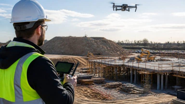
Drone progress monitoring for construction is a recurring flight program that captures the same site on a fixed schedule, then processes each flight into comparable maps and models. The value comes from the cadence, not any single flight.
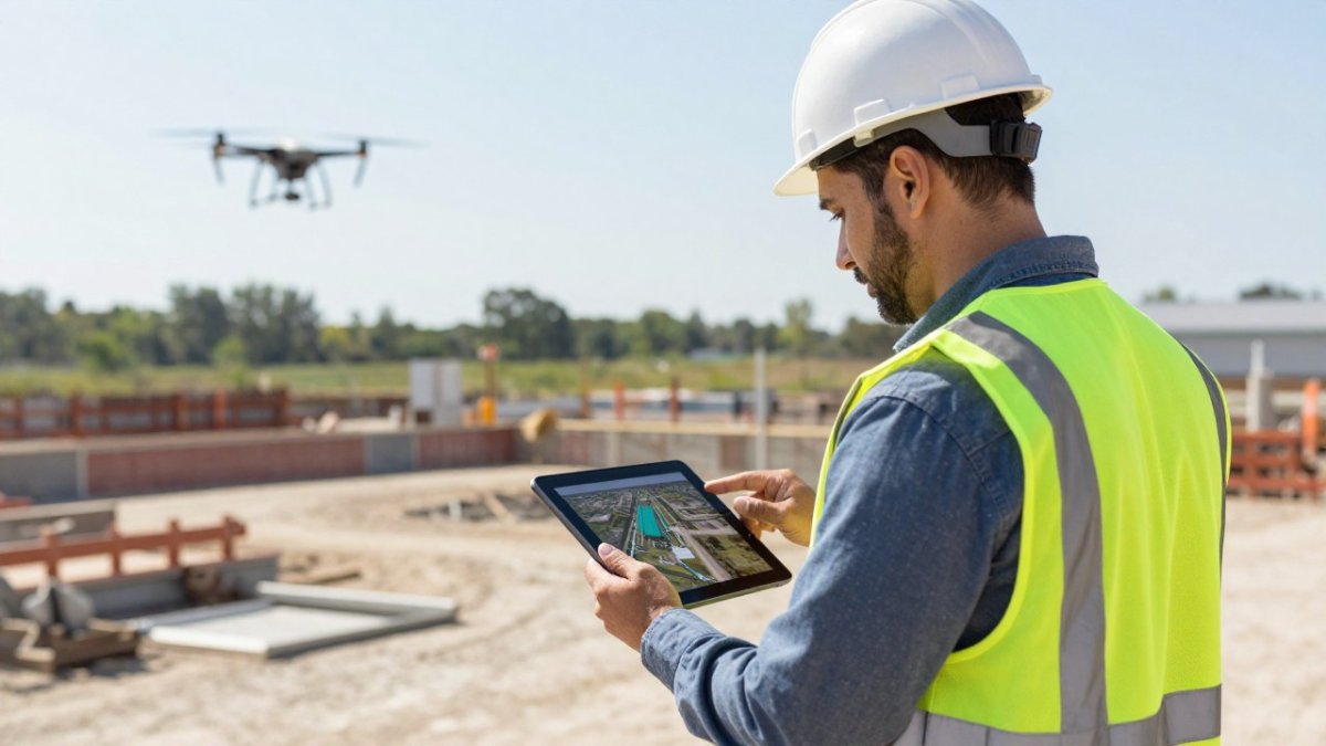
A typical week looks like this:
- Flight day: the crew captures the site to a set flight plan.
- Processing: imagery becomes an orthomosaic and 3D model.
- Review: your team compares the model to the prior week and the baseline.
- Reporting: deliverables land in your project folder for the OAC meeting.
See how construction progress tracking with drones works in practice.
Construction Drone Mapping and Construction LiDAR Services Explained
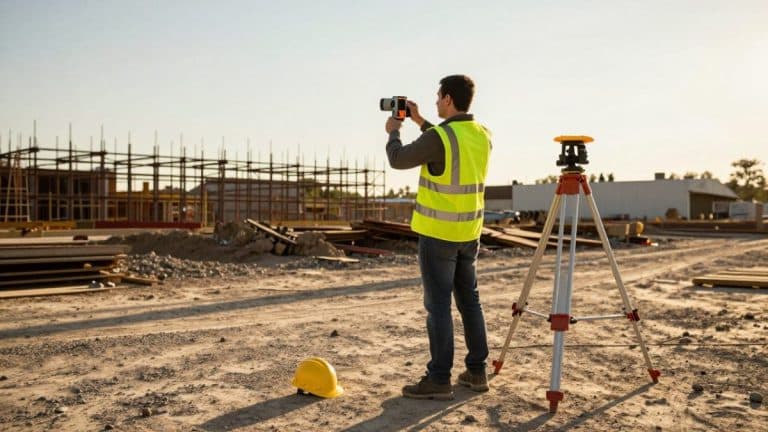
Construction drone mapping turns aerial photos into measurable products: orthomosaics, digital surface models, and 3D reconstructions. Construction LiDAR services use laser scanning to capture elevation and structural data through vegetation and shadow, which photogrammetry struggles with.
When Photogrammetry Is Enough and When You Need LiDAR
Photogrammetry handles open sites, stockpile volumes, and progress imagery well. LiDAR earns its cost on corridor work, dense vegetation, and structural detail where photo-based models leave gaps. If you are weighing the two, read our guide on using LiDAR mapping technology on construction sites.
Software Integrations, Data Ownership, and Procurement Checks
Flight quality gets the attention, but integration and ownership questions decide more deals. A perfect orthomosaic that lives in a folder nobody opens is a sunk cost. The section below explains how aerial data actually reaches your team and what to put in writing before the first flight.
How Aerial Data Reaches Your Workflow
Captured imagery moves through three stages, and each one is a place a provider can either help or hand you a problem:
- Capture and processing. Photos become an orthomosaic, digital surface model, and 3D reconstruction in a photogrammetry platform such as DroneDeploy, Pix4D, or DJI Terra.
- Export. Deliverables leave that platform in formats your other tools accept, GeoTIFF for GIS, OBJ or LAS for modeling, PDF and CSV for reporting.
- Ingestion. Files land in your project management, BIM, GIS, or document-control system, where they are versioned against the schedule and the baseline.
Ask the provider to name the export formats for each deliverable and to confirm they can deliver to your document-control structure, not just a shared drive. Managers who run BIM coordination need to know whether models can be referenced against the design model; GIS teams need coordinate reference system details. A provider that cannot answer those questions in writing is a risk on a recurring program.
Data Ownership, Security, and Retention
Ownership and access are separate questions. Confirm in the contract who owns the raw imagery, who owns the processed models, and whether the provider retains a copy for its own use. Ask where data is stored, who can access it, and how long it is retained after the project closes. On public work or sensitive sites, data-handling terms may need review by your legal and IT teams before mobilization.
Procurement Checks Worth Running
- Confirm FAA Part 107 compliance and pilot certification for every crew that flies your site
- Verify insurance coverage and request a certificate of insurance naming your organization
- Confirm who owns raw imagery and processed models, and get it in the contract
- Check export formats against your project management, BIM, and GIS tools
- Agree on turnaround, weather contingency, and rescheduling policy in writing
- Confirm data storage location, access controls, and retention period
- [ ]
Watch out: a provider that treats data ownership as an after-the-fact conversation can leave you unable to reuse your own site imagery on the next phase or with a different vendor.
Request a Free Quote from SkyeTech Aerial
Choosing a flyguys alternative comes down to whether you want a marketplace or a partner who owns the whole data pipeline. Contact us to request a free quote. SkyeTech Aerial flies with FAA-certified pilots to Part 107 standards, fully insured, using photogrammetry and LiDAR on platforms like DroneDeploy, Pix4D, and DJI Terra. You get centimeter-level accuracy and orthomosaic and 3D model imagery your team can act on.
If inconsistent aerial data is slowing your progress reporting, we can scope a recurring flight program for your sites. SkyeTech Aerial handles flight planning, processing, and deliverables so your team spends time building, not chasing imagery. Get started with SkyeTech Aerial and put reliable site data behind every progress meeting.
Frequently Asked Questions
What should construction managers compare when choosing a drone service provider?
Start with the service model: a pilot network dispatches local operators, while a full-service provider controls pilots, processing, and QA in-house. Then compare deliverables (orthomosaics, 3D models, volume reports), turnaround time, coverage for recurring flights, software integrations, insurance, and FAA Part 107 compliance. Ask who owns the raw data and whether you get it. A flyguys alternative should be judged on these specifics, not on fleet size alone.
Which drone deliverables are useful for tracking construction progress?
Orthomosaics give a current top-down view of the whole site. 3D models and point clouds support cut/fill and stockpile volume checks. Overlay comparisons between flights show change detection, which is how you verify subcontractor work and catch grading errors early. Elevation data supports earthwork tracking. Ask your provider which of these arrive with each flight and which cost extra, because deliverables vary widely between service models.
How often should a construction site be surveyed by drone?
Frequency depends on project phase and how fast the site changes. Active earthwork and grading often justify weekly flights; structural phases may need less. Recurring flights on a fixed schedule make progress monitoring comparable week to week, which is where the value sits. Discuss cadence, weather contingency, and how quickly data is processed with your provider before committing to a schedule.
What is the difference between drone imagery, photogrammetry, and LiDAR?
Drone imagery is the raw aerial photography. Photogrammetry stitches overlapping images into orthomosaics and 3D models, and it works well for open sites with good lighting. LiDAR fires laser pulses to capture elevation and structural data directly, which helps under vegetation and in low light. Many construction projects use both. Ask a provider which method fits your site conditions before you compare quotes.
Can drone data integrate with construction management software?
Often yes, but it depends on the provider and the platform. Data processed through tools like DroneDeploy, Pix4D, or DJI Terra can usually be exported in formats your project management software accepts. Ask specifically which exports you receive (orthomosaics, point clouds, PDF reports), whether they load into your existing workflow, and whether you keep access to the raw data after the project ends.