How to Calculate Drone Survey Costs
Table of Contents
- Understanding Drone Survey Pricing Basics
- Key Factors That Affect Drone Survey Pricing
- Drone Survey Pricing Models Explained
- Drone Mapping Cost Per Acre and Project Scope
- Building a Drone Survey Quote Template
- Drone Survey Turnaround Time and Its Cost Impact
- Comparing Drone Survey Quotes and Assessing Value
- Common Mistakes to Avoid When Calculating Costs
- Frequently Asked Questions
Last Updated: October 17, 2026
Understanding Drone Survey Pricing Basics
When you’re considering drone survey services, the first thing to understand is that calculate drone survey costs isn’t a simple formula. The price depends on multiple factors that vary project to project.
The reason is straightforward: drone survey pricing isn’t one-size-fits-all. A small residential lot requires a completely different approach than a sprawling construction site or a linear infrastructure project. Understanding what drives these costs helps you build realistic budgets and evaluate quotes fairly.
Most clients ask one of two questions: “How much per acre?” or “What’s a typical project cost?” Both are reasonable, but they skip the real work.
Before requesting quotes, gather basic project information: site size, terrain type, access challenges, and what you need delivered. Providers can give you a rough range in minutes if you have these details ready.
Key Factors That Affect Drone Survey Pricing
Site size and terrain complexity are the two biggest cost drivers. But they’re not the only ones. Understanding each factor helps you see why quotes vary so much, and whether a lower price means better value or just incomplete service.
Site Size and Acreage
Larger sites cost more to survey. That’s obvious. But the relationship isn’t always linear.
A 5-acre site takes more flight time than a 1-acre site. More flight time means more battery cycles, more data to process, and more time in the field. However, the per-acre cost often drops as sites get larger.
When you request a quote, site size is the first question providers ask. It determines flight time, battery requirements, and processing load.
Terrain Complexity and Accessibility
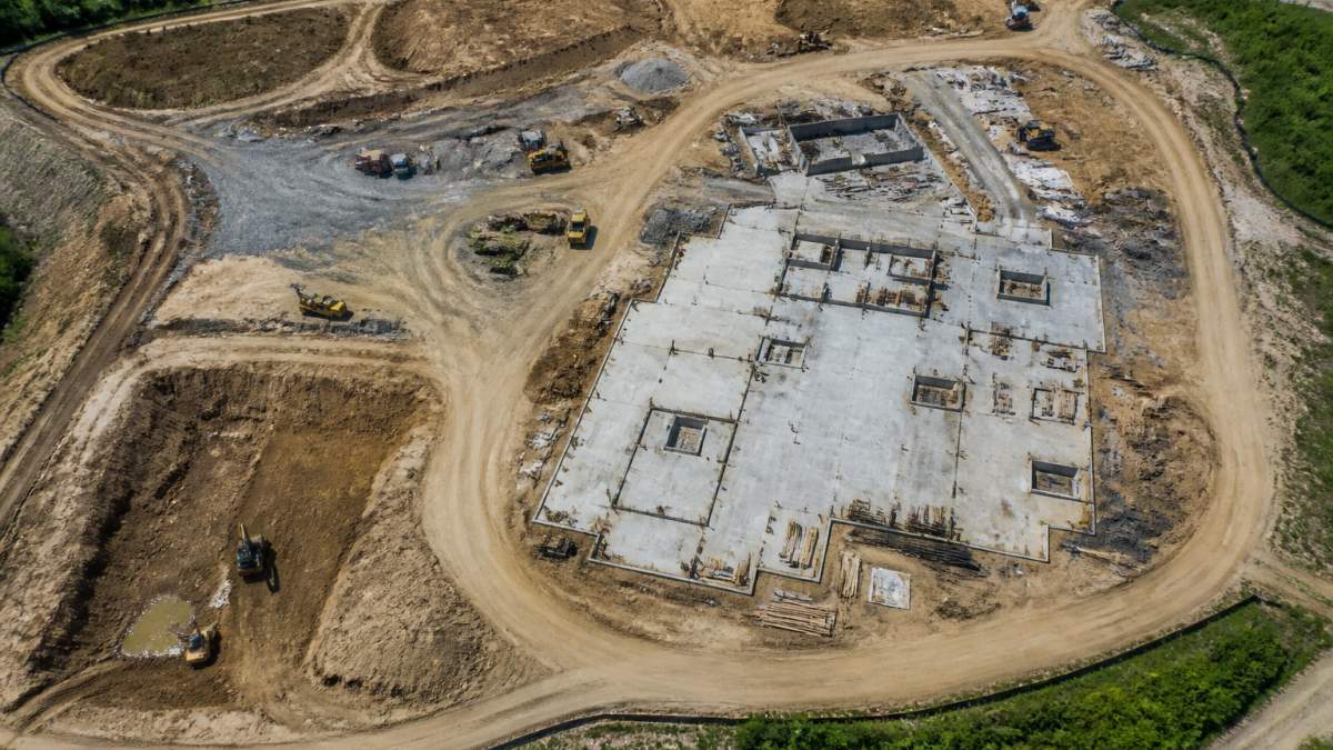
Flat, open land is cheap to survey. Steep terrain, dense vegetation, or complex site layouts cost significantly more.
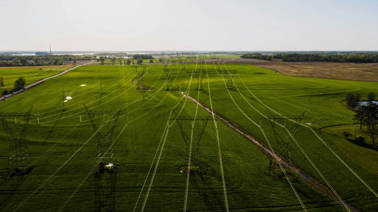
Rough terrain requires slower flight speeds and more careful flight planning. Obstructions, trees, structures, power lines, force pilots to fly lower or adjust flight paths, which increases flight time. Sites with mixed elevations need more passes to capture accurate data. Inaccessible areas (cliffs, water, dense forest) may require additional flights or different drone types.
Accessibility also affects mobilization costs. A site 30 minutes from the provider’s base costs less to reach than one two hours away. Weather delays on remote sites can push costs higher because the crew may need to return multiple times.
Deliverables and Data Processing
What you’re paying for isn’t just the flight. It’s the data and what the provider does with it.
Basic deliverables include aerial photos and a basic orthomosaic (a stitched, georeferenced image). More advanced deliverables include 3D models, topographic maps, volumetric measurements, or thermal imaging. Each adds processing time and specialized software.
Processing time scales with data volume and complexity. A simple orthomosaic for a 10-acre site might take 4 hours. A full 3D model with ground control points for a complex site can take 20+ hours. That processing cost gets built into the quote.
Drone Survey Pricing Models Explained
Providers use different pricing structures. Understanding each model helps you compare quotes fairly and predict what your project will actually cost.
Per-Acre Pricing
This is the most common model for straightforward projects. The provider charges a set rate per acre.
Per-acre pricing works well for simple, uniform sites. A flat 20-acre construction lot might be quoted at a fixed rate per acre. You multiply the rate by the acreage and get a total. Simple.
The catch: per-acre pricing assumes similar complexity across the entire site. If half your site is dense forest and half is open field, the per-acre model breaks down. Providers often add surcharges for complexity or accessibility issues.
Fixed-Price Projects
For well-defined projects, providers quote a flat fee regardless of site size.
Fixed-price quotes work when the scope is clear: “Deliver an orthomosaic and basic 3D model by Friday.” The provider absorbs the risk if the project takes longer than expected. This model protects you from surprise costs but may result in higher quotes because providers build in a buffer.
Fixed pricing is common for repeat clients or standardized deliverables. It’s less common for complex or unusual projects where the provider can’t predict exactly how long the work will take.
Hourly Rates and Travel Costs
Some providers charge by the hour for fieldwork, plus separate charges for travel and processing.
Hourly rates typically cover pilot time, equipment use, and basic data capture. Travel costs are separate, usually a per-mile charge or a flat fee depending on distance. Processing is often billed separately based on deliverable complexity.
This model is transparent but requires you to estimate how many hours the project will take. It works well for ongoing relationships where the provider knows your typical projects, but it creates uncertainty upfront.
Drone Mapping Cost Per Acre and Project Scope
When you’re trying to calculate drone survey costs, the per-acre figure everyone quotes can be misleading. Here’s why: per-acre pricing doesn’t account for fixed costs.
Every drone survey has fixed costs: mobilization, flight planning, equipment setup, and minimum processing time. A 1-acre site and a 5-acre site both require the same setup work.
This is why small sites are expensive per acre and large sites are cheap per acre.
When you calculate drone survey costs for your project, think about total cost, not per-acre cost. A 10-acre site at $200 per acre costs $2,000. A 20-acre site at $120 per acre costs $2,400.
Building a Drone Survey Quote Template
To get accurate quotes and compare them fairly, you need to request the right information. Here’s what to ask for and why it matters.
Essential Information to Request
A complete quote should include:
- Mobilization fee: Travel, setup, and planning costs
- Flight time: Hours in the air (or number of batteries used)
- Data processing: Time and software costs to create deliverables
- Deliverables: Exact files and formats you’ll receive
- Timeline: When you’ll get the data
- Assumptions: Site conditions, access, and weather assumptions
- Contingencies: What happens if weather delays the flight
Providers who give you a single number without breaking it down are hiding something. A transparent quote shows you exactly where your money goes.
Worked Example: Calculating a Real Project
Let’s walk through a real scenario. You’re managing a 15-acre construction site with mixed terrain. You need an orthomosaic, a basic 3D model, and volumetric data for stockpile measurement. The site is 45 minutes from the provider’s office.
Here’s how the quote breaks down:
| Cost Component | Estimate | Notes |
|---|---|---|
| Mobilization | $400 | Travel + setup + flight planning |
| Flight operations | $600 | 3 battery cycles, 90 minutes flight time |
| Data processing | $500 | 3D model + orthomosaic + volume calculations |
| Deliverables packaging | $150 | Cloud storage link, file formats, metadata |
| Total | $1,650 | Delivered within 5 business days |
This breaks down to $110 per acre. But the per-acre number is misleading, you’re not paying for 15 acres of work. You’re paying for one mobilization, one flight, and one processing job that happens to cover 15 acres.
If the same provider quoted a 5-acre site with identical complexity, the quote might look like this:
| Cost Component | Estimate | Notes |
|---|---|---|
| Mobilization | $400 | Travel + setup + flight planning (same) |
| Flight operations | $250 | 1 battery cycle, 30 minutes flight time |
| Data processing | $250 | Simpler 3D model, fewer calculations |
| Deliverables packaging | $100 | Same cloud delivery |
| Total | $1,000 | Delivered within 5 business days |
This is $200 per acre, double the 15-acre rate. But the total cost is lower because there’s less actual work. The fixed costs (mobilization) are the same, but they’re spread across fewer acres.
When comparing quotes, focus on total cost and what’s included, not the per-acre number. A higher per-acre rate on a small site is often fair because fixed costs are significant.
Drone Survey Turnaround Time and Its Cost Impact
How fast you need the data affects the price. Rush jobs cost more.
Standard turnaround is 5-10 business days. The provider flies when weather permits, processes the data in batches, and delivers files within that window. This is the baseline quote.
Expedited turnaround (2-3 days) requires the provider to prioritize your project, which means pulling resources from other work. Rush delivery often incurs premium fees due to accelerated data processing and prioritized scheduling.
Weather also affects timing. If your site gets rain or high winds during the scheduled flight window, the provider reschedules. Seasonal projects (winter construction, spring planting) often have tight timelines. Building flexibility into your schedule reduces costs, providers can batch similar projects and fly when conditions are optimal.
Comparing Drone Survey Quotes and Assessing Value
You’ve requested quotes from several providers. Which is the best deal?
Don’t pick the cheapest. Compare what each provider is actually delivering.
A lower quote might include only basic aerial photos and a simple orthomosaic. A mid-range quote might add a basic 3D model and cloud storage.
SkyeTech Aerial uses FAA Part 107 standards and centimeter-level accuracy with drone photogrammetry and LiDAR. That precision costs more upfront but saves money later, accurate data catches grading errors and measurement mistakes early, before they become expensive rework.
Ask each provider:
- What accuracy level does the data have?
- What software and formats will you receive?
- How long is the data valid for revisions or additional analysis?
- What happens if you need to re-fly the site?
- How do they handle data security and storage?
A higher-priced quote often reflects better accuracy, faster processing, or more comprehensive deliverables. Sometimes the cheapest option is the best value. Sometimes it’s the most expensive. The difference is in what you actually get.
Common Mistakes to Avoid When Calculating Costs
Most clients make one of these mistakes when budgeting for drone surveys:
Forgetting mobilization costs. You see a per-acre rate and multiply it by your acreage. You forget that the provider has to drive to your site, set up equipment, and plan the flight. These fixed costs can be a significant portion of the total quote on small sites.
Underestimating complexity. You think your site is “flat and simple,” but it has trees, power lines, or buildings.
Not specifying deliverables. You assume “drone survey” means the same thing to every provider. One gives you photos. Another gives you a 3D model.
Ignoring turnaround time. You need the data Friday, so you request rush service. Rush service costs more. If you can wait 10 days, the standard rate is lower.
Not asking about re-flights. Weather delays happen. Ask whether a re-flight is included in the price or charged separately.
Calculating drone survey costs requires you to understand what providers actually do, and what you’re actually paying for. Site size, terrain, deliverables, and timeline all matter.
When you’re ready to get accurate pricing for your project, request a quote from SkyeTech Aerial. We provide centimeter-level accuracy using advanced photogrammetry and LiDAR, and our FAA-certified pilots deliver reliable data that helps you track progress, verify work, and catch errors early. Request Free Quote and let’s discuss your specific project needs.
Frequently Asked Questions
What factors affect drone survey pricing the most?
The primary factors are site size (measured in acres), terrain complexity, required deliverables, and travel distance. Larger or more complex sites with multiple return trips cost more. The type of data you need, basic orthomosaic, 3D model, or LiDAR point cloud, also significantly affects the final price. Weather and seasonal accessibility can add delays and costs.
How do you calculate drone mapping cost per acre?
Per-acre pricing varies based on site conditions and data quality requirements. Providers typically assess your specific project scope, including terrain difficulty and deliverables needed, then provide a quote. Simpler, flat sites with basic orthomosaics may have a different per-acre rate than complex terrain requiring 3D modeling or LiDAR. Request a quote from your provider for an accurate per-acre figure for your project type.
What should I include in a drone survey quote template?
A complete quote template should include: site location and acreage, required deliverables (orthomosaic, 3D model, etc.), flight hours and data processing time, travel and mobilization costs, equipment specifications, accuracy requirements, and turnaround time. It should also clarify what happens if weather delays flights and whether multiple return trips are included. This ensures you can compare quotes fairly across providers.
How does drone survey turnaround time affect cost?
Standard turnaround typically takes 5-10 business days from flight to final deliverables. Rush delivery or same-day quotes often incur additional fees due to accelerated data processing and prioritized scheduling. Weather delays can extend timelines, and sites requiring multiple flights or complex analysis take longer. Discuss realistic timelines with your provider when requesting a quote to avoid unexpected charges for expedited service.