How to Hire a Drone Service in the Hudson Valley
Last Updated: November 1, 2026
Quick Summary
To hire a drone service in the Hudson Valley, choose a provider with a Part 107 certified pilot, a registered and Remote ID-compliant aircraft, and a clear process for controlled airspace and TFR checks. Get the deliverables, processing method, and timeline in writing before any flight. Share your site address, target dates, and goals so the provider can quote accurately.
- Confirm the pilot holds a current Part 107 certificate before booking.
- Ask whether the aircraft is FAA-registered and broadcasts Remote ID.
- Verify the provider uses LAANC or another FAA-approved process for controlled airspace.
- Put every deliverable, timeline, and data format in the written scope of work.
- Choose photogrammetry or LiDAR based on whether your goal is models or terrain.
Table of Contents
- Why Hudson Valley Projects Use Drone Services
- Know the FAA Rules Before You Hire a Drone Service
- Drone Services for Construction: What to Expect
- Drone Mapping Services: Photogrammetry vs. LiDAR
- Drone Survey Deliverables to Request in Writing
- Drone Service Provider Checklist for Vetting Vendors
- Preparing Your Request and Booking Your First Flight
- Frequently Asked Questions
Hiring a drone service in the Hudson Valley can save a project weeks of guesswork, but only if you choose the right provider and ask for the right deliverables. This guide walks you through what to look for, what to ask for in writing, and how to book a first flight with confidence.
Why Hudson Valley Projects Use Drone Services
Drones capture site imagery for grading checks, progress tracking, and early problem detection. Learn how drone construction site monitoring in the Hudson Valley supports local builds.
Know the FAA Rules Before You Hire a Drone Service
Commercial drone flights in the United States fall under Federal Aviation Administration rules, commonly called Part 107. A qualified provider should hold a Part 107 remote pilot certificate and operate under those standards. But the rules go deeper than a certificate, and understanding them helps you ask better questions and spot a provider who cuts corners.
Registration and Remote ID. Any drone flown for commercial work must be registered with the FAA, and the aircraft must broadcast Remote ID, a digital license plate that identifies the drone and its location to other airspace users. Ask whether the provider’s fleet is registered and Remote ID-compliant, and whether they can show you the registration records.
Airspace classes and LAANC. Controlled airspace is divided into classes, and flights in those areas generally require authorization. The FAA’s Low Altitude Authorization and Notification Capability, or LAANC, lets pilots request near-real-time approval through FAA-approved apps. A provider who skips the airspace check can put your project at risk, so ask how they plan each flight and whether they use LAANC.
Temporary flight restrictions. Wildfires, emergency response, and large events can trigger temporary flight restrictions, or TFRs, with little notice. A professional checks for TFRs the morning of every flight, not just at booking.
Recreational versus commercial. Hobbyists flying for fun operate under different rules than commercial pilots. If a provider cannot clearly explain which rule set applies to your job, that is a red flag.
Ask every vendor to confirm:
- The pilot holds a current Part 107 certificate
- The aircraft is registered and Remote ID-compliant
- The company uses LAANC or another FAA-approved process for controlled airspace
- Flights are planned around TFRs, restricted areas, and nearby airports
Some sites sit near controlled airspace or sensitive locations. A provider who cannot walk you through the airspace class, the authorization method, and the TFR check is not ready for commercial work.
FAA Part 107 small unmanned aircraft rules
Drone Services for Construction: What to Expect
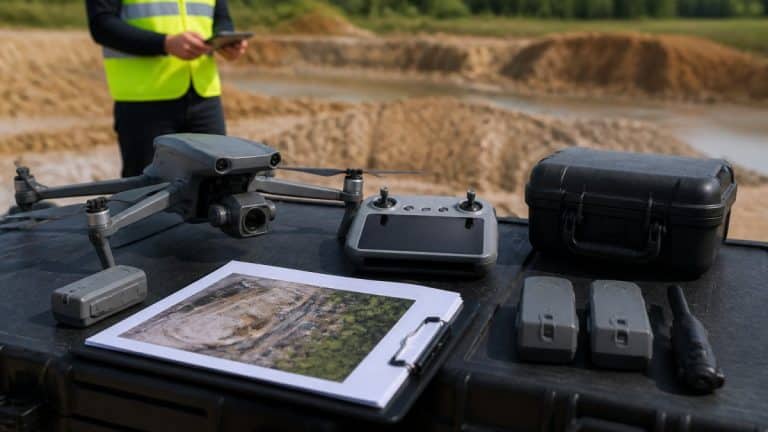
Construction teams often use drone services for progress tracking and site verification.
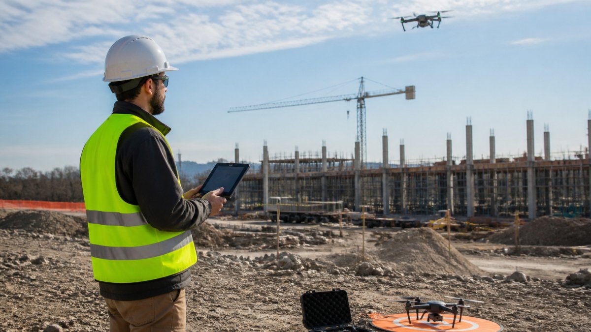
!A drone pilot in a high-visibility vest reviews a flight plan on a tablet beside an active construction site in the Hudson Valley
Expect the process to follow a clear sequence:
- Scope call to define the area, timing, and deliverables
- Site review for hazards, access, and flight restrictions
- Data capture on an agreed schedule
- Processing and delivery of models, maps, or reports
Pricing depends on site size, flight frequency, and delivery format. For a concrete reference point, see drone roof inspection pricing when comparing vendor quotes. Request a quote from SkyeTech Aerial’s website.
Drone Mapping Services: Photogrammetry vs. LiDAR
Two methods show up most often in mapping work. Photogrammetry builds 3D models and orthomosaics from overlapping photos (Creating 3D point clouds, digital elevation models, and orthomosaics from historical…). LiDAR uses laser pulses to measure terrain, including areas under light vegetation.
Photogrammetry and LiDAR are both methods SkyeTech Aerial uses for mapping work. Ask your provider which method fits your goal and why.
FAA Part 107 small unmanned aircraft rules
The article contrasts the two mapping methods it names, so here is a quick comparison.
| Method | How it works | Best for |
|---|---|---|
| Photogrammetry | Builds 3D models and orthomosaics from overlapping photos | Models and maps built from imagery |
| LiDAR | Uses laser pulses to measure terrain | Terrain, including areas under light vegetation |
Drone Survey Deliverables to Request in Writing
Written deliverables prevent confusion after the flight. Review how drone survey costs are calculated to understand what drives pricing before you request a written scope. Put every item in your scope of work before work begins.
Ask whether the provider uses established processing platforms and how raw data is stored and shared.
Drone Service Provider Checklist for Vetting Vendors
Use this checklist when you compare providers:
- Part 107 certified pilots on staff
- Current liability insurance on file
- Experience with projects like yours
- Clear written scope and deliverables
- Defined processing and delivery timeline
- Safety and airspace planning process
Ask for references from similar projects. A provider who answers clearly and quickly is usually easier to work with later.
Preparing Your Request and Booking Your First Flight
Before you contact a provider, gather your site address, project phase, target dates, and the decisions the data will support. That information lets the provider quote accurately. But a smooth first flight also depends on planning the conditions and the preflight routine, the part most guides skip.
Weather and seasonal conditions. Wind, visibility, and precipitation drive whether a flight happens. Weather such as wind, rain, and low visibility can prevent a flight, and seasonal foliage can affect the quality of photogrammetry and terrain data. Plan mapping and survey work around the season that matches your goal.
Daylight and timing. Commercial flights are generally conducted in daylight or civil twilight with appropriate lighting. Morning and late-afternoon light produces longer shadows that can help or hurt a model, so ask the provider how they schedule capture for consistent results across visits.
Beginner equipment and preflight checklist. If you are flying your own drone for the first time, a structured preflight routine prevents most problems:
- Confirm registration and Remote ID are active
- Charge and inspect batteries; check for swelling or damage
- Verify propellers are secure and free of nicks
- Check the airspace class and request LAANC authorization if needed
- Review TFRs and local restrictions the morning of the flight
- Confirm GPS lock and home-point before takeoff
- Set a return-to-home altitude above nearby obstacles
- Fly with a visual observer when the site has blind spots
Local restrictions and land-manager rules. Parks, state lands, and private property each carry their own rules. Some public lands require permits or prohibit takeoff and landing even where overflight is legal.
Booking your first flight. Share your deliverables list, site access restrictions, and any seasonal timing needs so the provider can plan capture around conditions. Request a free quote through SkyeTech Aerial’s website.
Build a one-page flight plan for every job: site address, airspace class, authorization status, TFR check, weather forecast, crew roles, and emergency landing zones. It takes minutes and prevents most avoidable problems.
Frequently Asked Questions
How do I hire a professional drone service in the Hudson Valley?
Start by confirming the provider holds an FAA Part 107 remote pilot certificate and carries liability insurance. Ask for examples of past deliverables, such as orthomosaics or 3D models, and request a written scope that lists the flight area, data outputs, file formats, and delivery timeline. Compare at least two written proposals before you sign. Pricing depends on site size, flight count, and deliverables, so ask each provider for a written quote based on your specific project.
What should I look for when choosing a drone service provider?
Look for FAA Part 107 certified pilots, proof of insurance, and experience with your type of project, whether that is construction, utilities, or agriculture. Ask which processing software the provider uses, such as DroneDeploy, Pix4D, or DJI Terra, and whether they deliver georeferenced outputs. Check how they handle weather delays and how quickly they return data. A provider who answers these questions in writing is usually easier to manage over a long project.
What information should I give a drone operator before requesting a quote?
Share the site address or boundary, the approximate acreage or linear footage, and the reason for the flight, such as progress tracking, volume calculations, or roof inspection. Include any airspace or access constraints, nearby structures, and whether the site is occupied during flights. Note the deliverables you need, the required accuracy, and your preferred schedule. The more complete the request, the more accurate the proposal will be.
Can drones create 3D models and orthomosaic maps for construction projects?
Yes. Drones capture overlapping images that processing software stitches into orthomosaics, which are geometrically corrected maps, and 3D models that show surface and elevation detail. Construction teams use these outputs to compare progress against plans, check grading, and calculate stockpile volumes. Accuracy depends on flight planning, ground control points, and the sensor used, so ask the provider to describe their accuracy method before you rely on the data.